MyTopo
Kaiser Peak California US Topo Map
Couldn't load pickup availability
Also explore the Kaiser Peak Forest Service Topo of this same quad for updated USFS data
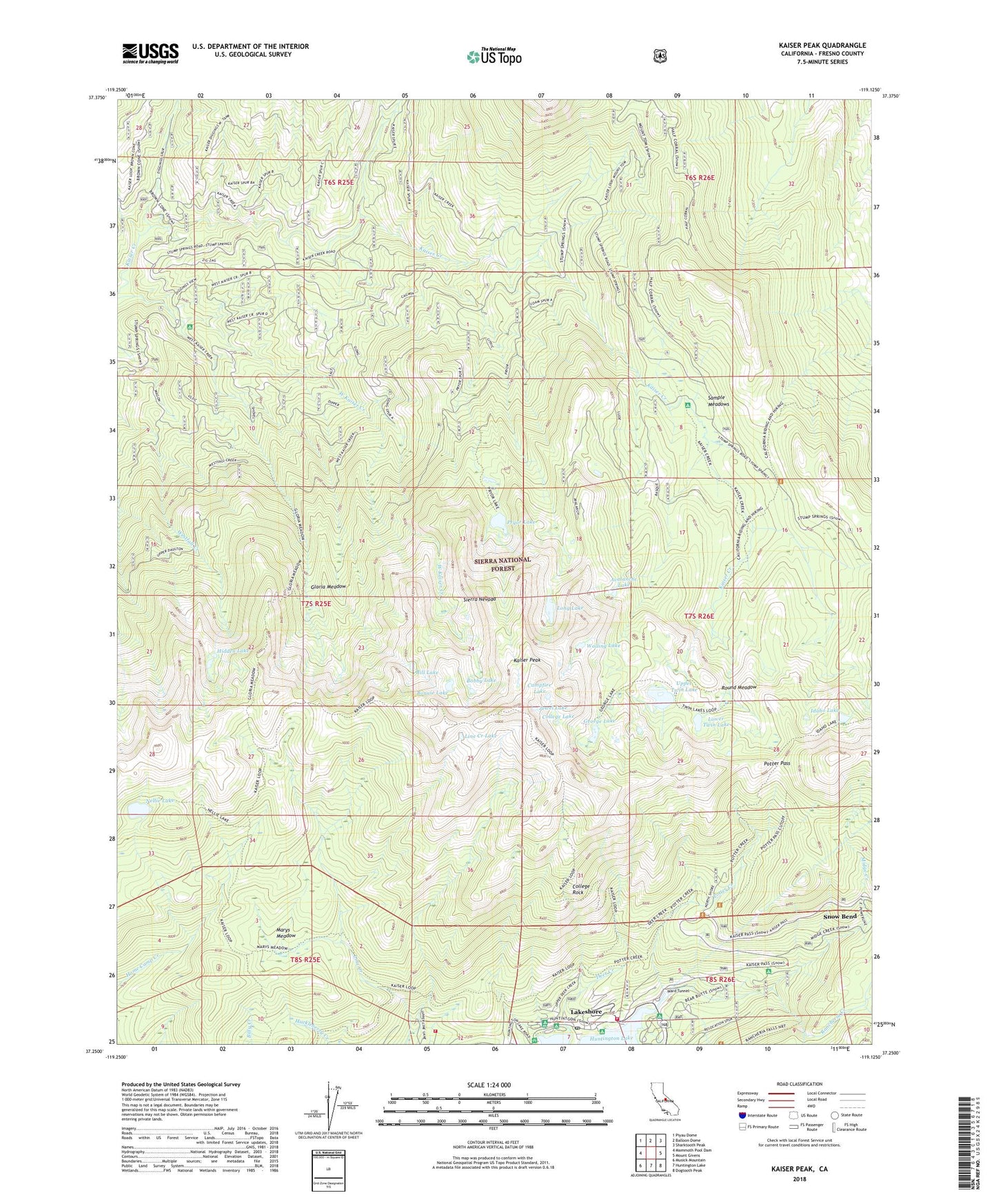
2021 topographic map quadrangle Kaiser Peak in the state of California. Scale: 1:24000. Based on the newly updated USGS 7.5' US Topo map series, this map is in the following counties: Fresno. The map contains contour data, water features, and other items you are used to seeing on USGS maps, but also has updated roads and other features. This is the next generation of topographic maps. Printed on high-quality waterproof paper with UV fade-resistant inks.
Quads adjacent to this one:
West: Mammoth Pool Dam
Northwest: Piyau Dome
North: Balloon Dome
Northeast: Sharktooth Peak
East: Mount Givens
Southeast: Dogtooth Peak
South: Huntington Lake
Southwest: Musick Mountain
This map covers the same area as the classic USGS quad with code o37119c2.
Contains the following named places: Avalanche Lake, Bear Cove Picnic Area, Bill Lake, Bobby Lake, Bonnie Lake, Campfire Lake, Catavee Campground, College Campground, College Lake, College Rock, D and F Pack Station, Deer Creek, Deer Creek Campground, Eastwood Vista, George Lake, Gloria Meadow, Hidden Lake, Huntington Lake Volunteer Fire Department, Huntington Lake Volunteer Fire Department Station 2, Idaho Lake, Jewel Lake, Kaiser Diggings, Kaiser Diggings Forest Service Station, Kaiser Park, Kaiser Peak, Kaiser Wilderness, Kinnikinnick Campground, Kokanee Campground, Lakeshore, Lakeshore Post Office, Lakeshore Village Resort, Line Creek Lake, Long Lake, Lower Twin Lake, Marys Meadow, Midge Creek, Nellie Lake, Potter Creek, Potter Pass, Pryor Lake, Rancheria Creek, Rancheria Garage, Round Meadow, Sample Meadow Campground, Sample Meadows, Sierra National Forest, Snow Bend, Upper Twin Lake, Walling Lake, West Kaiser Campground


