MyTopo
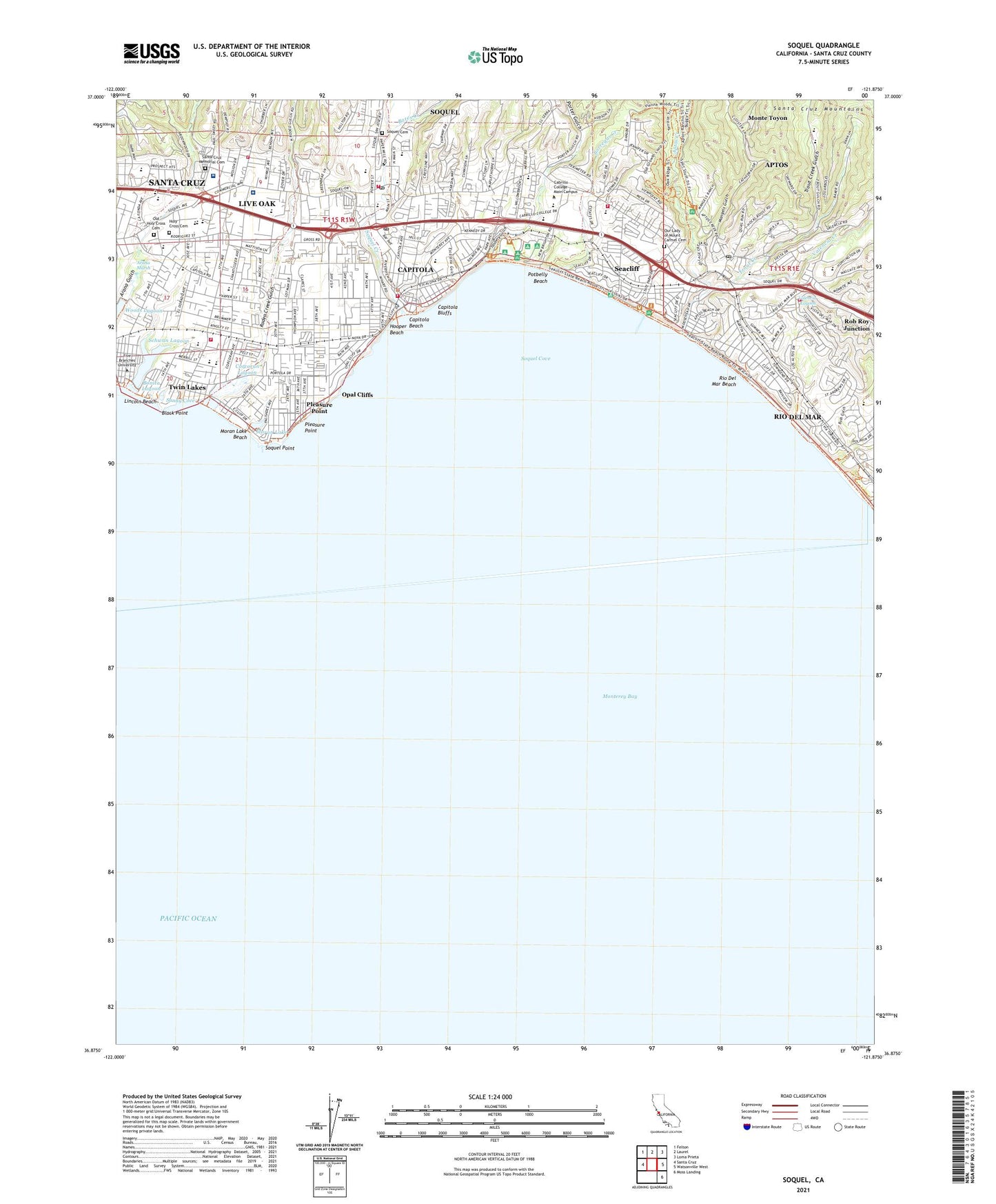
Soquel California US Topo Map
Couldn't load pickup availability
2021 topographic map quadrangle Soquel in the state of California. Scale: 1:24000. Based on the newly updated USGS 7.5' US Topo map series, this map is in the following counties: Santa Cruz. The map contains contour data, water features, and other items you are used to seeing on USGS maps, but also has updated roads and other features. This is the next generation of topographic maps. Printed on high-quality waterproof paper with UV fade-resistant inks.
Quads adjacent to this one:
West: Santa Cruz
Northwest: Felton
North: Laurel
Northeast: Loma Prieta
East: Watsonville West
Southeast: Moss Landing
This map covers the same area as the classic USGS quad with code o36121h8.
Contains the following named places: Advent Christian Church, Advent Christian Conference Center, Aguajita, Alimur Park Mobile Home Park, American Medical Response Ambulance Service Santa Cruz Division, Aptos, Aptos Branch Santa Cruz City-County Library, Aptos Census Designated Place, Aptos Center Shopping Center, Aptos Creek, Aptos Junior High School, Aptos Landing, Aptos Post Office, Aptos Rancho, Aptos Sea Scape Golf Course, Aptos Station, Aptos Village Park, Arana Gulch, Arana Marsh, Arroyo Del Rodeo, Asbestos Victims of America Library, Bargetto Winery, Bates Creek, Bell Harbor Mobile Home Park, Black Point, Bonita Lagoon, Borregas Creek, Brommer Park, Brookvale Terrace Mobile Home Park, Brown Bulb Ranch Shopping Center, Buggy Trail, Bush Gulch, Cabrillo Assembly of God Church, Cabrillo College Main Campus, Cabrillo Mobile Home Park, Camp McQuaide, Camp San Jose, Capitola, Capitola Airport, Capitola Beach, Capitola Bluffs, Capitola Chamber of Commerce, Capitola City Hall, Capitola Elementary School, Capitola Fishing Wharf, Capitola Mall Shopping Center, Capitola Police Department, Capitola Post Office, Carden School of Santa Cruz, Castle Mobile Estates, Central Fire Protection District, Central Fire Protection District of Santa Cruz County Station 1 - Live Oak, Central Fire Protection District Station 2 - Thurber Lane, Central Fire Protection District Station 3 - Soquel, Central Fire Protection District Station 4 - Capitola, Central Fire Protection District Station 6, Chaminade School, City of Capitola, Cliftwood Mobile Home Park, Coffee Lane Park, Community Church of God, Congregational Church of Soquel, Corcoran Lagoon, Country Villa Estates Mobile Home Park, Cypress Charter High School, De Laveaga Golf Course, De Laveaga Park, Del Mar Elementary School, Delaveaga Elementary School, Delta Charter High School, Dominican Hospital - Santa Cruz / Soquel, Dominican Santa Cruz Hospital Heliport, East Cliff Village Shopping Center, Escalona Gulch, Faith Chapel, Farley, First Baptist Church, First Baptist Church of Capitola, First Church of Christ Scientist, Five Branches University, Fourtyfirst Avenue County Park, Good Shepherd Catholic School, Grace Community Church of Capitola, Green Acres Elementary School, Harbor High School, Harbor Light Gospel Tabernacle, Holy Cross Cemetery, Hooper Beach, Jade Street Park, Kings Plaza Shopping Center, KLAU-AM (Capitola), KSCO-AM (Santa Cruz), La Capitola Plaza Shopping Center, Liberty Baptist Church, Light and Life Community Free Church, Lighthouse Christian Fellowship Four Square Gospel Church, Lincoln Beach, Lions Park, Live Oak, Live Oak Census Designated Place, Live Oak Elementary School, Live Oak United Methodist Church, Loma Prieta High School, Loma Vista Mobile Home Park, Main Street Elementary School, Mangels Gulch, Mar Vista Elementary School, Monte Toyon, Monte Toyon Conference Grounds, Moran Lake, Moran Lake Beach, Moran Lake Park, New Brighton, New Brighton Middle School, New Brighton State Beach, New Brighton State Beach Park Headquarters, Ocean Breeze Mobile Home Park, Old Holy Cross Cemetery, Old Mill Park Mobile Home Park, Old Riverview Historic District, Opal Cliff Park Mobile Home Park, Opal Cliffs, Opal Cliffs Drive Overlook, Orchard Lane Mobile Home Park, Orchard School, Our Lady of Mount Carmel Catholic Church, Our Lady of Mount Carmel Cemetery, Pacheo Picnic Grounds, Pacific Christian Fellowship Church, Perry Park, Pleasure Point, Pleasure Point Beach County Park, Pleasure Point Census Designated Place, Porter Gulch, Porter Memorial Library, Potbelly Beach, Pringle Grove, Rancho Del Mar Shopping Center, Reorganized Church of Jesus Christ of Latter Day Saints, Rio Del Mar, Rio Del Mar Beach, Rio del Mar Census Designated Place, Rio Del Mar Elementary School, Robert E Swenson Library, Rockview Drive County Park, Rodeo Creek Gulch, Saint John the Baptist Episcopal Church, Saint Josephs Catholic Church, Saint Stephens Lutheran Church, Salesian College, Santa Cruz Assembly of God Church, Santa Cruz County Office of Education - Special Education, Santa Cruz Division, Santa Cruz Memorial Cemetery, Santa Cruz Montessori School Main Campus, Schwan Lagoon, Seacliff, Seacliff Census Designated Place, Seacliff State Beach, Seascape Village Shopping Center, Shadowbrook Shopping Center, Shangri La Estates, Shoquel, Shoreline Middle School, Six Sisters-Lawn Way Historic District, Skyview Drive-In, Snug Harbor Mobile Home Park, Soquel, Soquel Cemetery, Soquel Census Designated Place, Soquel Congregational Church, Soquel Cove, Soquel Creek, Soquel Elementary School, Soquel High School, Soquel Landing, Soquel Point, Soquel Post Office, Sunny Cove, Sunny Cove Beach County Park, Surf and Sand Mobile Home Park, Sutter Maternity and Surgery Center of Santa Cruz, Tannery Gulch, Terrace Trail, The Forest of Nisene Marks State Park, Thirteenth Avenue County Park, Tierra Pacific Charter School, Tony Ziro Mobile Living Mobile Home Park, Tradewinds Mobile Home Park, Trailer Haven, Trout Creek, Trout Creek Gulch, Twelfth Avenue County Park, Twentyfirst Avenue County Park, Twin Lakes, Twin Lakes Census Designated Place, Twin Lakes Christian School, Twin Lakes State Beach, Union School, Upper Village Shopping Center, Valencia Creek, Valencia Elementary School, Valencia Lagoon, VHM Christian School, Victory Faith Center, Westminster Presbyterian Church, ZIP Codes: 95010, 95062


