MyTopo
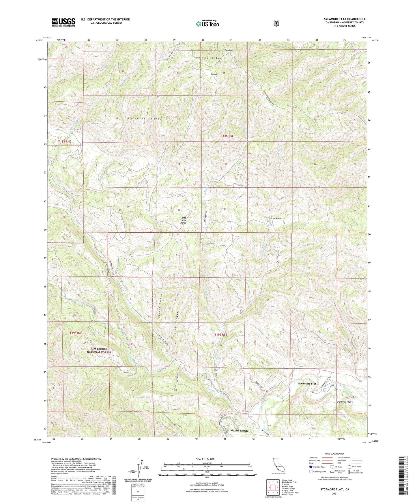
Sycamore Flat California US Topo Map
Couldn't load pickup availability
Also explore the Sycamore Flat Forest Service Topo of this same quad for updated USFS data
2021 topographic map quadrangle Sycamore Flat in the state of California. Scale: 1:24000. Based on the newly updated USGS 7.5' US Topo map series, this map is in the following counties: Monterey. The map contains contour data, water features, and other items you are used to seeing on USGS maps, but also has updated roads and other features. This is the next generation of topographic maps. Printed on high-quality waterproof paper with UV fade-resistant inks.
Quads adjacent to this one:
West: Chews Ridge
Northwest: Rana Creek
North: Palo Escrito Peak
Northeast: Soledad
East: Paraiso Springs
Southeast: Reliz Canyon
South: Junipero Serra Peak
Southwest: Zigzag Creek
This map covers the same area as the classic USGS quad with code o36121c4.
Contains the following named places: Basin Creek, Big Sand Creek, Calaboose Creek, Corral Canyon, Ell Peak, Fritch Ranch, George Ranch, Grandmas Flat, Hermits Cabin, Hicks Ranch, Horse Canyon, Horse Creek, Little Sand Creek, Long Canyon, Lower Piney Creek Campground, Millers Ranch, Paloma Creek, Paloma Creek School, Paloma Ridge, Piney Creek, Piney Creek Campground, Purd Camp, Rio Alto Gun Club, Sand Creek, Soledad Division, Sycamore Flat, Tash Creek, The Basin, The Dry Lake, Twin Peaks