MyTopo
Tylerhorse Canyon California US Topo Map
Couldn't load pickup availability
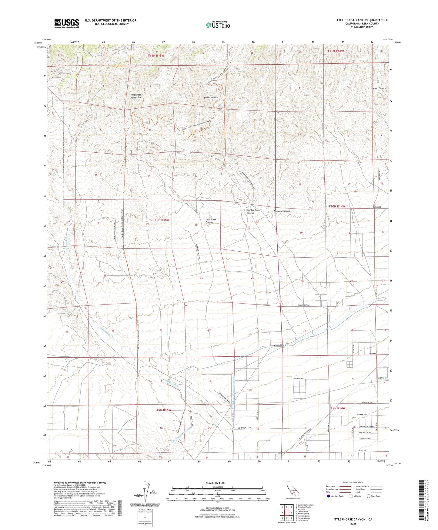
2021 topographic map quadrangle Tylerhorse Canyon in the state of California. Scale: 1:24000. Based on the newly updated USGS 7.5' US Topo map series, this map is in the following counties: Kern. The map contains contour data, water features, and other items you are used to seeing on USGS maps, but also has updated roads and other features. This is the next generation of topographic maps. Printed on high-quality waterproof paper with UV fade-resistant inks.
Quads adjacent to this one:
West: Liebre Twins
Northwest: Cummings Mountain
North: Tehachapi South
Northeast: Monolith
East: Willow Springs
Southeast: Little Buttes
South: Fairmont Butte
Southwest: Neenach School
This map covers the same area as the classic USGS quad with code o34118h4.
Contains the following named places: Burham Canyon, Gamble Spring Canyon, Tylerhorse Canyon, West Antelope Station, White Oak Lodge Landing Field