MyTopo
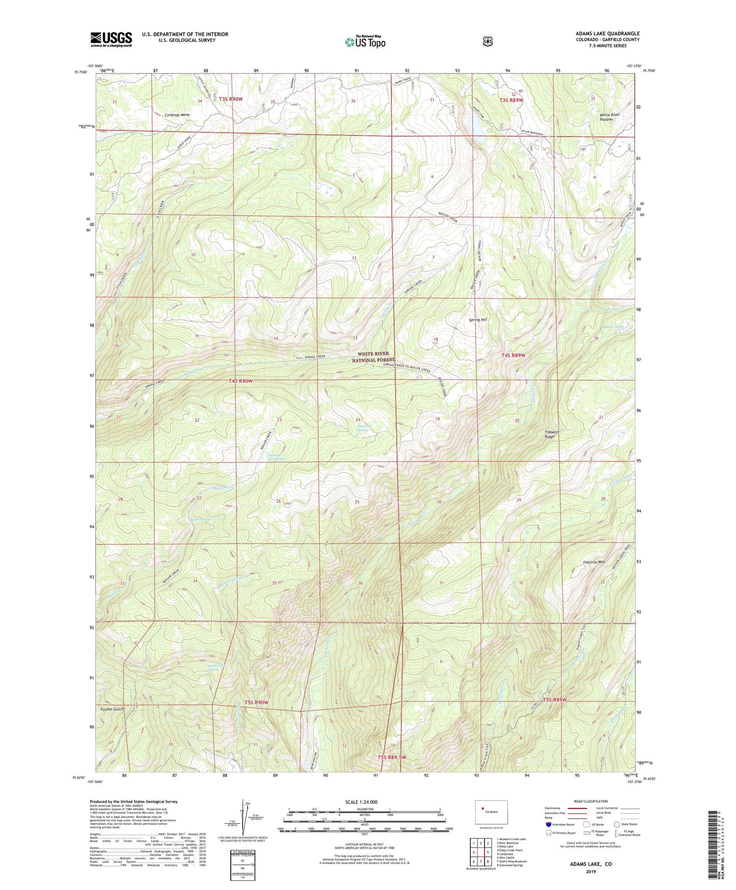
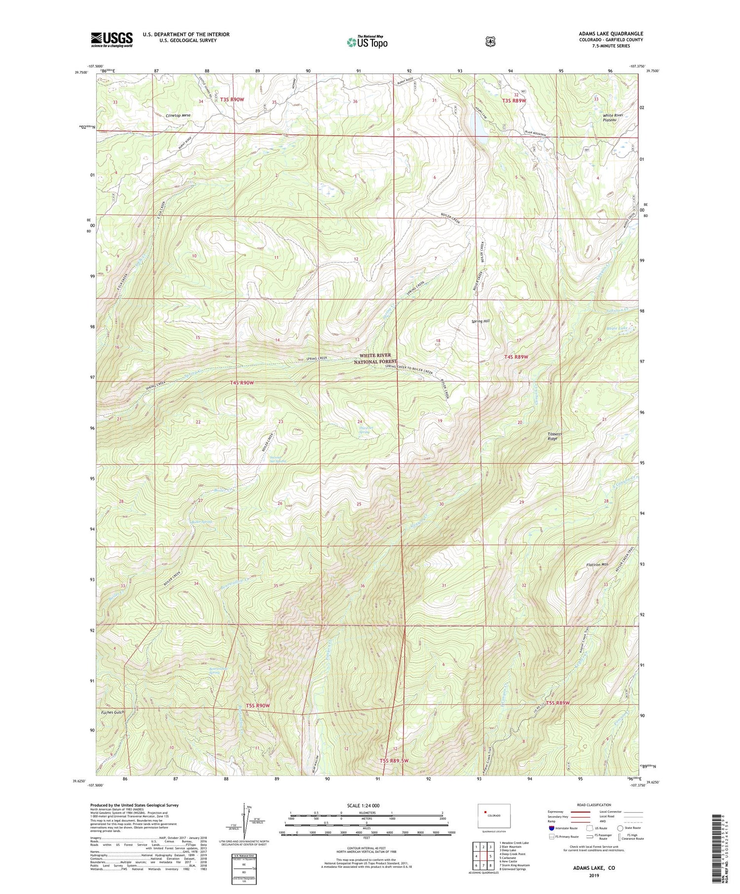
Adams Lake Colorado US Topo Map
Couldn't load pickup availability
Also explore the Adams Lake Forest Service Topo of this same quad for updated USFS data
2022 topographic map quadrangle Adams Lake in the state of Colorado. Scale: 1:24000. Based on the newly updated USGS 7.5' US Topo map series, this map is in the following counties: Garfield. The map contains contour data, water features, and other items you are used to seeing on USGS maps, but also has updated roads and other features. This is the next generation of topographic maps. Printed on high-quality waterproof paper with UV fade-resistant inks.
Quads adjacent to this one:
West: Deep Creek Point
Northwest: Meadow Creek Lake
North: Blair Mountain
Northeast: Deep Lake
East: Carbonate
Southeast: Glenwood Springs
South: Storm King Mountain
Southwest: New Castle
This map covers the same area as the classic USGS quad with code o39107f4.
Contains the following named places: Adams Lake, Bearwallow Spring, Boiler Spring, Bugle Lake, Flatiron Mountain, Johnson Creek, Keyser Creek, Second Set Spring, Spring Hill, Third Set Spring