MyTopo
Glenwood Springs Colorado US Topo Map
Couldn't load pickup availability
Also explore the Glenwood Springs Forest Service Topo of this same quad for updated USFS data
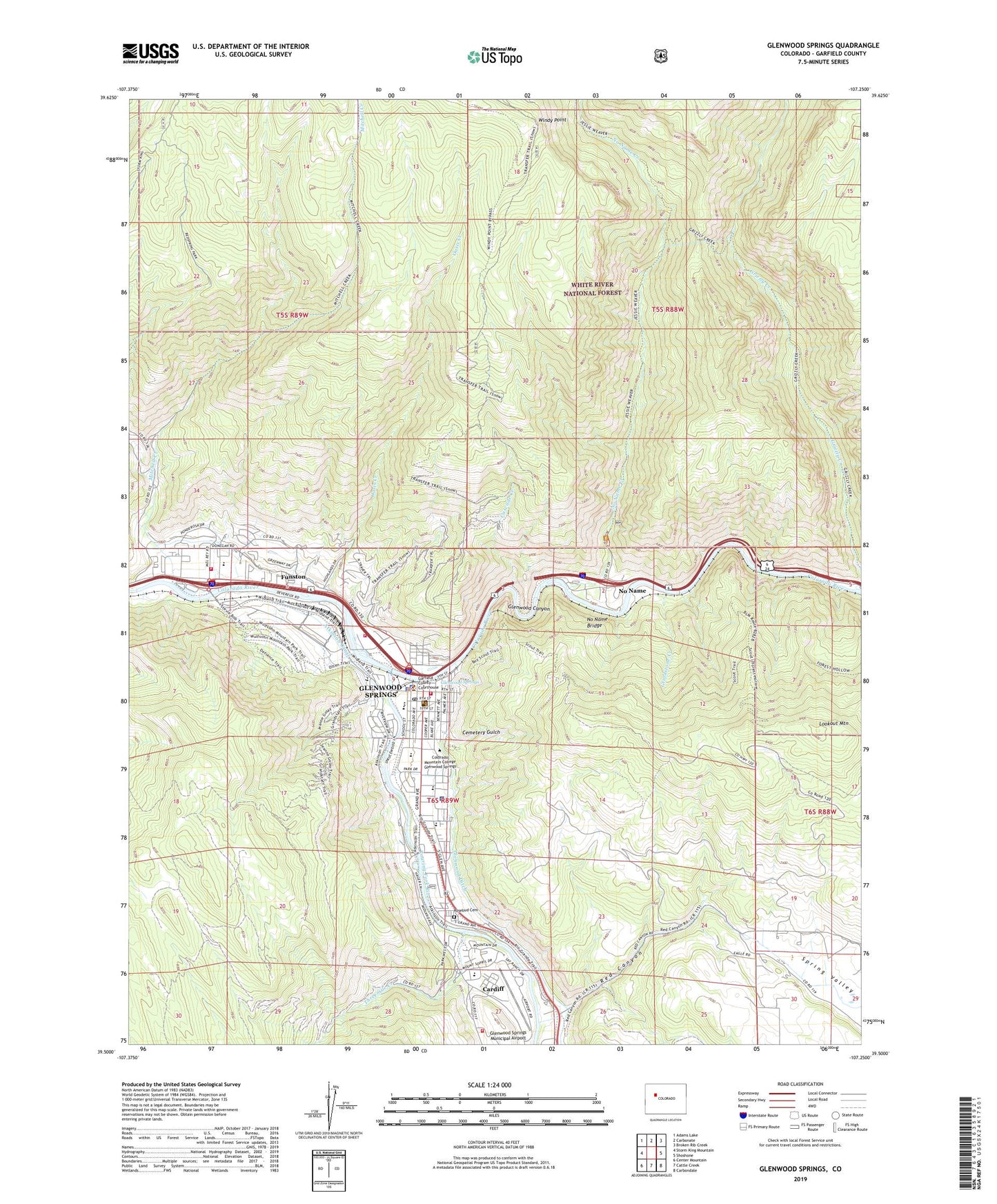
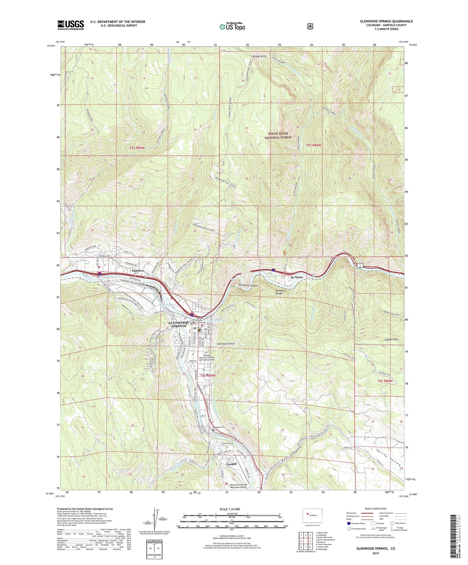
2022 topographic map quadrangle Glenwood Springs in the state of Colorado. Scale: 1:24000. Based on the newly updated USGS 7.5' US Topo map series, this map is in the following counties: Garfield. The map contains contour data, water features, and other items you are used to seeing on USGS maps, but also has updated roads and other features. This is the next generation of topographic maps. Printed on high-quality waterproof paper with UV fade-resistant inks.
Quads adjacent to this one:
West: Storm King Mountain
Northwest: Adams Lake
North: Carbonate
Northeast: Broken Rib Creek
East: Shoshone
Southeast: Carbondale
South: Cattle Creek
Southwest: Center Mountain
This map covers the same area as the classic USGS quad with code o39107e3.
Contains the following named places: A E Axtell Park, Atkinson Canal, Bolitho Elementary School, Briargate Shopping Center, Cardiff, Cascade Creek, Cemetery Gulch, Centennial Park, Christian Science Society, Church of Christ, Church of Nazarene, City of Glenwood Springs, Colorado Mountain College - Glenwood Center, Colorado State Patrol Troop 4C Glenwood Springs, Dolan Gulch, First Assembly of God, First Presbyterian Church, First United Methodist Church, Frontier Historical Society Museum, Funston, Garfield County Sheriff's Office, Glenwood Canyon, Glenwood Lime Quarry, Glenwood Springs, Glenwood Springs Elementary School, Glenwood Springs Fire Department Station 1, Glenwood Springs Fire Department Station 2, Glenwood Springs Fire Department Station 3, Glenwood Springs Fish Hatchery, Glenwood Springs Garfield County Branch Library, Glenwood Springs Golfcourse, Glenwood Springs High School, Glenwood Springs Mall, Glenwood Springs Middle School, Glenwood Springs Municipal Airport, Glenwood Springs Post Office, Glenwood Springs Town Hall, Glenwood Springs Train Station, Grindstone Creek, Grizzly Creek, Hyland Park, Jammeron Pit, KGLN-AM (Glenwood Springs), KMTS-FM (Glenwood Springs), Lookout Mountain, Lookout Mountain Heliport, Lookout Mountain Park, Marblehead Quarry, Mitchell Creek, No Name, No Name Bridge, No Name Census Designated Place, No Name Creek, Oasis Creek, Red Canyon, Roaring Fork Marketplace, Roaring Fork River, Rosebud Cemetery, Saint Barnabas Episcopal Church, Saint Stephens Catholic Church, Saint Stephen's Catholic School, Sister Lucy Downey Park, Spring Valley, Strong Mine, Threemile Creek, Two Rivers Park, Valley View Hospital, Van Rand Shopping Center, Village Plaza Shopping Center, Visitor Information Center, Windy Point, ZIP Code: 81601


