
MyTopo
Carbonate Colorado US Topo Map
Couldn't load pickup availability
Also explore the Carbonate Forest Service Topo of this same quad for updated USFS data
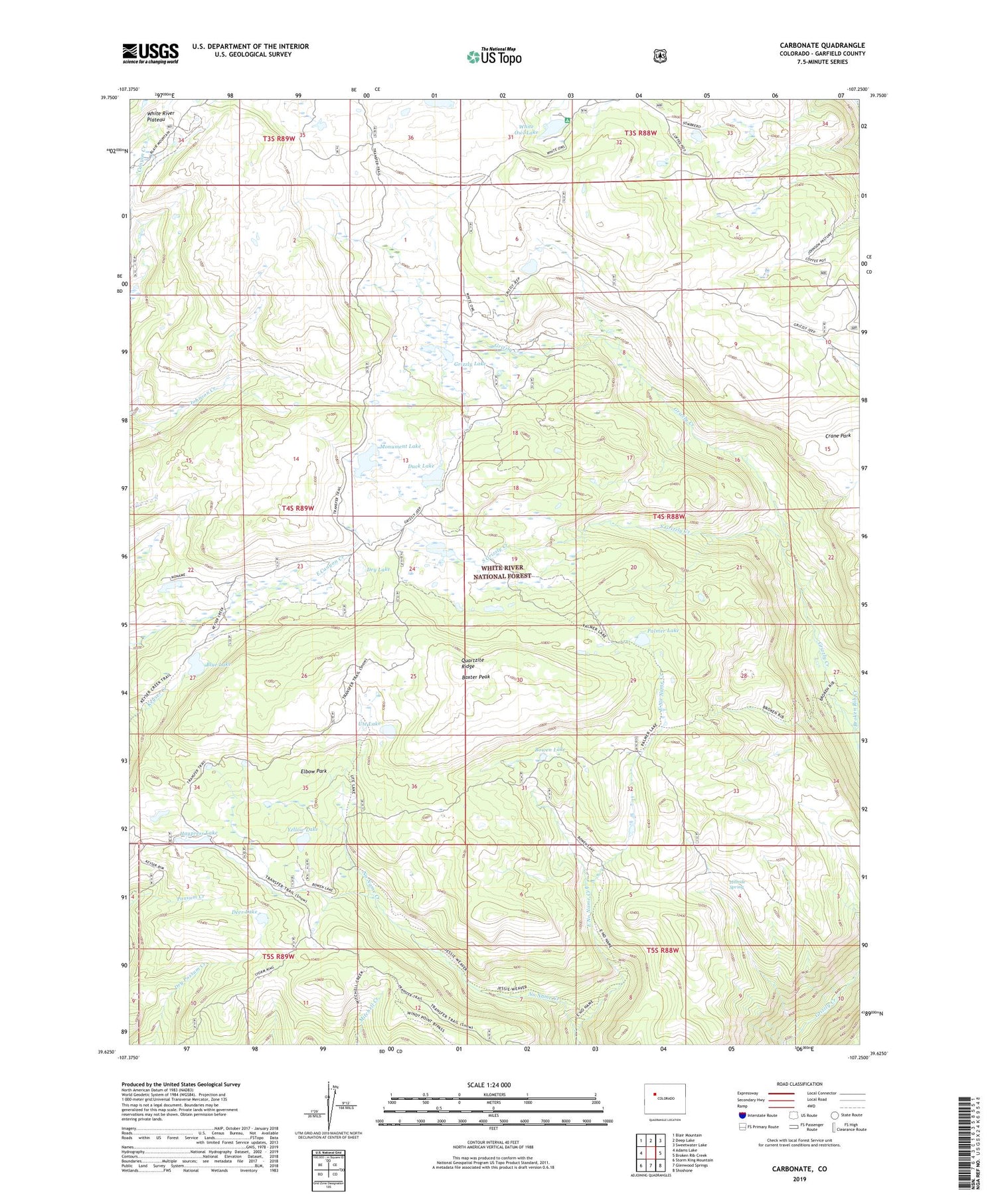
2022 topographic map quadrangle Carbonate in the state of Colorado. Scale: 1:24000. Based on the newly updated USGS 7.5' US Topo map series, this map is in the following counties: Garfield. The map contains contour data, water features, and other items you are used to seeing on USGS maps, but also has updated roads and other features. This is the next generation of topographic maps. Printed on high-quality waterproof paper with UV fade-resistant inks.
Quads adjacent to this one:
West: Adams Lake
Northwest: Blair Mountain
North: Deep Lake
Northeast: Sweetwater Lake
East: Broken Rib Creek
Southeast: Shoshone
South: Glenwood Springs
Southwest: Storm King Mountain
This map covers the same area as the classic USGS quad with code o39107f3.
Contains the following named places: Baxter Peak, Blue Lake, Bowen Lake, Broken Rib Creek, Carbonate, Deer Lake, Dry Lake, Duck Lake, East No Name Creek, Elbow Park, Gallagher Lake, Grizzly Cow Camp, Grizzly Lake, Haypress Lake, Hillside Spring, Hip Roof Camp, Monument Lake, Palmer Lake, Quartzite Ridge, South Grizzly Creek, Supply Basin Dam, Tibbetts Ridge, Town of Carbonate, Ute Lake, White Owl Lake, Yellow Lake


