MyTopo
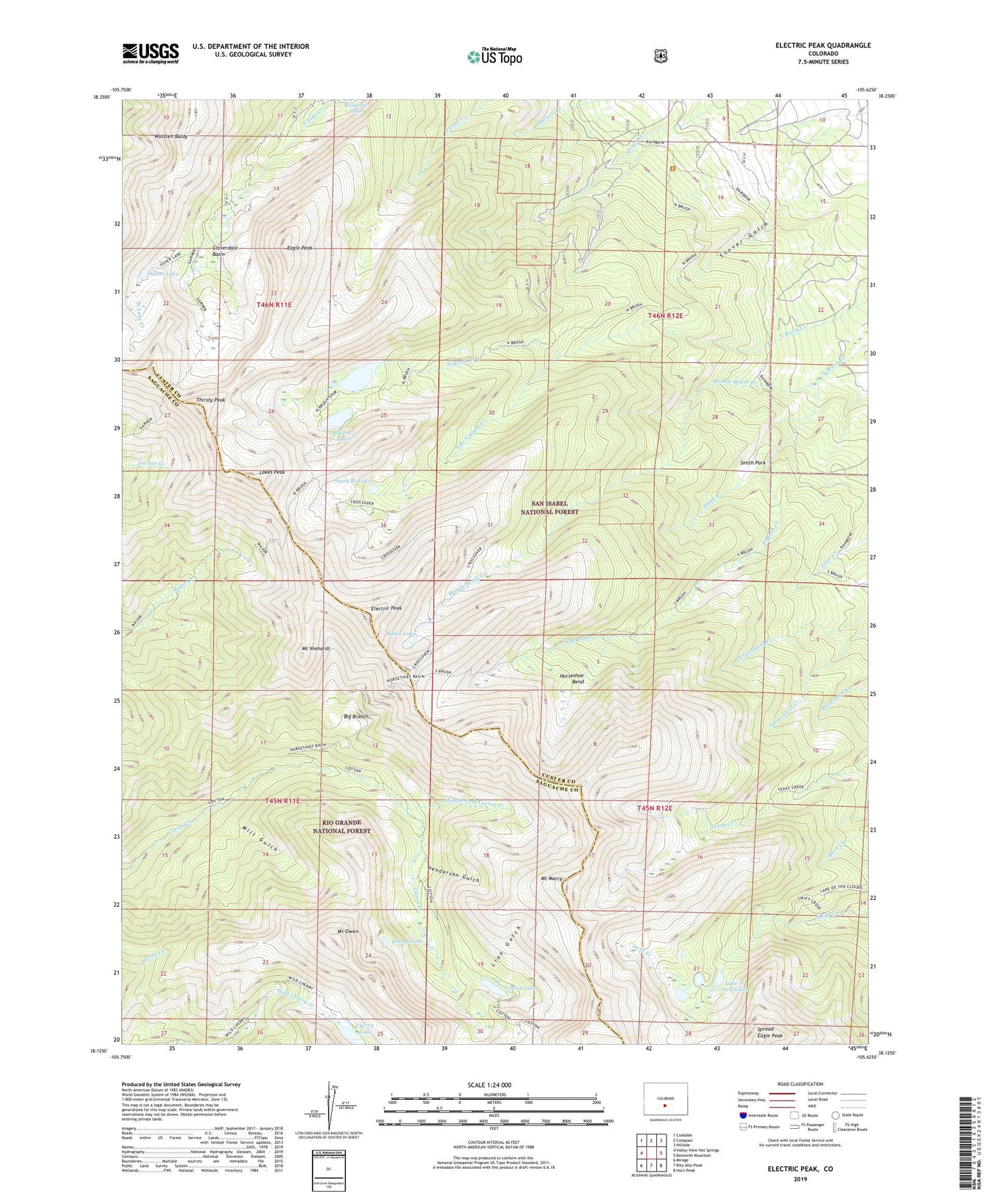
Electric Peak Colorado US Topo Map
Couldn't load pickup availability
Also explore the Electric Peak Forest Service Topo of this same quad for updated USFS data
2022 topographic map quadrangle Electric Peak in the state of Colorado. Scale: 1:24000. Based on the newly updated USGS 7.5' US Topo map series, this map is in the following counties: Custer, Saguache. The map contains contour data, water features, and other items you are used to seeing on USGS maps, but also has updated roads and other features. This is the next generation of topographic maps. Printed on high-quality waterproof paper with UV fade-resistant inks.
Quads adjacent to this one:
West: Valley View Hot Springs
Northwest: Coaldale
North: Cotopaxi
Northeast: Hillside
East: Beckwith Mountain
Southeast: Horn Peak
South: Rito Alto Peak
Southwest: Mirage
This map covers the same area as the classic USGS quad with code o38105b6.
Contains the following named places: Banjo Lake, Big Branch, Big Horn Mine, Brush Creek Lakes, Cherry Lake, Cloverdale Basin, Cloverdale Mine, Cotton Lake, Cotton Trail, Crossover Trail, Eagle Peak, Electric Peak, Henderson Gulch, Horseshoe Bend, Lake of the Clouds, Lake of the Clouds Trail, Lakes Peak, Lion Gulch, Middle Brush Creek, Middle Fork Cotton Creek, Mill Gulch, Mount Marcy, Mount Niehardt, Mount Owen, Rito Alta Mine, Sangre de Cristo Mine, Silver Lake, Smith Creek, Smith Park, South Branch Lake, South Branch North Brush Creek, Spread Eagle Peak, Stacey Claims, Stover Gulch, Teasup Lake, Thirsty Peak, Wulsten Baldy


