MyTopo
Long Mountain Colorado US Topo Map
Couldn't load pickup availability
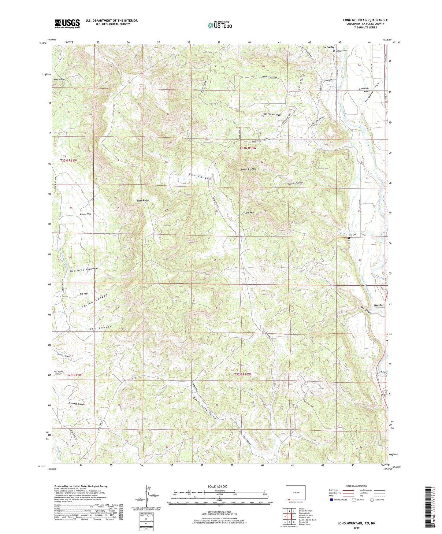
2022 topographic map quadrangle Long Mountain in the state of Colorado. Scale: 1:24000. Based on the newly updated USGS 7.5' US Topo map series, this map is in the following counties: La Plata, San Juan. The map contains contour data, water features, and other items you are used to seeing on USGS maps, but also has updated roads and other features. This is the next generation of topographic maps. Printed on high-quality waterproof paper with UV fade-resistant inks.
Quads adjacent to this one:
West: Pinkerton Mesa
Northwest: Kline
North: Basin Mountain
Northeast: Loma Linda
East: Bondad Hill
Southeast: Mount Nebo
South: Cedar Hill
Southwest: Adobe Downs Ranch
Contains the following named places: Big Flat, Bondad, Citizens Animas Ditch, Cottonwood Canyon, Deer Canyon, Elco Cemetery, High Flume Canyon, La Posta Canyon, La Posta Cemetery, Long Canyon, Long Mountain, Mitchell Canyon, Picnic Flat, Picnic Flat School, Poison Canyon, Round Top, Round Top Mountain, Trumble Draw, Twin Crossing, Walter Canyon, ZIP Code: 81303