MyTopo
Mount Nebo New Mexico US Topo Map
Couldn't load pickup availability
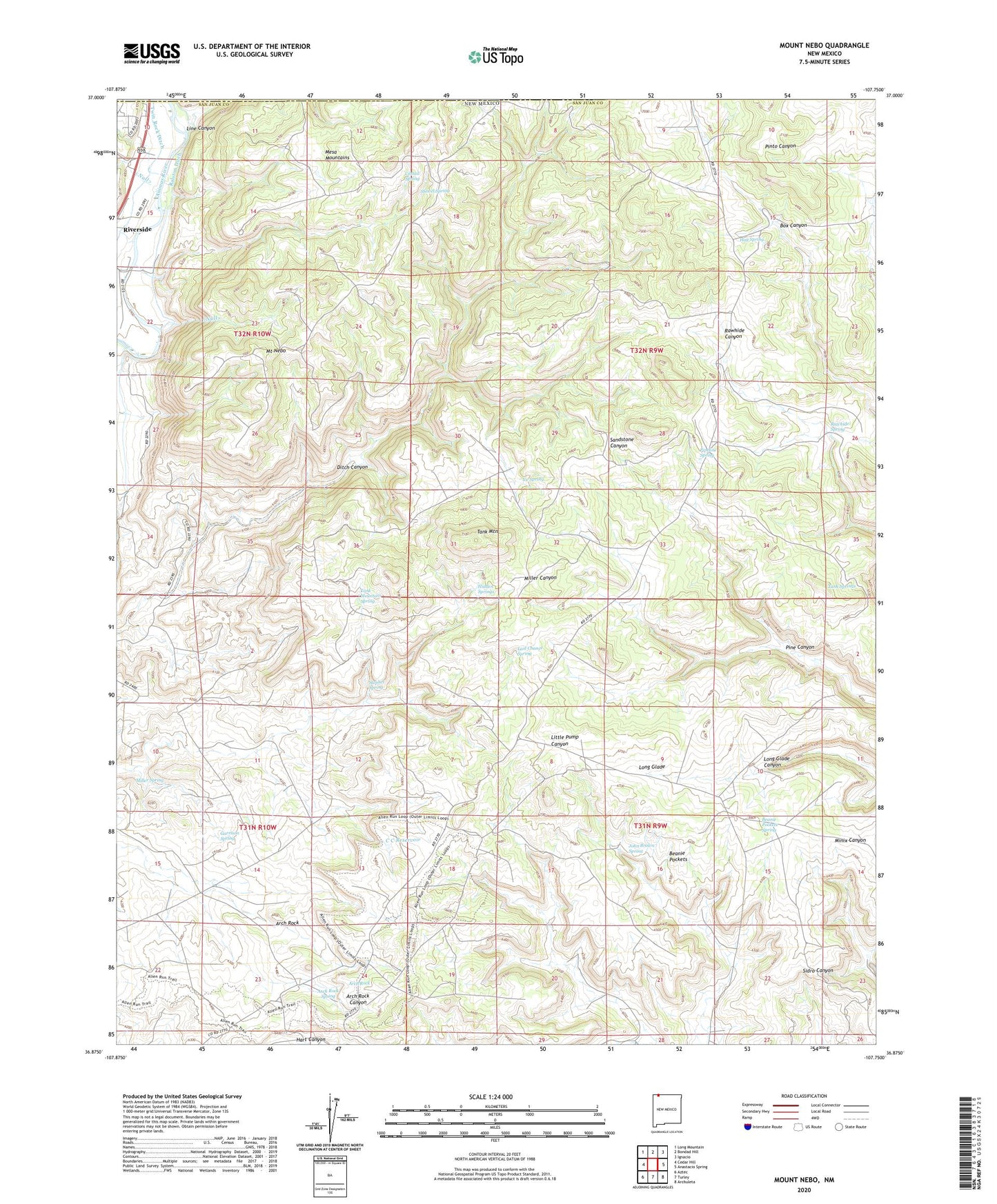
2023 topographic map quadrangle Mount Nebo in the state of New Mexico. Scale: 1:24000. Based on the newly updated USGS 7.5' US Topo map series, this map is in the following counties: San Juan. The map contains contour data, water features, and other items you are used to seeing on USGS maps, but also has updated roads and other features. This is the next generation of topographic maps. Printed on high-quality waterproof paper with UV fade-resistant inks.
Quads adjacent to this one:
West: Cedar Hill
Northwest: Long Mountain
North: Bondad Hill
Northeast: Ignacio
East: Anastacio Spring
Southeast: Archuleta
South: Turley
Southwest: Aztec
This map covers the same area as the classic USGS quad with code o36107h7.
Contains the following named places: Arch Rock, Arch Rock Spring, Beanie Pockets, Beanie Pockets Spring, C C Reservoir, Cabin Canyon, Cattail Spring, Garrison Spring, Hidden Springs, Hog Spring, Ice Spring, John Brown Spring, Last Chance Spring, Line Canyon, Long Glade, Mesa Mountains, Miller Spring, Mount Nebo, Pine Canyon, Pipeline Spring, Ralston Ditch, Rawhide Spring, Shovel Spring, Stephel Spring, Tank Mountain, Tank Mountain Spring, Tank Springs, Twin Rock Ditch