MyTopo
Plug Hat Rock Colorado US Topo Map
Couldn't load pickup availability
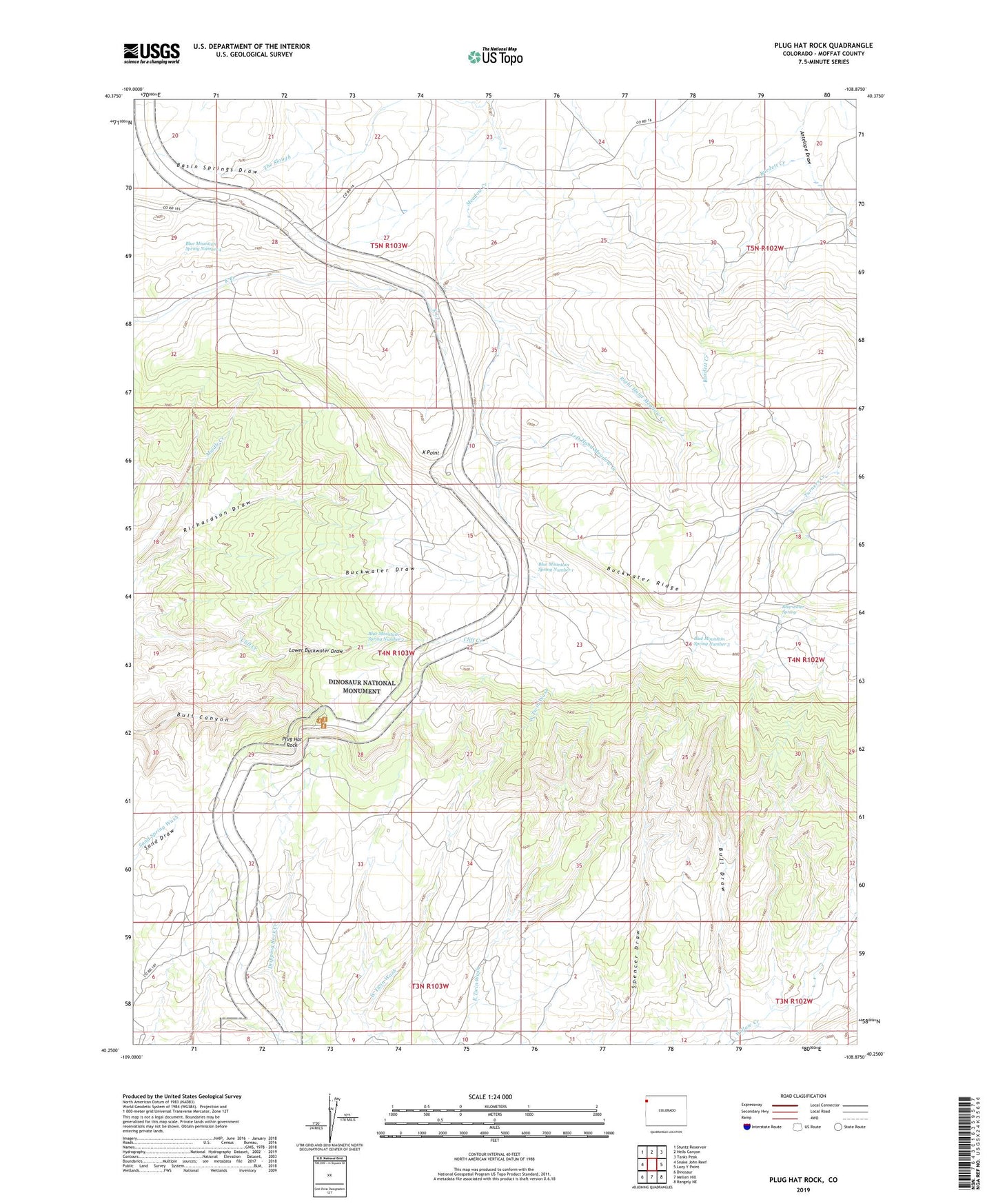
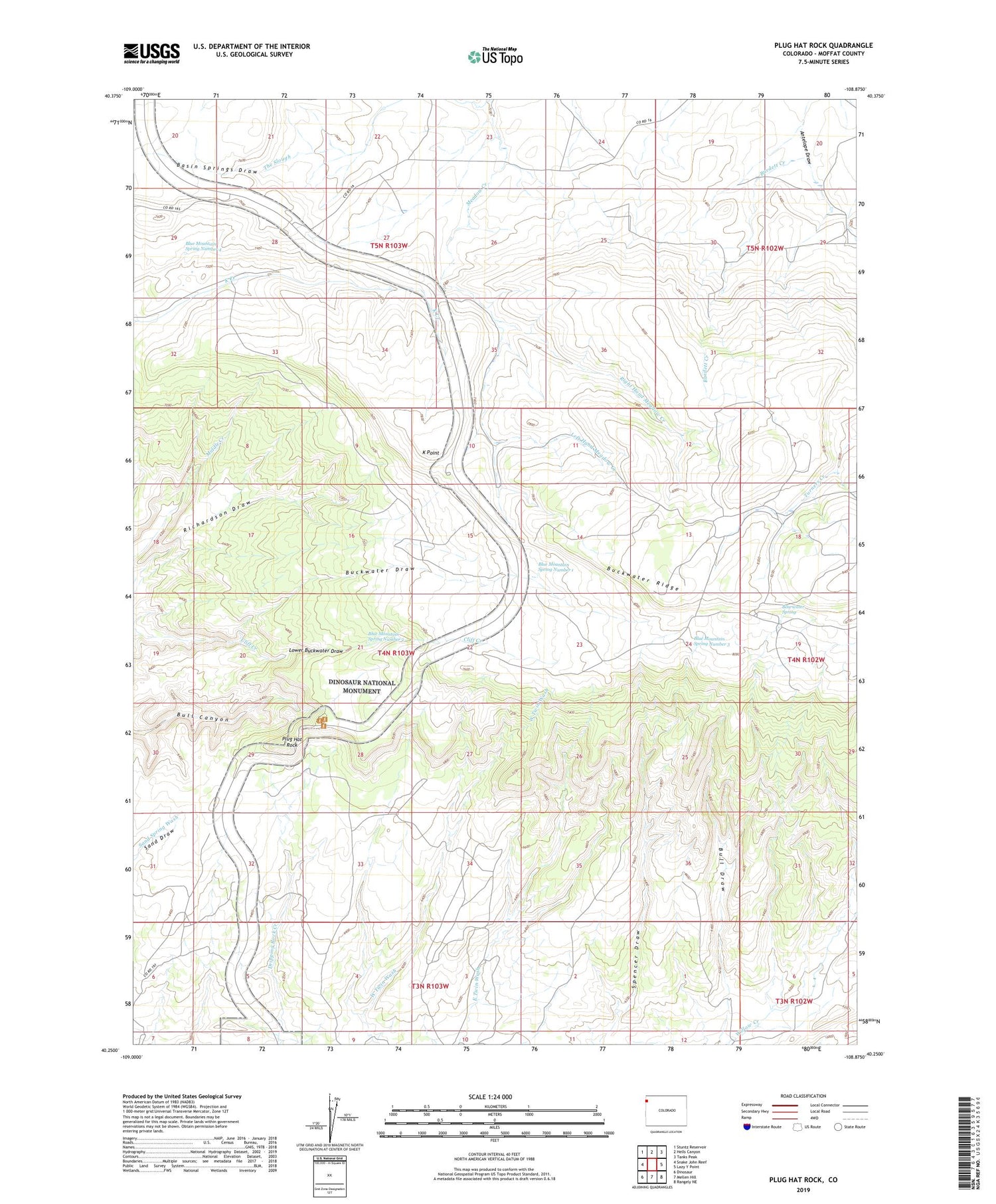
2022 topographic map quadrangle Plug Hat Rock in the state of Colorado. Scale: 1:24000. Based on the newly updated USGS 7.5' US Topo map series, this map is in the following counties: Moffat. The map contains contour data, water features, and other items you are used to seeing on USGS maps, but also has updated roads and other features. This is the next generation of topographic maps. Printed on high-quality waterproof paper with UV fade-resistant inks.
Quads adjacent to this one:
West: Snake John Reef
Northwest: Stuntz Reservoir
North: Hells Canyon
Northeast: Tanks Peak
East: Lazy Y Point
Southeast: Rangely NE
South: Mellen Hill
Southwest: Dinosaur
This map covers the same area as the classic USGS quad with code o40108c8.
Contains the following named places: Antelope Springs Camp, Bearwater Spring, Blue Mountain Spring Number 1, Blue Mountain Spring Number 2, Blue Mountain Spring Number 3, Blue Mountain Spring Number 4, Buckwater Ridge, Escalante Overlook, Fletcher Cabin, Gadd Cabin, Haslem Cabin, K Point, Left Hand Meadow Creek, Lower Buckwater Draw, Meadow Creek, Morgan Cabin, Plug Hat Picnic Area, Plug Hat Rock, Right Hand Meadow Creek