MyTopo
Hells Canyon Colorado US Topo Map
Couldn't load pickup availability
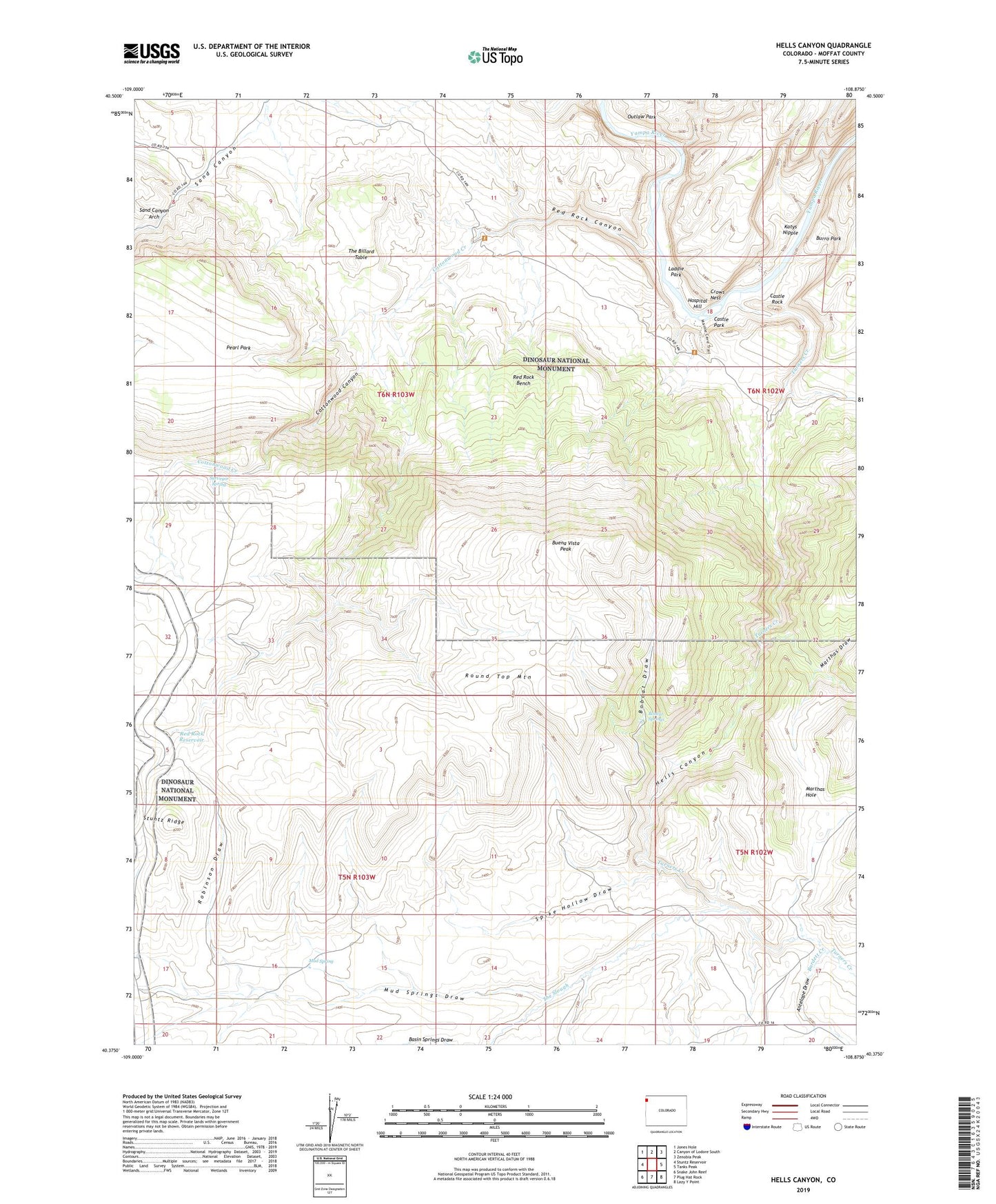
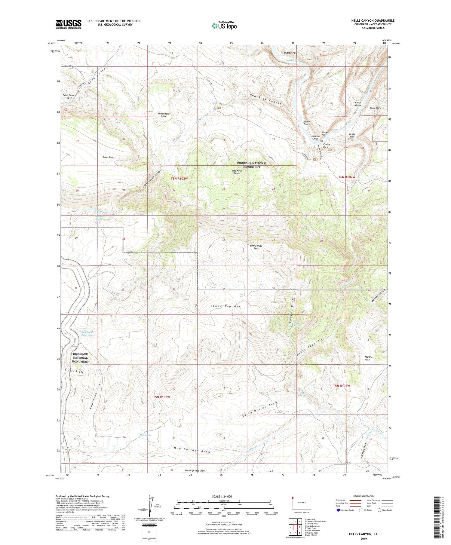
2022 topographic map quadrangle Hells Canyon in the state of Colorado. Scale: 1:24000. Based on the newly updated USGS 7.5' US Topo map series, this map is in the following counties: Moffat. The map contains contour data, water features, and other items you are used to seeing on USGS maps, but also has updated roads and other features. This is the next generation of topographic maps. Printed on high-quality waterproof paper with UV fade-resistant inks.
Quads adjacent to this one:
West: Stuntz Reservoir
Northwest: Jones Hole
North: Canyon of Lodore South
Northeast: Zenobia Peak
East: Tanks Peak
Southeast: Lazy Y Point
South: Plug Hat Rock
Southwest: Snake John Reef
This map covers the same area as the classic USGS quad with code o40108d8.
Contains the following named places: Antelope Draw, Basin Springs Draw, Bobcat Draw, Bobcat Springs, Buena Vista Peak, Burdett Creek, Burro Park, Caldwell Place, Castle Park, Castle Rock, Cottonwood Canyon, Cottonwood Creek, Crows Nest, Donald Wall Place, Fred Wall Place, Hells Canyon, Hospital Hill, Katys Nipple, Laddie Park, Mantle Ranch, Mantle School, Mantle Summer Camp, Marthas Draw, Mud Spring, Mud Springs Draw, Pearl Park, Red Rock Bench, Red Rock Canyon, Red Rock Ranch, Red Rock Reservoir, Robinson Draw, Robinson Place, Round Top Lookout, Round Top Mountain, Sand Canyon Arch, Spike Hollow Draw, Surveyor Spring, The Billard Table, The Slough, Turners Creek