MyTopo
Snake John Reef Utah US Topo Map
Couldn't load pickup availability
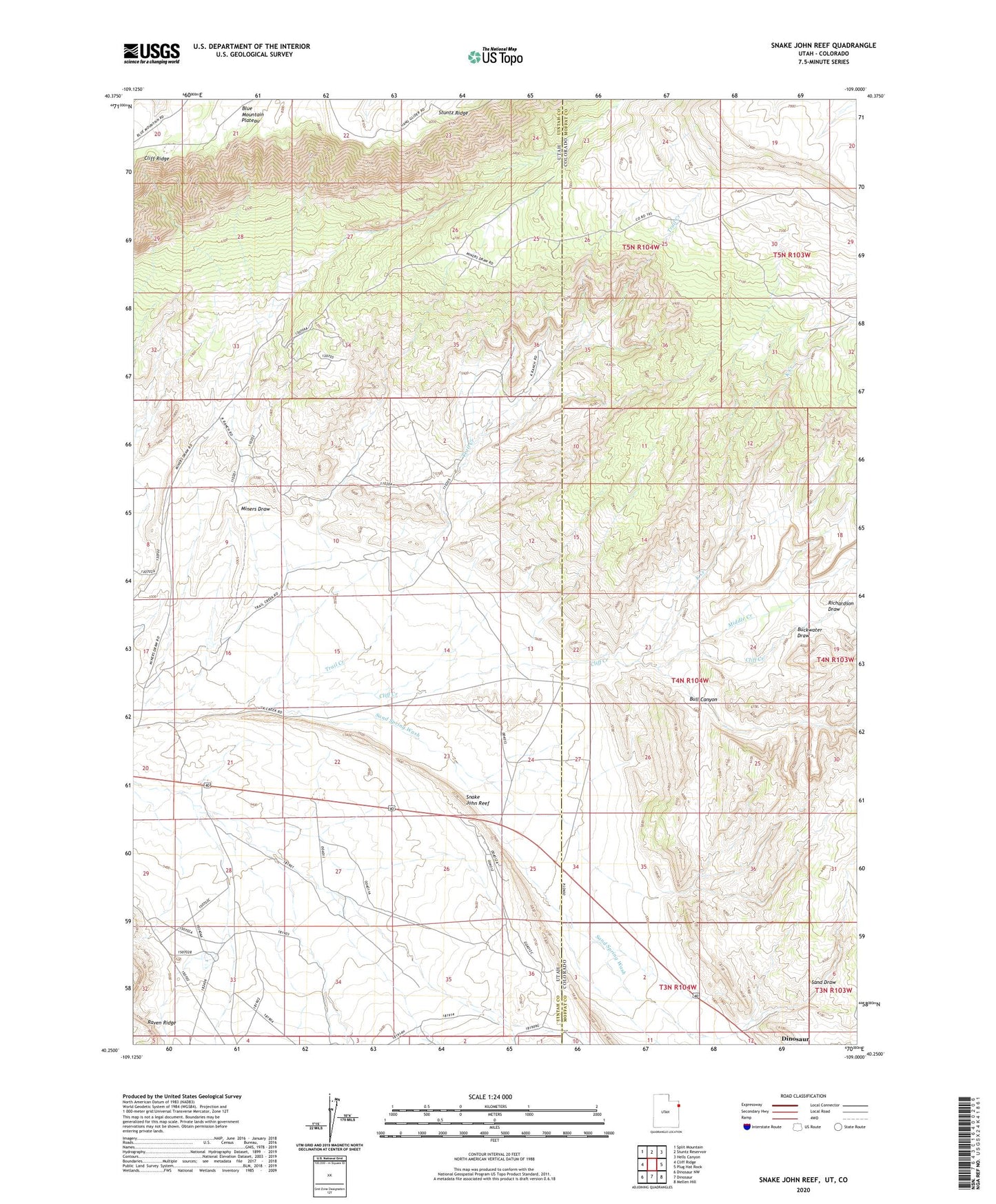
2023 topographic map quadrangle Snake John Reef in the states of Utah, Colorado. Scale: 1:24000. Based on the newly updated USGS 7.5' US Topo map series, this map is in the following counties: Uintah, Moffat. The map contains contour data, water features, and other items you are used to seeing on USGS maps, but also has updated roads and other features. This is the next generation of topographic maps. Printed on high-quality waterproof paper with UV fade-resistant inks.
Quads adjacent to this one:
West: Cliff Ridge
Northwest: Split Mountain
North: Stuntz Reservoir
Northeast: Hells Canyon
East: Plug Hat Rock
Southeast: Mellen Hill
South: Dinosaur
Southwest: Dinosaur NW
This map covers the same area as the classic USGS quad with code o40109c1.
Contains the following named places: Buckwater Draw, Bull Canyon, Jensen Cabin, K Creek, K Ranch, Middle Creek, Miners Draw, Point of Pines Recreation Site, Richardson Draw, Sand Draw, Sand Spring Wash, Snake John Reef, Trail Creek