MyTopo
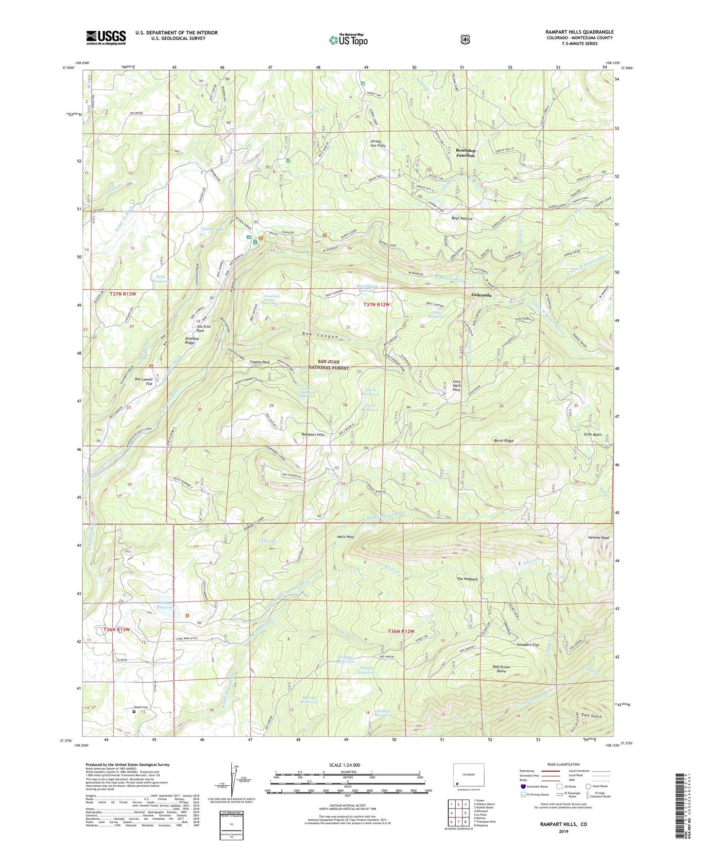
Rampart Hills Colorado US Topo Map
Couldn't load pickup availability
Also explore the Rampart Hills Forest Service Topo of this same quad for updated USFS data
2022 topographic map quadrangle Rampart Hills in the state of Colorado. Scale: 1:24000. Based on the newly updated USGS 7.5' US Topo map series, this map is in the following counties: Montezuma. The map contains contour data, water features, and other items you are used to seeing on USGS maps, but also has updated roads and other features. This is the next generation of topographic maps. Printed on high-quality waterproof paper with UV fade-resistant inks.
Quads adjacent to this one:
West: Millwood
Northwest: Stoner
North: Wallace Ranch
Northeast: Orphan Butte
East: La Plata
Southeast: Hesperus
South: Thompson Park
Southwest: Mancos
This map covers the same area as the classic USGS quad with code o37108d2.
Contains the following named places: Airplane Ridge, Aspen Creek, Aspen Guard Station, Barr-Menefee Mine, Bed Rock Placer Mine, Beef Pasture, Belle Placer Mine, Bob Creek, Box Canyon, Box Canyon Reservoir, Burnt Ridge, Chicken Creek Trail, Chicken Lake, Cliff Lake, Coyote Park, Crystal Creek, Crystal Creek Ditch, Deer Lick Creek, Doc Lowell Flat, East Gulch, Echo Basin, Echo Creek, Fall Creek, Fall Creek Mine, Golconda, Golconda Placer, Gold Dollar Mine, Gold Run Creek, Goldorada Claims, Gray Beal Spring, Hells Hole, Helmet Peak, Horse Creek, Jackson Gulch Inlet Canal, Jersey Jim Flats, Jersey Jim Lookout Tower, Joe Ellis Park, Kelly Reservoir, Kentucky Mine, Long Park Ditch, Lucy Halls Park, Mancos View Mine, McCabe Reservoir, Menefee Reservoir, North Fork West Mancos River, North Rampart Spring, Outwest Mine, Rampart Hills, Red Arrow Dome, Red Arrow Mine, Reddert Reservoir, Robbins Reservoir, Roundup Junction, Rowena Tunnel Mine, Rush Creek Reservoir, Schubert Flat, Sheek Cemetery, Sheek Reservoir, Silver Creek, Slate Reservoir, Smith Reservoir, South Fork West Mancos River, Spruce Mill Park, T-Down Park, The Hogback, Thunder Mine, Transfer Campground, Transfer Trail, Tula May Mine, Twin Canyons Claims, Weber Dam, Weber Reservoir, Weber Reservoir Inlet Ditch