MyTopo
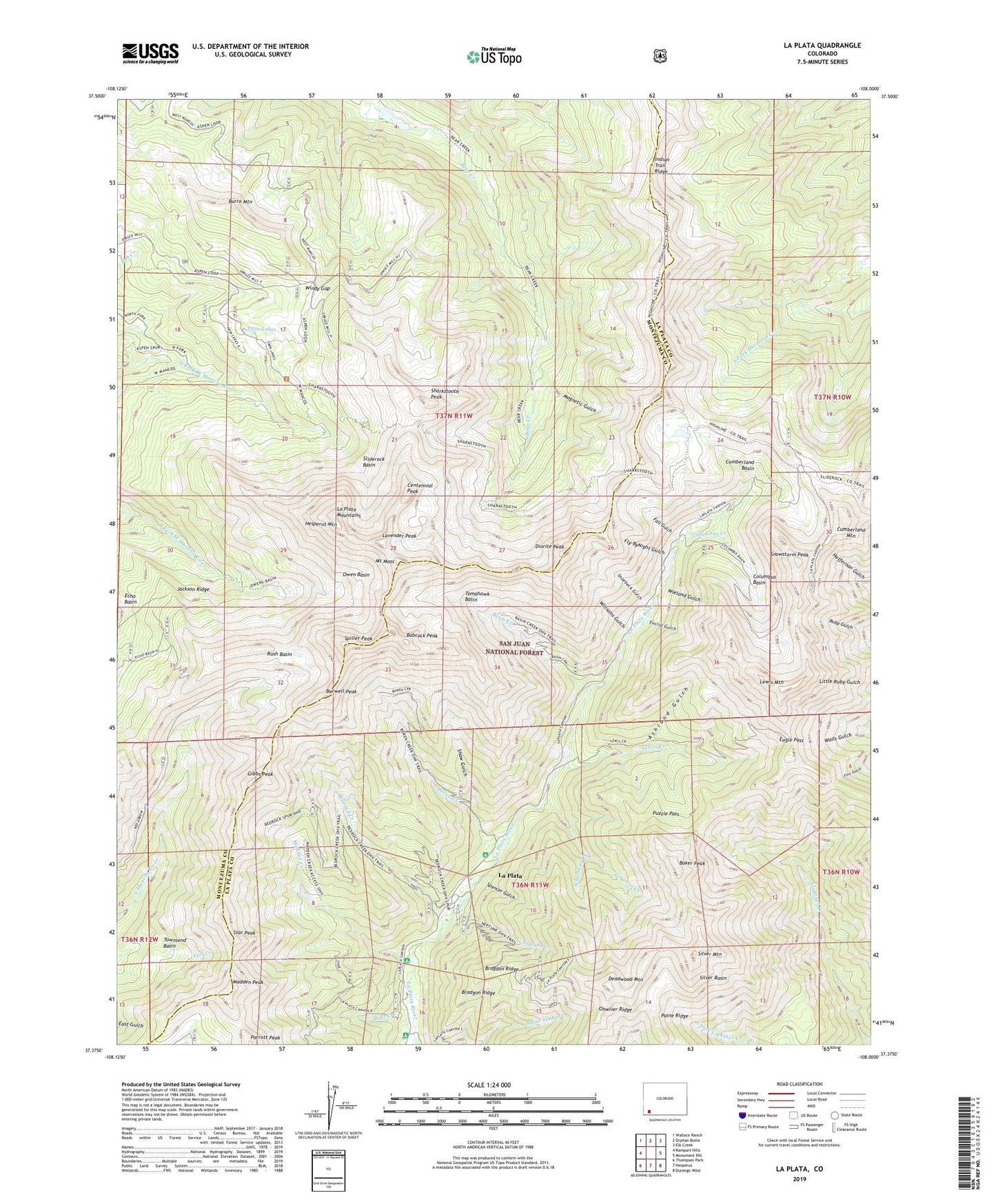
La Plata Colorado US Topo Map
Couldn't load pickup availability
Also explore the La Plata Forest Service Topo of this same quad for updated USFS data
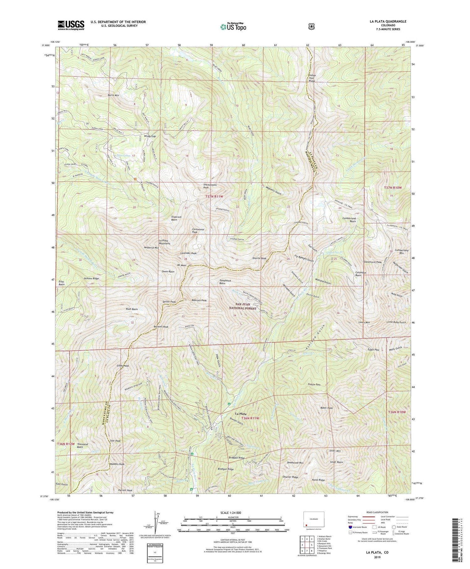
2022 topographic map quadrangle La Plata in the state of Colorado. Scale: 1:24000. Based on the newly updated USGS 7.5' US Topo map series, this map is in the following counties: La Plata, Montezuma. The map contains contour data, water features, and other items you are used to seeing on USGS maps, but also has updated roads and other features. This is the next generation of topographic maps. Printed on high-quality waterproof paper with UV fade-resistant inks.
Quads adjacent to this one:
West: Rampart Hills
Northwest: Wallace Ranch
North: Orphan Butte
Northeast: Elk Creek
East: Monument Hill
Southeast: Durango West
South: Hesperus
Southwest: Thompson Park
This map covers the same area as the classic USGS quad with code o37108d1.
Contains the following named places: Allard Mine, Ashland Gulch, Aurora Mine, Babcock Peak, Baker Peak, Basin Creek, Bedrock Creek, Bessie G Mine, Black Diamond Group Mine, Black Hawk Number One Mine, Bonnie Girl Mine, Boren Creek, Bragdon Ridge, Buffalo-Bristol Claims, Bull-Dover Claims, Burro Mountain, Burwell Peak, Camp Bird Mine, Centennial Peak, Century Mine, Columbus Basin, Columbus Creek, Columbus Mine, Comstock Mine, Copper Age Mine, Copper Hill Mine, Cornstock Mine, Cumberland Basin, Cumberland Mine, Cumberland Mountain, Daisy Mine, Darby Creek, Darby Mine, Deadwood Mountain, Diorite Peak, Doyle Mine, Eagle Pass, Eagle Pass Mine, East Mancos River Placers, Esmeralda Mine, Euclid Gulch, Euclid Mine, Eureka-Bulldozer Mine, Fall Gulch, Fly-ByNight Gulch, Georgia Girl Mine, Gibbs Peak, Gold King Mill, Gold King Mine, Gold Wedge Mine, Golden Rose Mine, Gracie I Fox Mine, Grand View Mine, Grassy Hills Mine, Greenhorn Mine, Ground Hog Tunnel Mine, Hesperus Mountain, Hidden Treasure Mine, Highline Loop Trail, Highline Trail, Honeydew Mine, Indian Trail Ridge, Jackson Ridge, Jennie Lind Mine, Jenny Lind Mine, Jewell Group Mine, Kaibab Mine, Kennebec Pass, Kennebec Trailhead, Kimball Mine, Kroeger Campground, La Plata, La Plata Mine, La Plata Mountains, Lady Stafford Mine, Lavender Peak, Lewis Creek, Lewis Mountain, Little Kate Mine, Lucky Discovery Mine, Lucky Strike Mine, Madden Creek, Madden Peak, Magnetic Gulch, Mars Mine, May Rose Group Mine, Monarch Mine, Montezuma Mine, Moonlight Mine, Mount Moss, Mountain Lily Mine, Muldoon Mine, Neptune Creek, Ohwiler Ridge, Owen Basin, Paine Ridge, Parrott Peak, Peerless Mine, Puzzle Pass, Root Creek, Rosenite Mine, Ruby Mine, Rush Basin, Sadie Mine, Sarah S Mine, Schurman Creek, Sharkstooth Peak, Sharkstooth Trailhead, Shaw Gulch, Shoebeck Gulch, Shoo Fly Mine, Silver Basin, Silver Falls Mine, Silver Mountain, Sliderock Basin, Snowstorm Mine, Snowstorm Peak, Spencer Gulch, Spiller Peak, Star Peak, Sueno de Oro Mine, Surprise Tunnel Mine, Taylor Dam, Taylor Reservoir, Timbrock Mine, Tippecanoe Mine, Tirbircio Creek, Tomahawk Basin, Tomahawk Mine, Townsend Basin, Twin Lakes, Uncle Sam Mine, Victor Mine, Western Belle Mine, White Diamond Tunnel Mine, Wieland Gulch, Williams Gulch, Windy Gap, Wyatt Myers Group Mine, Yellow Eye Mine


