MyTopo
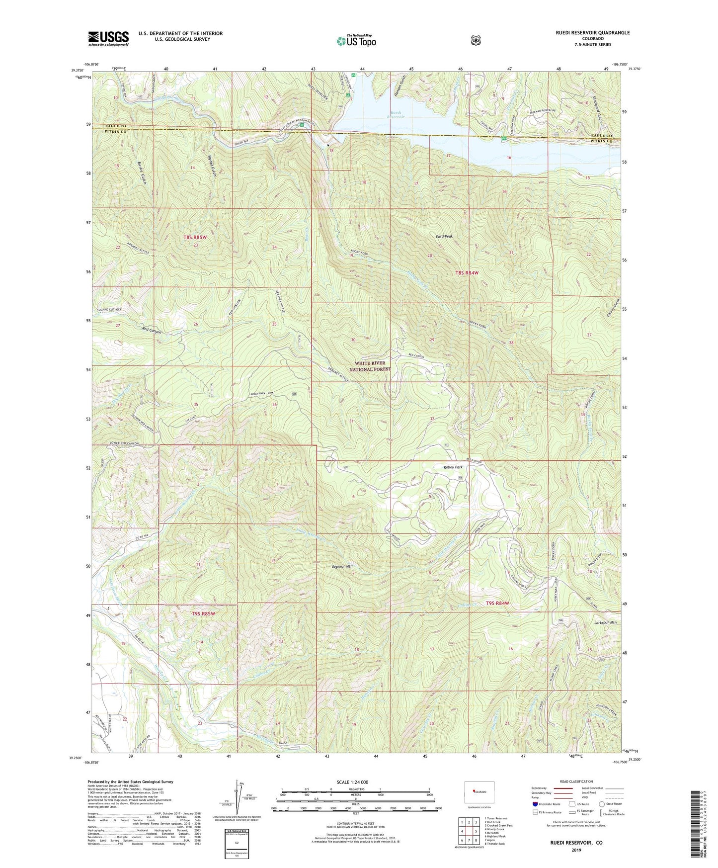
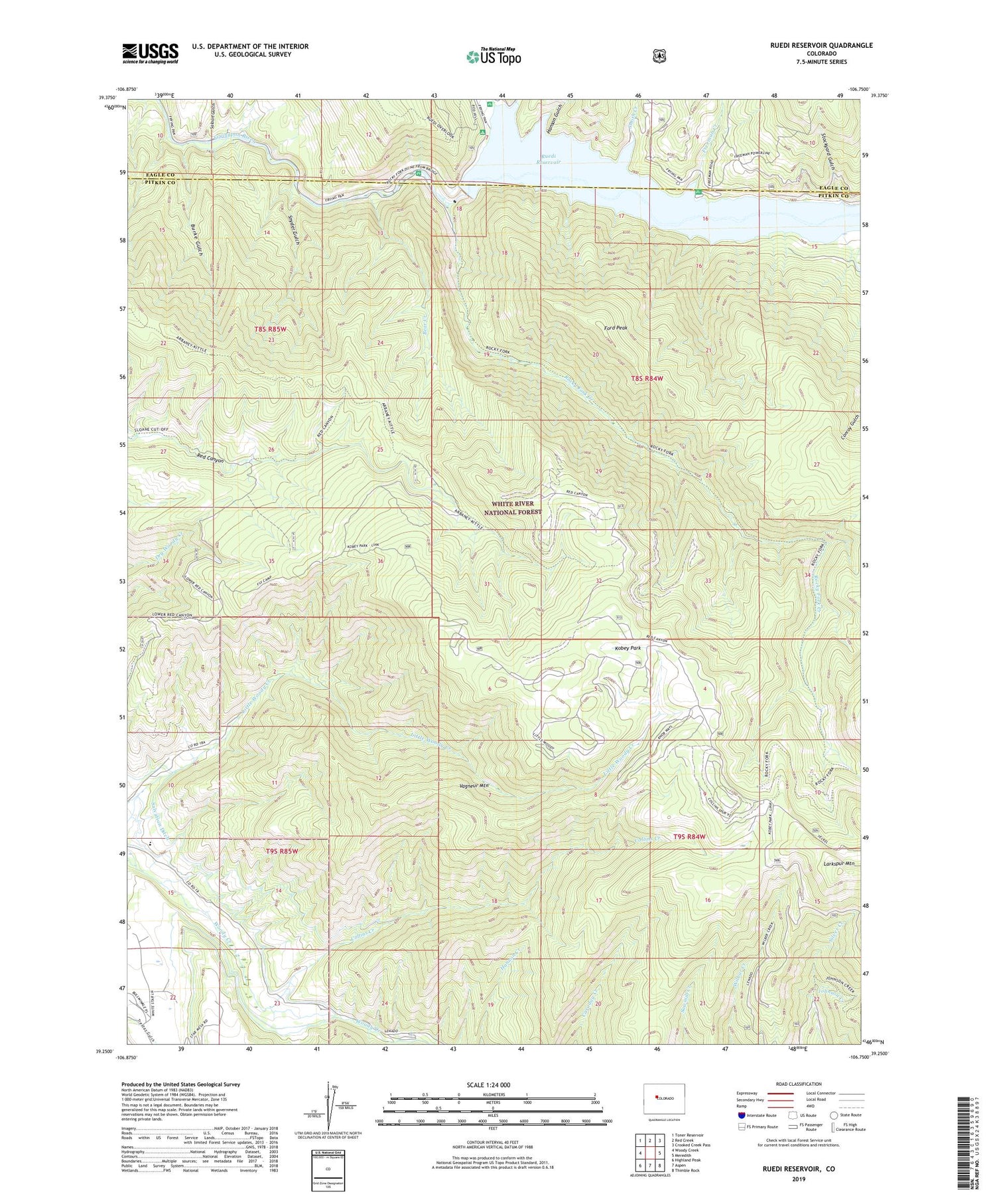
Ruedi Reservoir Colorado US Topo Map
Couldn't load pickup availability
Also explore the Ruedi Reservoir Forest Service Topo of this same quad for updated USFS data
2022 topographic map quadrangle Ruedi Reservoir in the state of Colorado. Scale: 1:24000. Based on the newly updated USGS 7.5' US Topo map series, this map is in the following counties: Pitkin, Eagle. The map contains contour data, water features, and other items you are used to seeing on USGS maps, but also has updated roads and other features. This is the next generation of topographic maps. Printed on high-quality waterproof paper with UV fade-resistant inks.
Quads adjacent to this one:
West: Woody Creek
Northwest: Toner Reservoir
North: Red Creek
Northeast: Crooked Creek Pass
East: Meredith
Southeast: Thimble Rock
South: Aspen
Southwest: Highland Peak
Contains the following named places: Bear Creek, Burke Gulch, Collins Creek, Cow Camp, Ford Peak, Freeman Creek, Freeman Mesa Campground, Hanson Gulch, Jaffee Pit, Johnson Creek, Kobey Park, Larkspur Mountain, Pond Creek, Porphyry Mountain Mines Company Mine, Rocky Fork Campground, Rocky Fork Creek, Ruedi, Ruedi Creek, Ruedi Dam, Ruedi marina, Ruedi Reservoir, Saloon Gulch, Smith Creek, Snyder Gulch, Stockyard Gulch, Vagneur Mountain