MyTopo
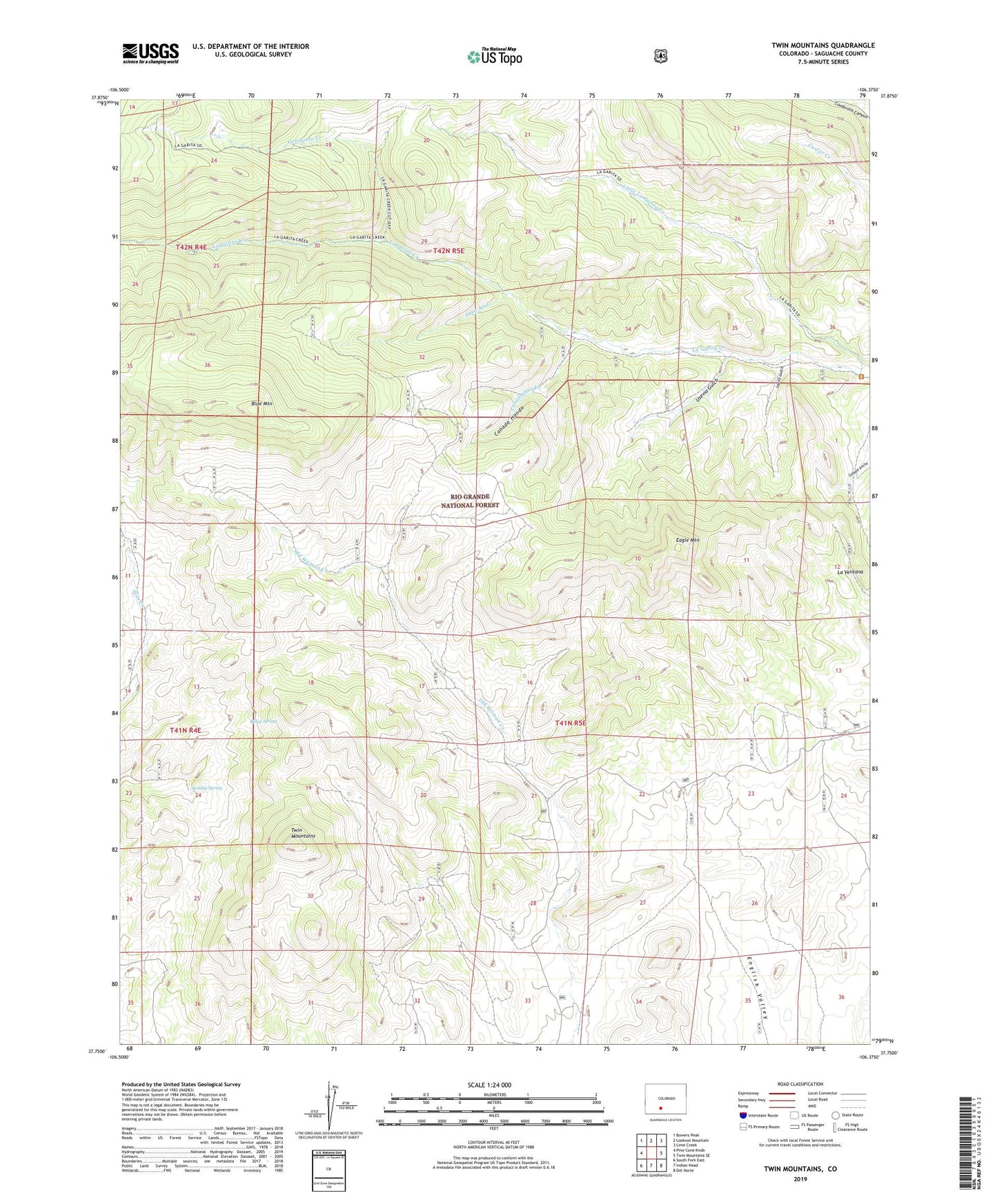
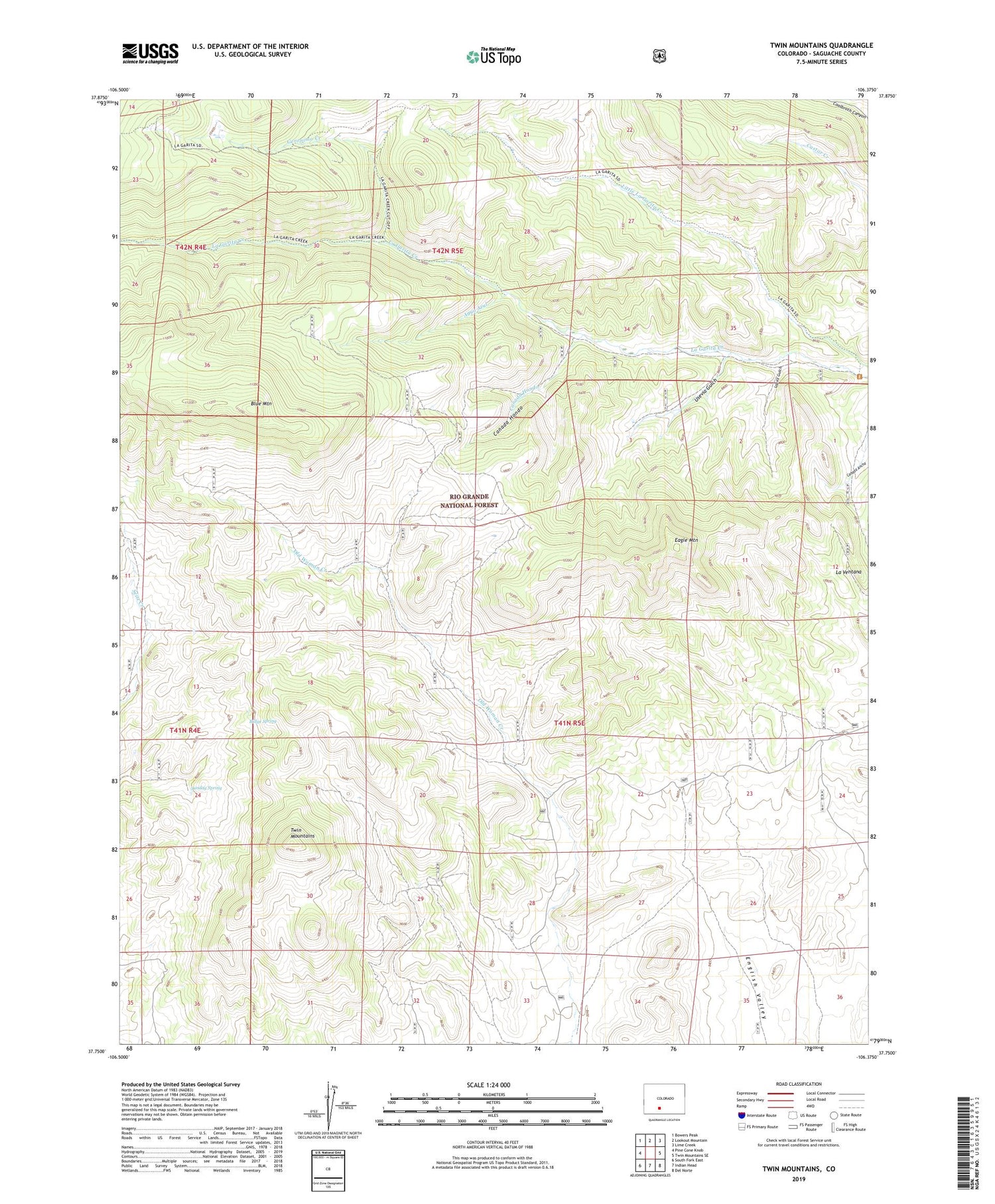
Twin Mountains Colorado US Topo Map
Couldn't load pickup availability
Also explore the Twin Mountains Forest Service Topo of this same quad for updated USFS data
2022 topographic map quadrangle Twin Mountains in the state of Colorado. Scale: 1:24000. Based on the newly updated USGS 7.5' US Topo map series, this map is in the following counties: Saguache. The map contains contour data, water features, and other items you are used to seeing on USGS maps, but also has updated roads and other features. This is the next generation of topographic maps. Printed on high-quality waterproof paper with UV fade-resistant inks.
Quads adjacent to this one:
West: Pine Cone Knob
Northwest: Bowers Peak
North: Lookout Mountain
Northeast: Lime Creek
East: Twin Mountains SE
Southeast: Del Norte
South: Indian Head
Southwest: South Fork East
This map covers the same area as the classic USGS quad with code o37106g4.
Contains the following named places: Agua Azul, Blue Mountain, Canada Hondo, Eagle Mountain, Geronimo Creek, La Garita Corral, La Ventana, Lopez Gulch, Lost Treasure Diggings, Penny Bright Mine, Ridge Spring, Sunday Spring, Twin Mountains, Usevia Gulch