MyTopo
Scotland Connecticut US Topo Map
Couldn't load pickup availability
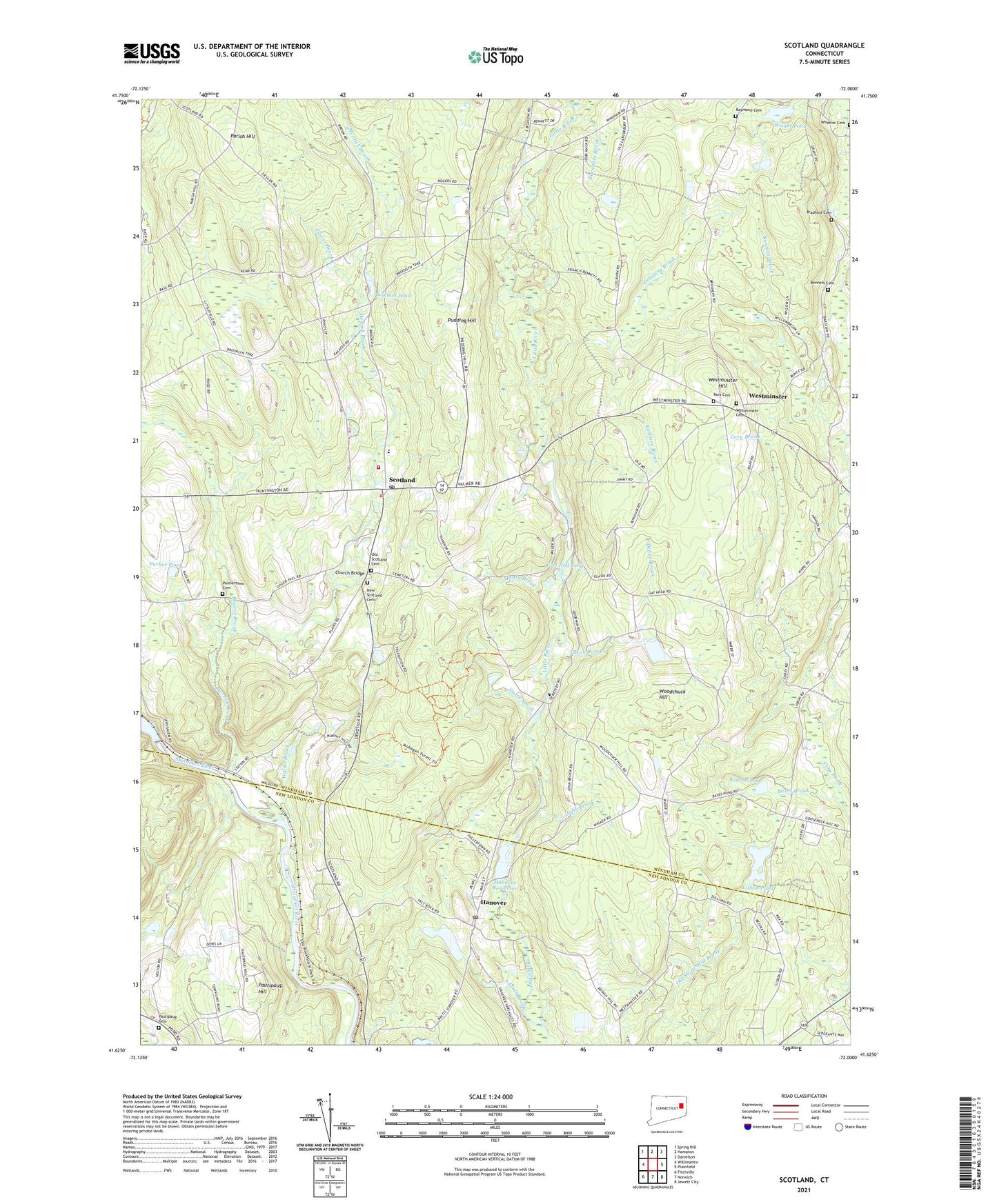
2024 topographic map quadrangle Scotland in the state of Connecticut. Scale: 1:24000. Based on the newly updated USGS 7.5' US Topo map series, this map is in the following counties: Windham, New London. The map contains contour data, water features, and other items you are used to seeing on USGS maps, but also has updated roads and other features. This is the next generation of topographic maps. Printed on high-quality waterproof paper with UV fade-resistant inks.
Quads adjacent to this one:
West: Willimantic
Northwest: Spring Hill
North: Hampton
Northeast: Danielson
East: Plainfield
Southeast: Jewett City
South: Norwich
Southwest: Fitchville
This map covers the same area as the classic USGS quad with code o41072f1.
Contains the following named places: Adams Brook, Bates Brook, Bates Pond, Beaver Brook, Bennett Cemetery, Bradford Cemetery, Burnham Brook, Christian Fellowship Church, Church Bridge, Clover Brook, Coffey Brook, Colburn Brook, Deane Brook, Downing Brook, Edward Waldo House Museum, Fort Ned Pond, Hanover, Hanover Congregational Church, Hanover Post Office, Hanover Reservoir, Hanover Reservoir Dam, Hickory Grove Roadside Park, Highland Campground, Howard Valley Church, John Brook, Kimball Pond, Lisbon Pond, Lisbon Pond Dam, Merrick Brook, Monty Brook, Nature Conservatory, New Scotland Cemetery, Old Scotland Cemetery, Palmertown Cemetery, Parish Hill, Park Cemetery, Parker Pond, Pautipaug Cemetery, Pautipaug Golf Course and Country Club, Pautipaug Hill, Peck Brook, Pudding Hill, Raymond Cemetery, Saint Margarets Church, Scotland, Scotland Congregational Church, Scotland Dam, Scotland Elementary School, Scotland Post Office, Scotland Public Library, Scotland Volunteer Fire Department Station 16, Smith Brook, Town of Scotland, Town of Sprague, Waldo Brook, Westminster, Westminster Cemetery, Westminster Congregational Church, Westminster Hill, Woodchuck Hill, Wright Pond, ZIP Codes: 06264, 06330, 06331, 06350


