MyTopo
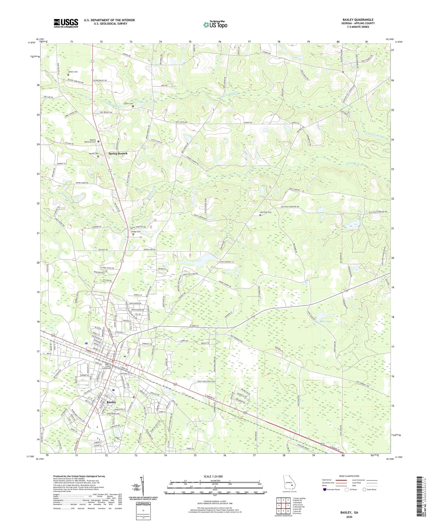
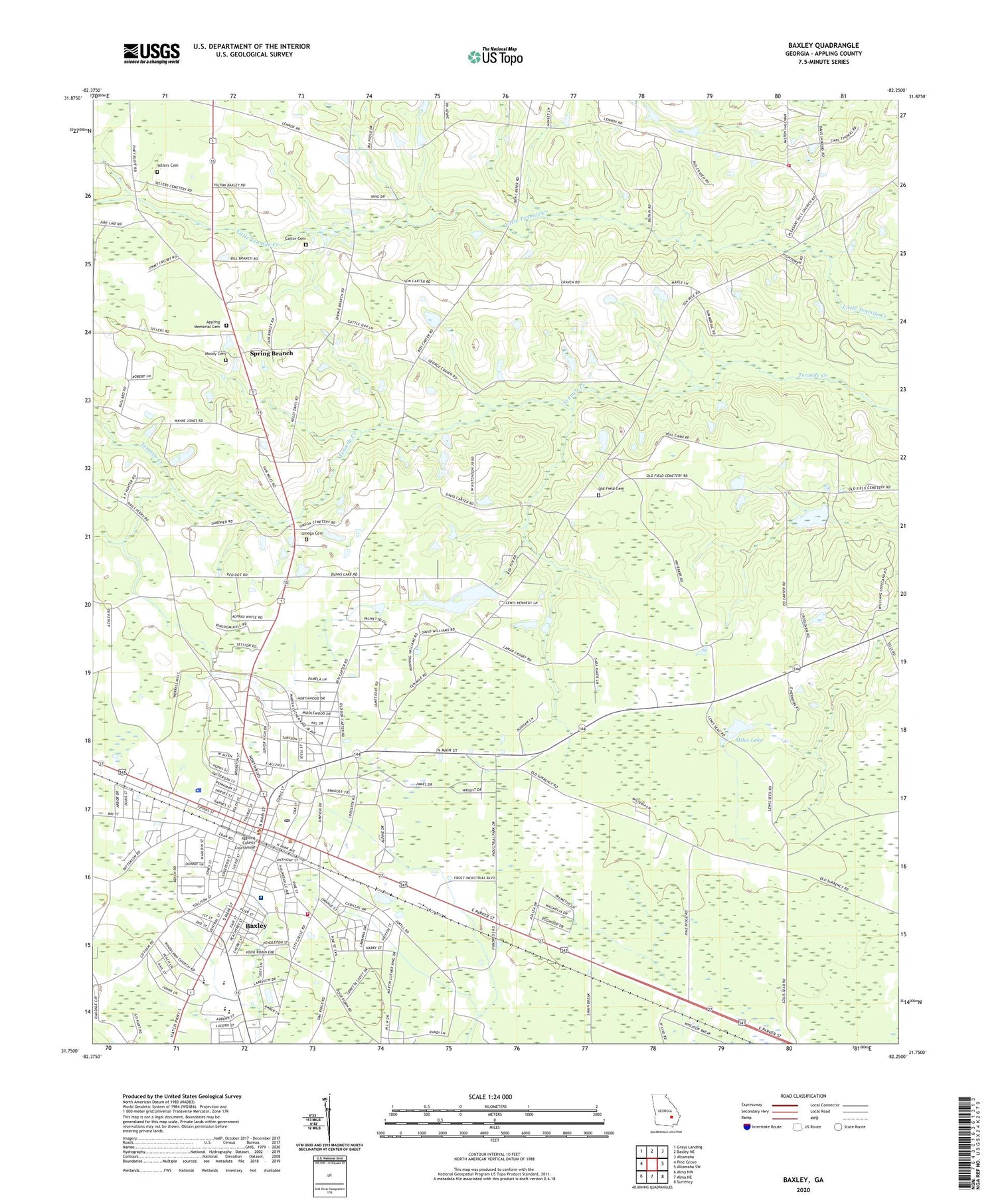
Baxley Georgia US Topo Map
Couldn't load pickup availability
2024 topographic map quadrangle Baxley in the state of Georgia. Scale: 1:24000. Based on the newly updated USGS 7.5' US Topo map series, this map is in the following counties: Appling. The map contains contour data, water features, and other items you are used to seeing on USGS maps, but also has updated roads and other features. This is the next generation of topographic maps. Printed on high-quality waterproof paper with UV fade-resistant inks.
Quads adjacent to this one:
West: Pine Grove
Northwest: Grays Landing
North: Baxley NE
Northeast: Altamaha
East: Altamaha SW
Southeast: Surrency
South: Alma NE
Southwest: Alma NW
This map covers the same area as the classic USGS quad with code o31082g3.
Contains the following named places: Appling County Courthouse, Appling County Elementary School, Appling County Fire Department Ten Mile Station, Appling County High School, Appling County Industrial Park, Appling County Jail, Appling County Junior High School, Appling County Primary School, Appling County Public Library, Appling County Sheriff's Office, Appling Healthcare System, Appling Memorial Cemetery, Baker Homes, Bassville, Baxley, Baxley Church of Christ, Baxley Church of God, Baxley City Hall, Baxley Division, Baxley Freewill Baptist Church, Baxley High School, Baxley Manor Nursing Home, Baxley Police Department, Baxley Post Office, Baxley School, Baxley Seventh Day Adventist Church, Baxley Volunteer Fire Department, Cannafax Mobile Home Park, Carter Cemetery, Church of God, City of Baxley, Clay Homes, Cook Heights, Covenant Church of Baxley, Dunn Memorial Missionary Baptist Church, Dunns Lake, Dunns Lake Dam, Faith Temple, First African Baptist Church, First Assembly of God Church, First Baptist Church, First United Methodist Church, Good Shepherd Catholic Church, Hall-Holt Hospital, Harper Chapel United Methodist Church, Harpers Chapel Christian Methodist Episcopal Church, Holt Homes, Kingdom Hall of Jehovahs Witnesses, McDonough Institute, Miles Lake, Miles Lake Dam, Moody Cemetery, New Jersey Baptist Church, Oak Grove Church, Old Field Cemetery, Omega Cemetery, Pines Mobile Home Park, Pleasant Hill Baptist Church, Saint Christopher Roman Catholic Church, Saint James African Methodist Church, Saint Johns Church of God in Christ, Saint Matthews Baptist Church, Sellers Cemetery, Shady Acres, Shepherd Light Harvest Church, Speer Homes, Spring Branch, Spring Branch Baptist Church, Temple of the Higher Calling, Tenmile Church, Trinity Baptist Temple, United Pentecostal Church, Warrick Homes, Weatherly Park, Wheaton, Woodlawn Baptist Church, ZIP Code: 31513


