MyTopo
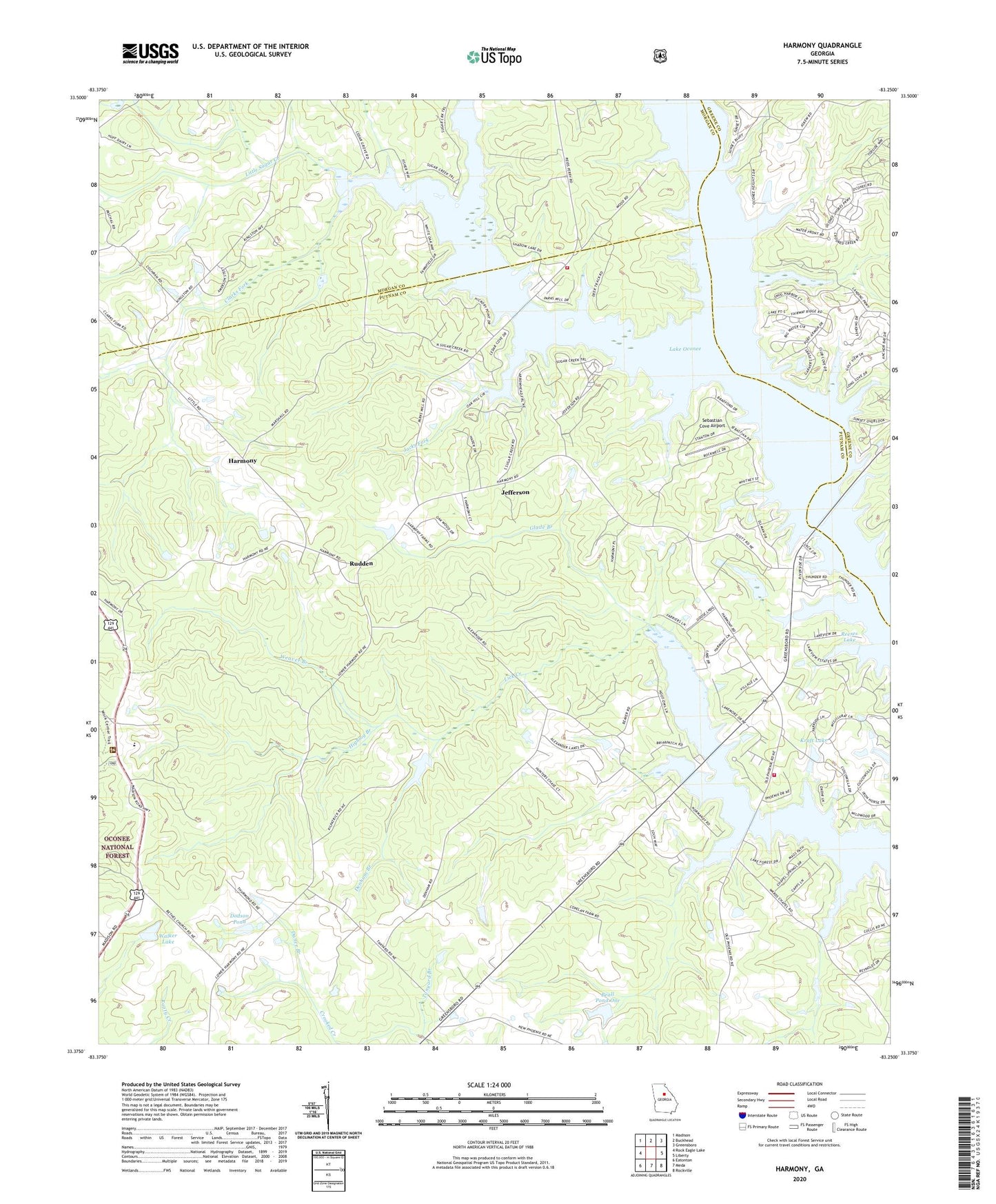
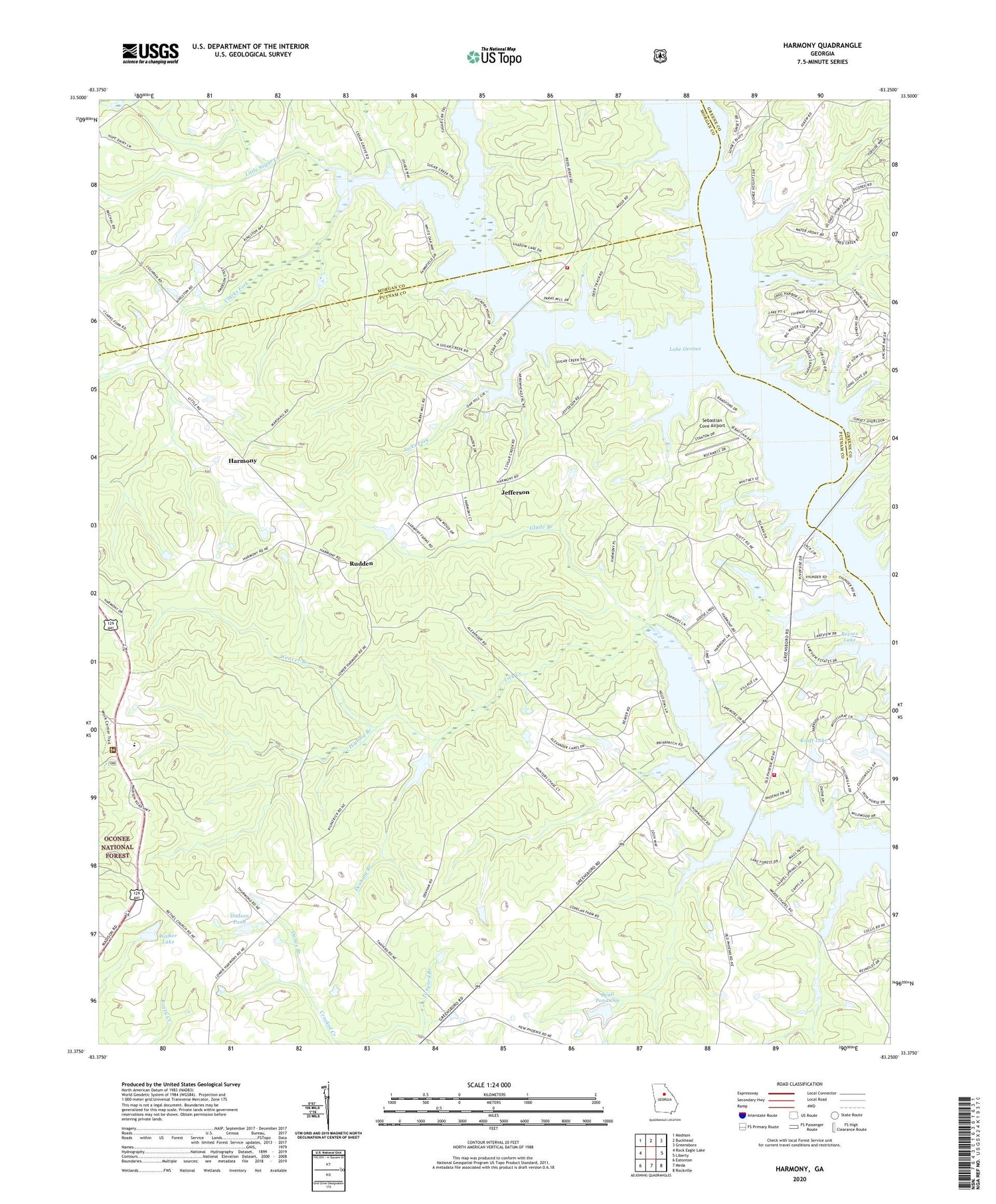
Harmony Georgia US Topo Map
Couldn't load pickup availability
Also explore the Harmony Forest Service Topo of this same quad for updated USFS data
2024 topographic map quadrangle Harmony in the state of Georgia. Scale: 1:24000. Based on the newly updated USGS 7.5' US Topo map series, this map is in the following counties: Putnam, Morgan, Greene. The map contains contour data, water features, and other items you are used to seeing on USGS maps, but also has updated roads and other features. This is the next generation of topographic maps. Printed on high-quality waterproof paper with UV fade-resistant inks.
Quads adjacent to this one:
West: Rock Eagle Lake
Northwest: Madison
North: Buckhead
Northeast: Greensboro
East: Liberty
Southeast: Rockville
South: Meda
Southwest: Eatonton
This map covers the same area as the classic USGS quad with code o33083d3.
Contains the following named places: Beall Pond Dam One, Beall Pond One, Clarks Fork, Dance Branch, Denham Branch, Dodson Pond, Dodson Pond Dam, Enterprise School, Florence School, Glade Branch, Glades Cross-Roads, Harmony, Harmony Church, Henderson Grove Church, Highlog Branch, Jacks Fork, Jefferson, Jefferson Church, Jones Grove School, Kraft Lake, Kraft Lake Dam, Lake Oconee, Lake Oconee Chapel, Little Sugar Creek, Lone Oak Church, New Bethel Church, Oconee Ranger Station, Phoenix School, Putnam - Morgan County Sugar Creek Fire Department Station 11, Putnam County Fire Rescue Department Station 3, Reeses Lake, Reeses Lake Dam, Reids Ferry, Rock Eagle Lake 4-H Club Roadside Park Picnic Area, Rudden, Sebastian Cove Airport, Spivey, Sugar Creek, Sugar Creek Boat Ramp, Tanyard Branch, Turnwold, Walker Lake, Walker Lake Dam, Ward Chapel, Weaver Branch


