MyTopo
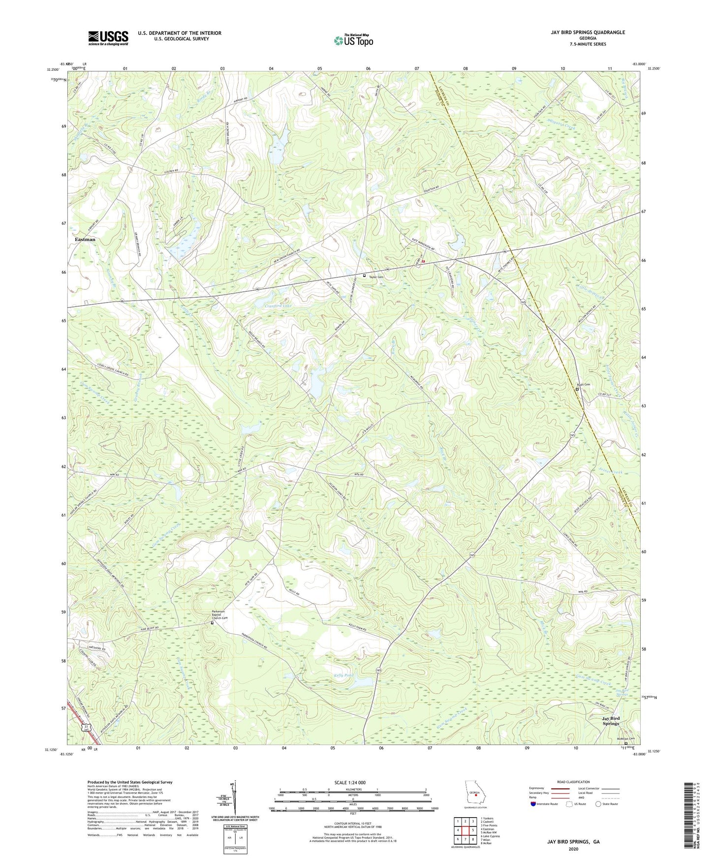
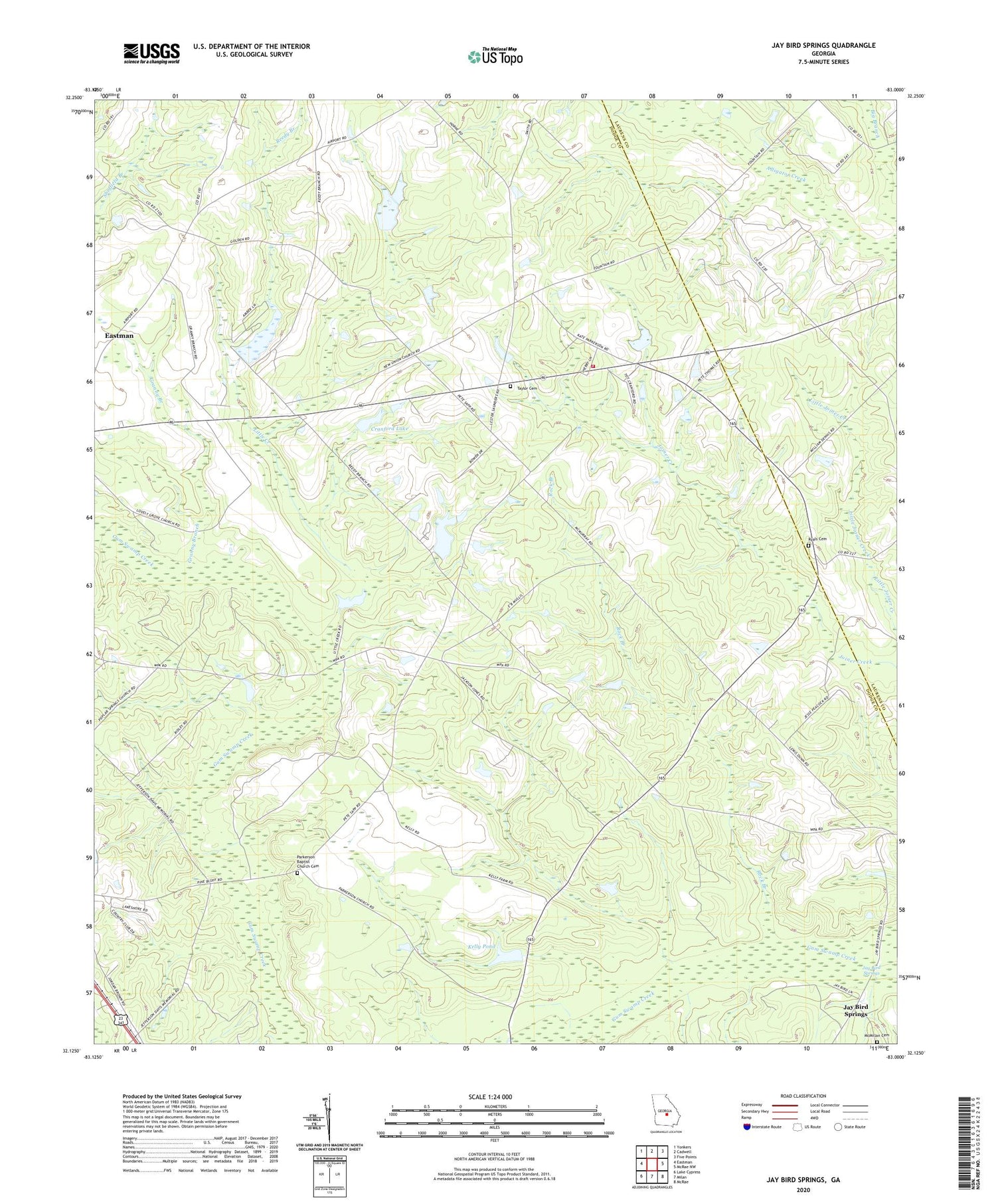
Jay Bird Springs Georgia US Topo Map
Couldn't load pickup availability
2024 topographic map quadrangle Jay Bird Springs in the state of Georgia. Scale: 1:24000. Based on the newly updated USGS 7.5' US Topo map series, this map is in the following counties: Dodge, Laurens. The map contains contour data, water features, and other items you are used to seeing on USGS maps, but also has updated roads and other features. This is the next generation of topographic maps. Printed on high-quality waterproof paper with UV fade-resistant inks.
Quads adjacent to this one:
West: Eastman
Northwest: Yonkers
North: Cadwell
Northeast: Five Points
East: McRae NW
Southeast: McRae
South: Milan
Southwest: Lake Cypress
This map covers the same area as the classic USGS quad with code o32083b1.
Contains the following named places: Bethlehem Church, Big Branch, Cranford Dam, Cranford Lake, Crossroads Volunteer Fire Department, Ebenezer Church, Granny Branch, Hopewell Church, Jay Bird Springs, Jaybird Springs Church, Kelley Pond Dam, Kelly Pond, Lake Destiny, Lake Destiny Dam, Little Creek, Lovely Grove Church, Lowry Pond, Lowry Pond Dam, McMillan Cemetery, New Union Church, Parkerson Baptist Church, Parkerson Baptist Church Cemetery, Pitts, Poplar Spring Church, Reedy Branch, Rock Branch, Rock Branch Church, Ryals Cemetery, Saunders, Taylor Cemetery, Westbrook, ZIP Code: 31011