MyTopo
Five Points Georgia US Topo Map
Couldn't load pickup availability
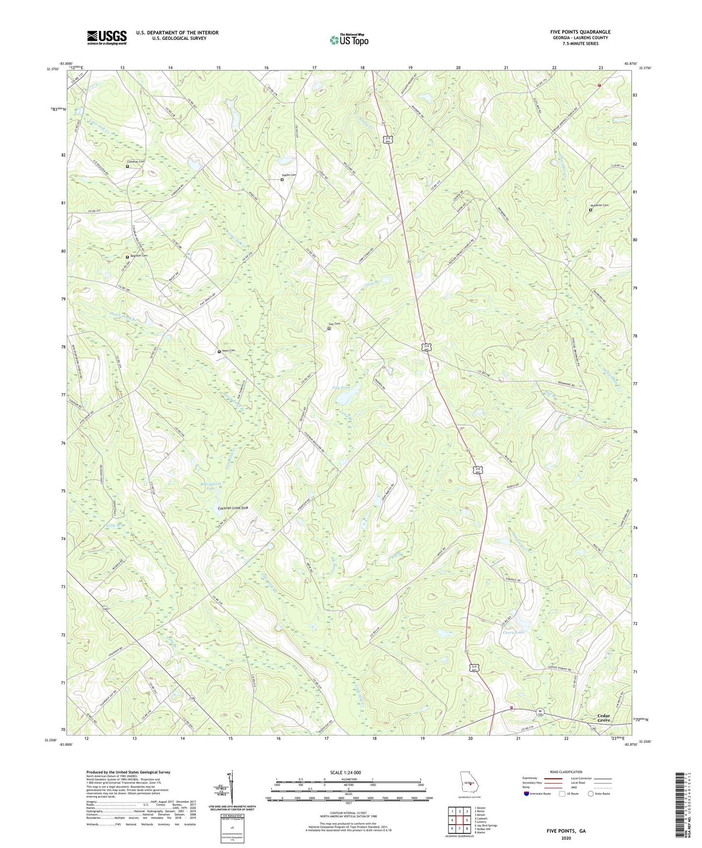
2024 topographic map quadrangle Five Points in the state of Georgia. Scale: 1:24000. Based on the newly updated USGS 7.5' US Topo map series, this map is in the following counties: Laurens. The map contains contour data, water features, and other items you are used to seeing on USGS maps, but also has updated roads and other features. This is the next generation of topographic maps. Printed on high-quality waterproof paper with UV fade-resistant inks.
Quads adjacent to this one:
West: Cadwell
Northwest: Dexter
North: Rentz
Northeast: Minter
East: Lowery
Southeast: Alamo
South: McRae NW
Southwest: Jay Bird Springs
This map covers the same area as the classic USGS quad with code o32082c8.
Contains the following named places: Baker Church, Baker School, Bay Branch, Bedingfield Lake, Bedingfield Lake Dam, Bethesda Church, Big Branch, Browning Church, Cedar Grove, Cedar Grove Church, Cochran Lime Sink, Coleman Cemetery, Cross Church, Currie Lake, Currie Lake Dam, Davidson Lookout Tower, Evans School, Five Points, Gay Cemetery, Gay Pond, Gay Pond Dam, Grinstead School, Hawk Pond Branch, Hobbs Cemetery, Keen Cemetery, Land Branch, Laurens County Fire Department Station 14, McDaniel Cemetery, Mount Calvary Church, New Faith Church, New Providence Church, Oak Dale Church, Oakdale School, Pine Grove Church, Pine Hill Church, Register Cemetery, Southwest Laurens Middle School, Warren Grove Church, ZIP Code: 31075