
MyTopo
McRae NW Georgia US Topo Map
Couldn't load pickup availability
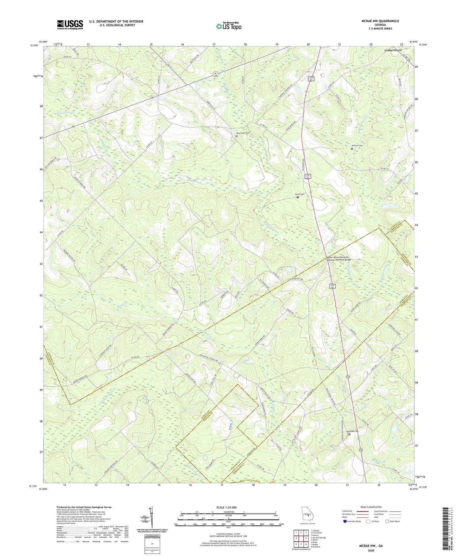
2024 topographic map quadrangle McRae NW in the state of Georgia. Scale: 1:24000. Based on the newly updated USGS 7.5' US Topo map series, this map is in the following counties: Laurens, Dodge, Wheeler, Telfair. The map contains contour data, water features, and other items you are used to seeing on USGS maps, but also has updated roads and other features. This is the next generation of topographic maps. Printed on high-quality waterproof paper with UV fade-resistant inks.
Quads adjacent to this one:
West: Jay Bird Springs
Northwest: Cadwell
North: Five Points
Northeast: Lowery
East: Alamo
Southeast: Scotland
South: McRae
Southwest: Milan
This map covers the same area as the classic USGS quad with code o32082b8.
Contains the following named places: Antioch Cemetery, Big Branch, Burch Cemetery, Cedar Grove School, Doctor Alfred Tennyson Coleman Memorial Bridge, Harrelson Cemetery, Lime Sink Creek, Little Joiner Creek, Long Branch, Mount Olivet Church, New Bethel Church, New Hope Cemetery, New Hope Church, Sigurd, Whitewater Creek, Whitewater School


