MyTopo
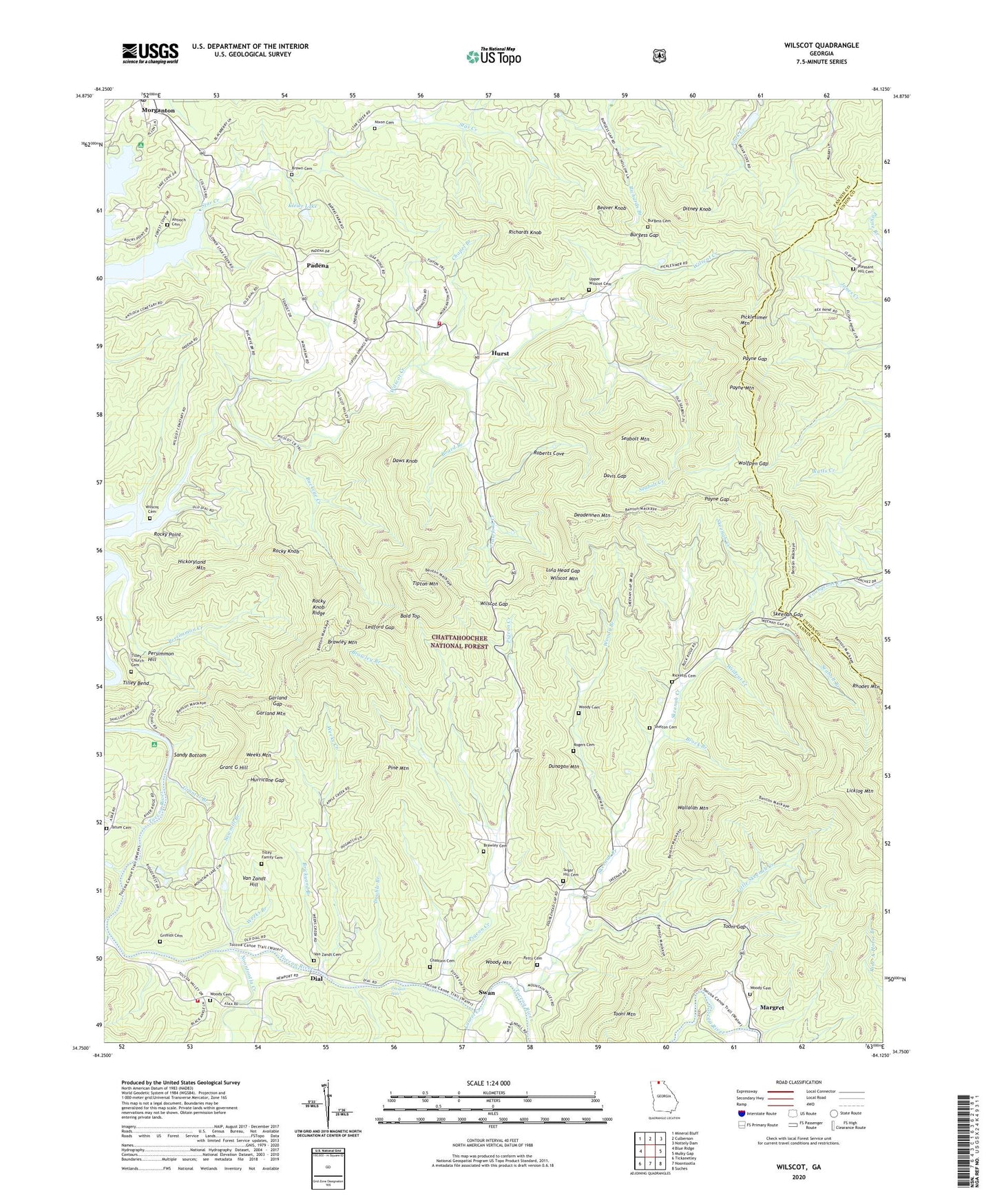
Wilscot Georgia US Topo Map
Couldn't load pickup availability
Also explore the Wilscot Forest Service Topo of this same quad for updated USFS data
2024 topographic map quadrangle Wilscot in the state of Georgia. Scale: 1:24000. Based on the newly updated USGS 7.5' US Topo map series, this map is in the following counties: Fannin, Union. The map contains contour data, water features, and other items you are used to seeing on USGS maps, but also has updated roads and other features. This is the next generation of topographic maps. Printed on high-quality waterproof paper with UV fade-resistant inks.
Quads adjacent to this one:
West: Blue Ridge
Northwest: Mineral Bluff
North: Culberson
Northeast: Nottely Dam
East: Mulky Gap
Southeast: Suches
South: Noontootla
Southwest: Tickanetley
This map covers the same area as the classic USGS quad with code o34084g2.
Contains the following named places: Antioch Cemetery, Bald Top, Beaver Knob, Benton Mackaye Trail, Big Creek, Board Branch, Brawley Branch, Brawley Cemetery, Brawley Mountain, Brawley Mountain Lookout Tower, Brickyard Branch, Brock Branch, Brown Cemetery, Buckeye Creek, Burgess Cemetery, Burgess Gap, Chapel Branch, Chastain Cemetery, Chattahoochee National Forest, City of Morganton, Concord Church, Crawford Creek, Craytonia, Davis Gap, Daws Knob, Deadennen Mountain, Dial, Dial School, Ditney Knob, Doogan Hole, Double Branch, Dunagan Mountain, Fannin County Fire Department Station 3, Fannin County Fire Department Station 7, Friendship Church, Garland Gap, Garland Mountain, Grant G Branch, Grant G Hill, Griffith Cemetery, Hickoryland Mountain, Hurricane Gap, Hurst, Hurst School, Kleier Lake, Kleier Lake Dam, Lake Blue Ridge Recreation Site, Laurel Creek, Ledford Gap, Licklog Mountain, Little Skeenah Creek, Lula Head Gap, Margret, Morganton Division, Morganton Post Office, Nixon Cemetery, Noontootla Creek, Padena, Payne Gap, Payne Mountain, Persimmon Creek, Persimmon Hill, Petty Cemetery, Picklesimer Mountain, Pigeon Creek, Pine Mountain, Pleasant Hill Cemetery, Pleasant Hill Church, Pleasant Hill School, Richards Knob, Ricketts Cemetery, Roberts Cove, Rocky Knob, Rocky Knob Ridge, Rocky Point, Rogers Cemetery, Salem Baptist Church Number 1, Sandy Bottom, Sawmill Branch, Seabolt Branch, Seabolt Creek, Seabolt Mountain, Shelton Cemetery, Skeenah Campground, Skeenah Creek, Skeenah Creek Mill, Skeenah Gap, Star Creek, Star Creek Church, Star Creek School, Sugar Hill, Sugar Hill Cemetery, Sugar Hill School, Swan, Tatum Cemetery, Tilley Bend, Tilley Church, Tilley Church Cemetery, Tilley Family Cemetery, Tipton Mountain, Tooni Gap, Tooni Mountain, Upper Wilscot Cemetery, Upper Wilscot Church, Van Zandt Cemetery, Van Zandt Hill, Wallalah Mountain, Weeks Branch, Weeks Creek, Weeks Mountain, Wildcat Creek, Wilscot, Wilscot Baptist Church, Wilscot Cemetery, Wilscot Creek, Wilscot Gap, Wilscot Mountain, Wolfpen Gap, Woody Branch, Woody Cemetery, Woody Church, Woody Mountain


