MyTopo
Sigsbee Georgia US Topo Map
Couldn't load pickup availability
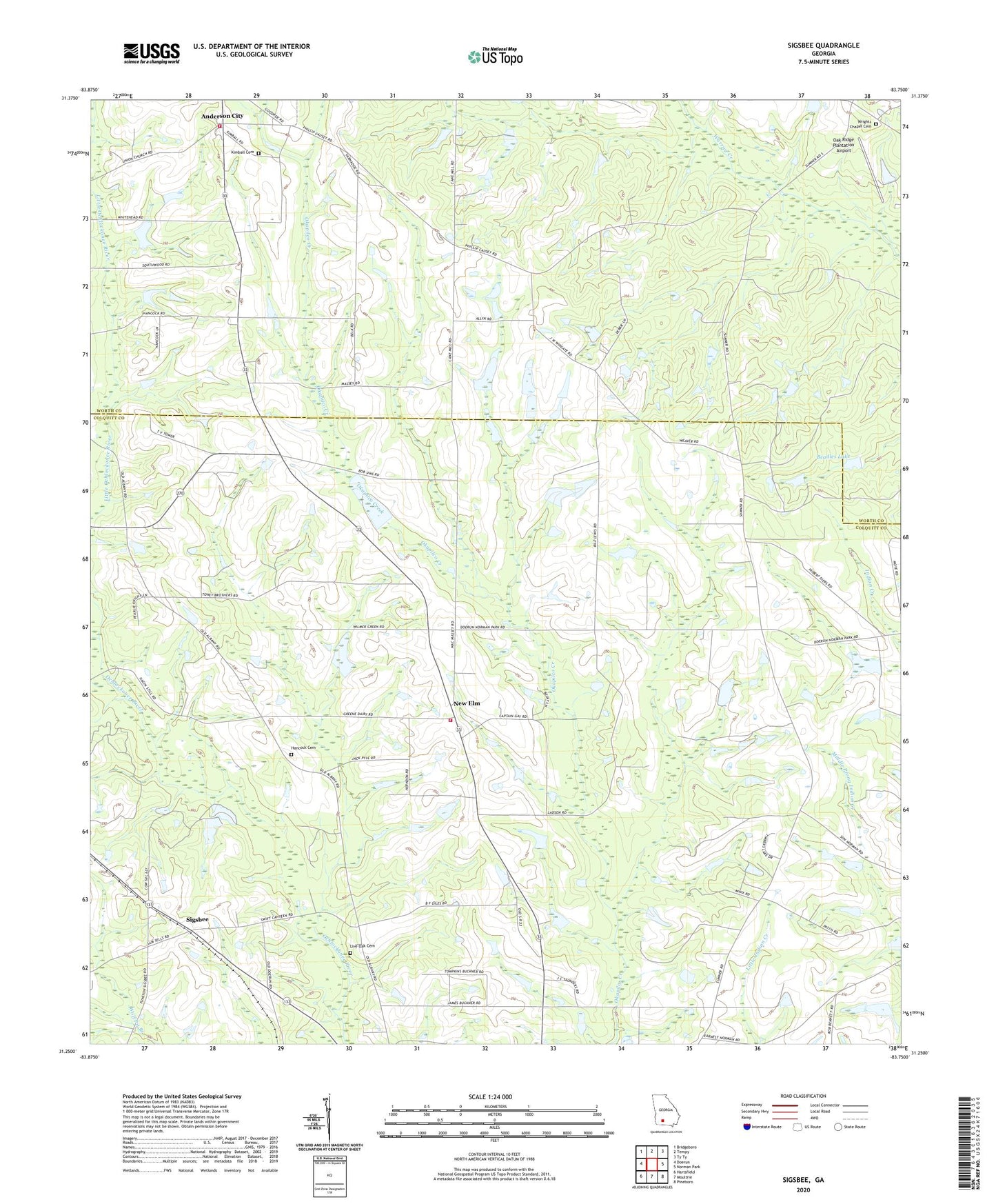
2024 topographic map quadrangle Sigsbee in the state of Georgia. Scale: 1:24000. Based on the newly updated USGS 7.5' US Topo map series, this map is in the following counties: Colquitt, Worth. The map contains contour data, water features, and other items you are used to seeing on USGS maps, but also has updated roads and other features. This is the next generation of topographic maps. Printed on high-quality waterproof paper with UV fade-resistant inks.
Quads adjacent to this one:
West: Doerun
Northwest: Bridgeboro
North: Tempy
Northeast: Ty Ty
East: Norman Park
Southeast: Pineboro
South: Moultrie
Southwest: Hartsfield
This map covers the same area as the classic USGS quad with code o31083c7.
Contains the following named places: Anderson City, Beadles Lake, Beadles Lake Dam, Colquitt County Volunteer Firefighters Association Fire Station 32 New Elm, Elm School, Hancock Cemetery, Harkan School, Hour of Deliverance Church, Kimball Cemetery, Kimball Church, Live Oak Cemetery, Live Oak Church, Minton, Minton School, New Elm, New Elm Cemetery, New Elm Church, Oak Dale Church, Oak Ridge Church, Oak Ridge Plantation Airport, Oakdale Baptist Church Cemetery, Okapilco School, Old Minton School, Providence Church, Rochelle Church, Rochelle School, Rose of Sharon Baptist Cemetery, Rose of Sharon Church, Saint Pauls Church, Sigsbee, South Minton Church, South Minton School, WALB-TV (Albany), WFXL-TV (Albany), Worth County Fire and Rescue Station 10, Wrights Chapel, Wrights Chapel Cemetery, Wrights Chapel Consolidated School