
MyTopo
Puumakaala Hawaii US Topo Map
Couldn't load pickup availability
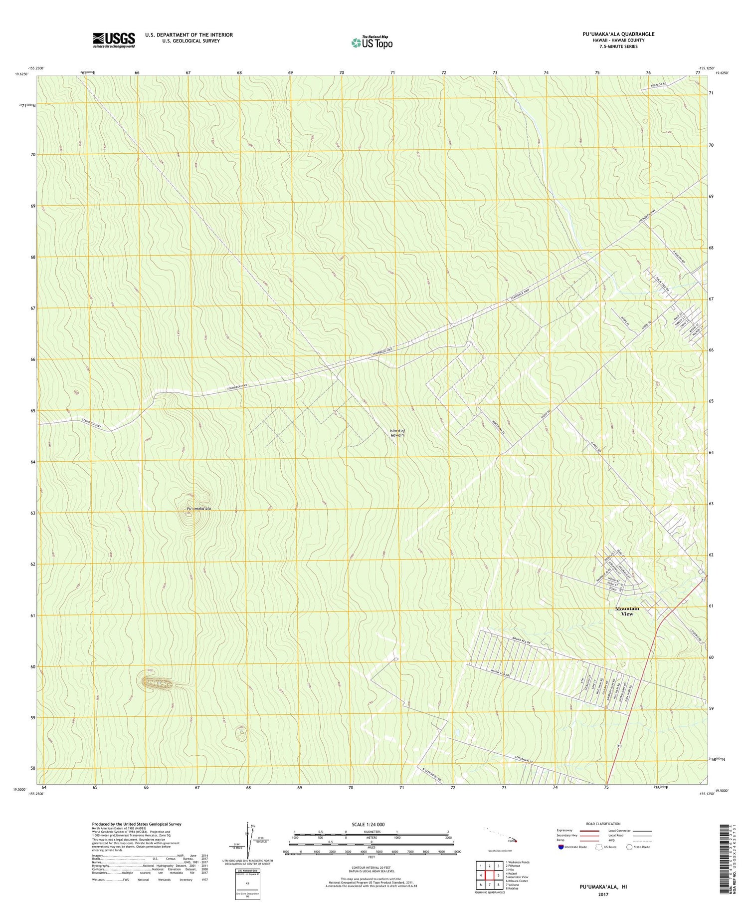
2024 topographic map quadrangle Puumakaala in the state of Hawaii. Scale: 1:24000. Based on the newly updated USGS 7.5' US Topo map series, this map is in the following counties: Hawaii. The map contains contour data, water features, and other items you are used to seeing on USGS maps, but also has updated roads and other features. This is the next generation of topographic maps. Printed on high-quality waterproof paper with UV fade-resistant inks.
Quads adjacent to this one:
West: Kulani
Northwest: Waikoloa Ponds
North: Piihonua
Northeast: Hilo
East: Mountain View
Southeast: Kalalua
South: Volcano
Southwest: Kilauea Crater
Contains the following named places: Eighteenmile Station, Lehua, Mountain View Census Designated Place, 'Ola'a Flume, 'Ola'a Forest Reserve, 'Ola'a Reservation Lots, Pu'umaka'ala


