MyTopo
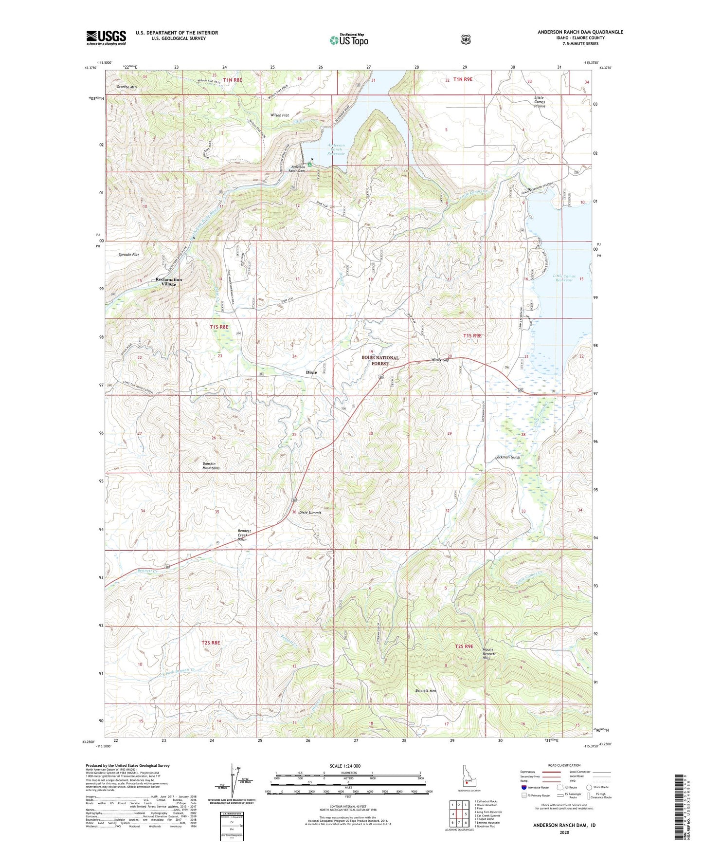
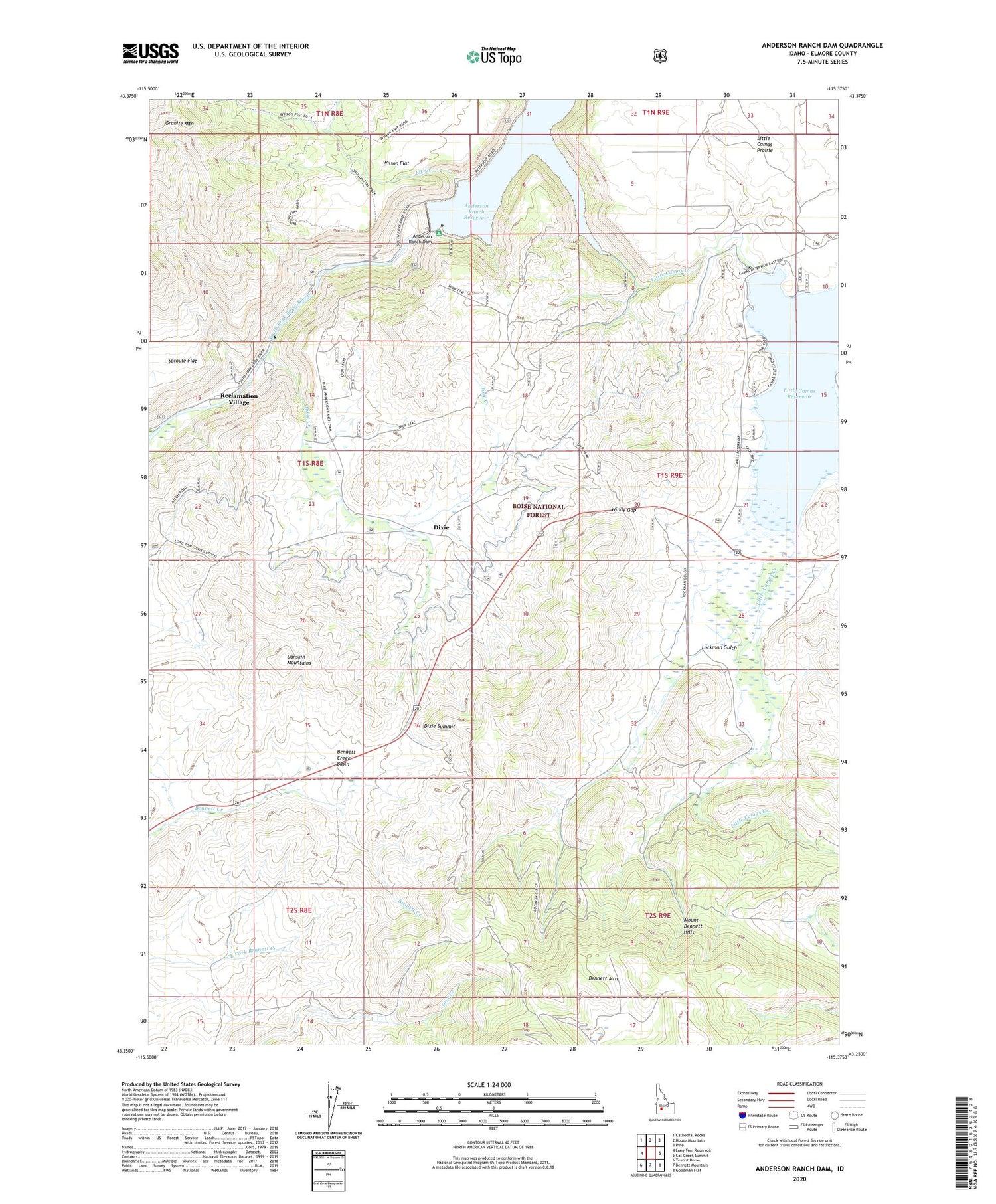
Anderson Ranch Dam Idaho US Topo Map
Couldn't load pickup availability
Also explore the Anderson Ranch Dam Forest Service Topo of this same quad for updated USFS data
2024 topographic map quadrangle Anderson Ranch Dam in the state of Idaho. Scale: 1:24000. Based on the newly updated USGS 7.5' US Topo map series, this map is in the following counties: Elmore. The map contains contour data, water features, and other items you are used to seeing on USGS maps, but also has updated roads and other features. This is the next generation of topographic maps. Printed on high-quality waterproof paper with UV fade-resistant inks.
Quads adjacent to this one:
West: Long Tom Reservoir
Northwest: Cathedral Rocks
North: House Mountain
Northeast: Pine
East: Cat Creek Summit
Southeast: Goodman Flat
South: Bennett Mountain
Southwest: Teapot Dome
This map covers the same area as the classic USGS quad with code o43115c4.
Contains the following named places: Anderson Ranch Dam, Bennett Airport, Bennett Creek Basin, Bennett Patrol Cabin Site, Daley Con Mines, Dixie, Dixie Creek, Dixie Summit, Elk Creek, Elk Creek Boat Ramp, Elk Creek Recreation Site, Elmore County, Little Camas Creek, Little Camas Dam, Little Camas Prairie, Little Camas Recreation Site, Little Camas Reservoir, Little Camas Reservoir Access Area, Lockman Gulch, Reber Mine, Reclamation Village, View Point, Wilson Flat, Windy Gap