MyTopo
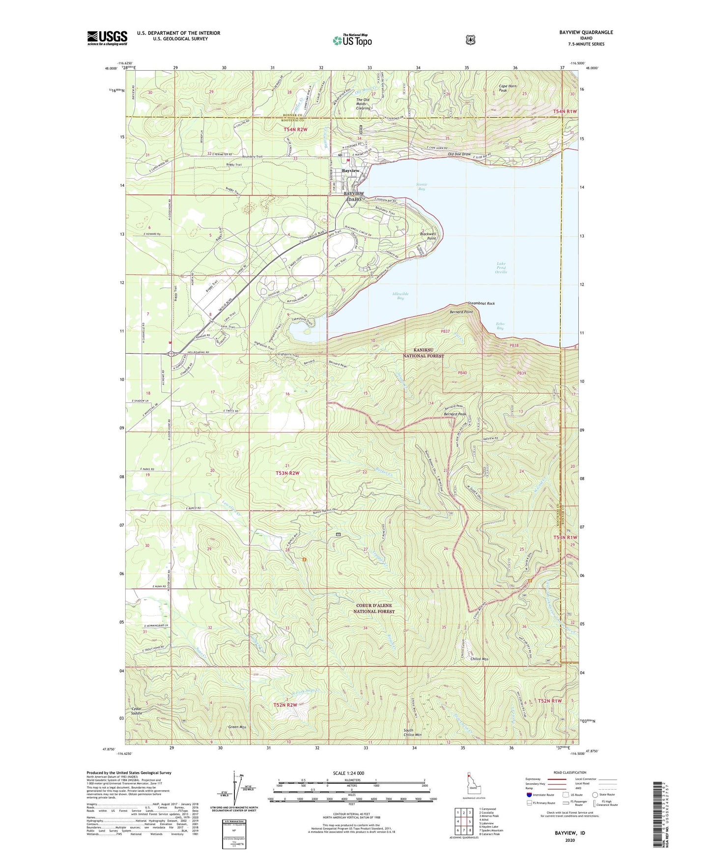
Bayview Idaho US Topo Map
Couldn't load pickup availability
Also explore the Bayview Forest Service Topo of this same quad for updated USFS data
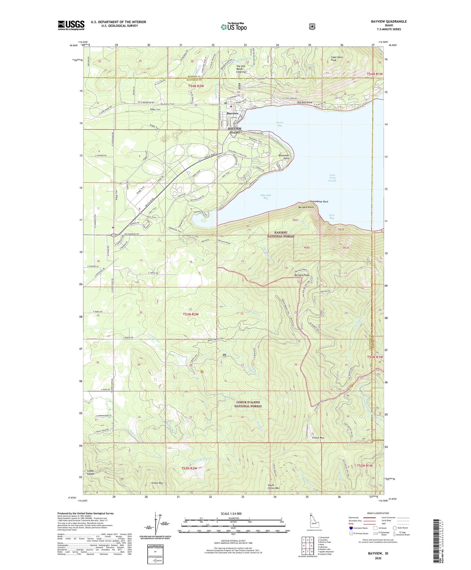
2024 topographic map quadrangle Bayview in the state of Idaho. Scale: 1:24000. Based on the newly updated USGS 7.5' US Topo map series, this map is in the following counties: Kootenai, Bonner. The map contains contour data, water features, and other items you are used to seeing on USGS maps, but also has updated roads and other features. This is the next generation of topographic maps. Printed on high-quality waterproof paper with UV fade-resistant inks.
Quads adjacent to this one:
West: Athol
Northwest: Careywood
North: Cocolalla
Northeast: Minerva Peak
East: Lakeview
Southeast: Cataract Peak
South: Spades Mountain
Southwest: Hayden Lake
This map covers the same area as the classic USGS quad with code o47116h5.
Contains the following named places: Barker Creek, Bayview, Bayview Creek, Bayview Post Office, Beaver Bay Swim Area, Bennion Gampground, Bernard Peak, Bernard Point, Blackwell Point, Brig Campground, Bunco Corners, Button Hook Group Camp, Cape Horn Peak, Cat Creek, Cedar Saddle, Chilco Mountain, Eagle Boat Launch, Echo Bay, Farragut State Park, Farragut Wildlife Management Area, Gilmore Camp, Green Creek, Green Mountain, Hill Campground, Idlewilde Bay, Kestrel Campground, Leiberg-Athol Trail, Locust Grove Picnic Area, Naval Training Station Farragut, Nighthawk Campground, North Fork Sage Creek, Old Doe Draw, Old Maid Creek, Peterson Campground, Roush Creek, Salee Creek, Sawpit Creek, Scenic Bay, Scott Campground, Snowberry Campground, Steamboat Rock, Sunrise Day Use Area, The Old Maids Clearing, Thimbleberry Group Area, Timberlake Fire Protection District Station 4, Timberlake Fire Protection District Station 5, Trapper Creek, Waldron Campground, Ward Campground, Whitetail Campground, Willow Day Use Area


