MyTopo
Lakeview Idaho US Topo Map
Couldn't load pickup availability
Also explore the Lakeview Forest Service Topo of this same quad for updated USFS data
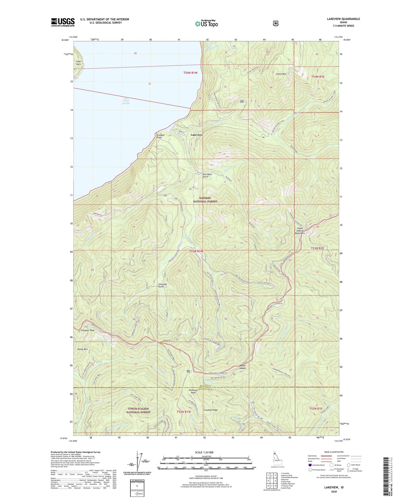
2024 topographic map quadrangle Lakeview in the state of Idaho. Scale: 1:24000. Based on the newly updated USGS 7.5' US Topo map series, this map is in the following counties: Bonner, Kootenai. The map contains contour data, water features, and other items you are used to seeing on USGS maps, but also has updated roads and other features. This is the next generation of topographic maps. Printed on high-quality waterproof paper with UV fade-resistant inks.
Quads adjacent to this one:
West: Bayview
Northwest: Cocolalla
North: Minerva Peak
Northeast: Packsaddle Mountain
East: Faset Peak
Southeast: Lamb Peak
South: Cataract Peak
Southwest: Spades Mountain
This map covers the same area as the classic USGS quad with code o47116h4.
Contains the following named places: Bellville Mine, Bernard Overlook, Branch North Gold Creek, Cape Horn, Cheer Creek, Chloride Gulch, Conjecture Mine, Gold Creek, Gosling Creek, Graham Point, Green Mountain, Green Mountain Trail, Honey Creek, Honey Mountain, Idaho Lakeview Mine, Jackknife Peak, Keep Cool Mine, Kick Bush Gulch, Lakeview, Lakeview Mines, Lakeview Sanitary Landfill, McHarg Creek, New Rainbow Mine, North Gold Creek, North Twin Creek, Prospect Creek, Prospect Peak, Silver Leaf Mine, Snowshoe Creek, Sob Creek, South Twin Creek, Vulcan Mine, Weber Mine, Weber Saddle, West Gold Creek