MyTopo
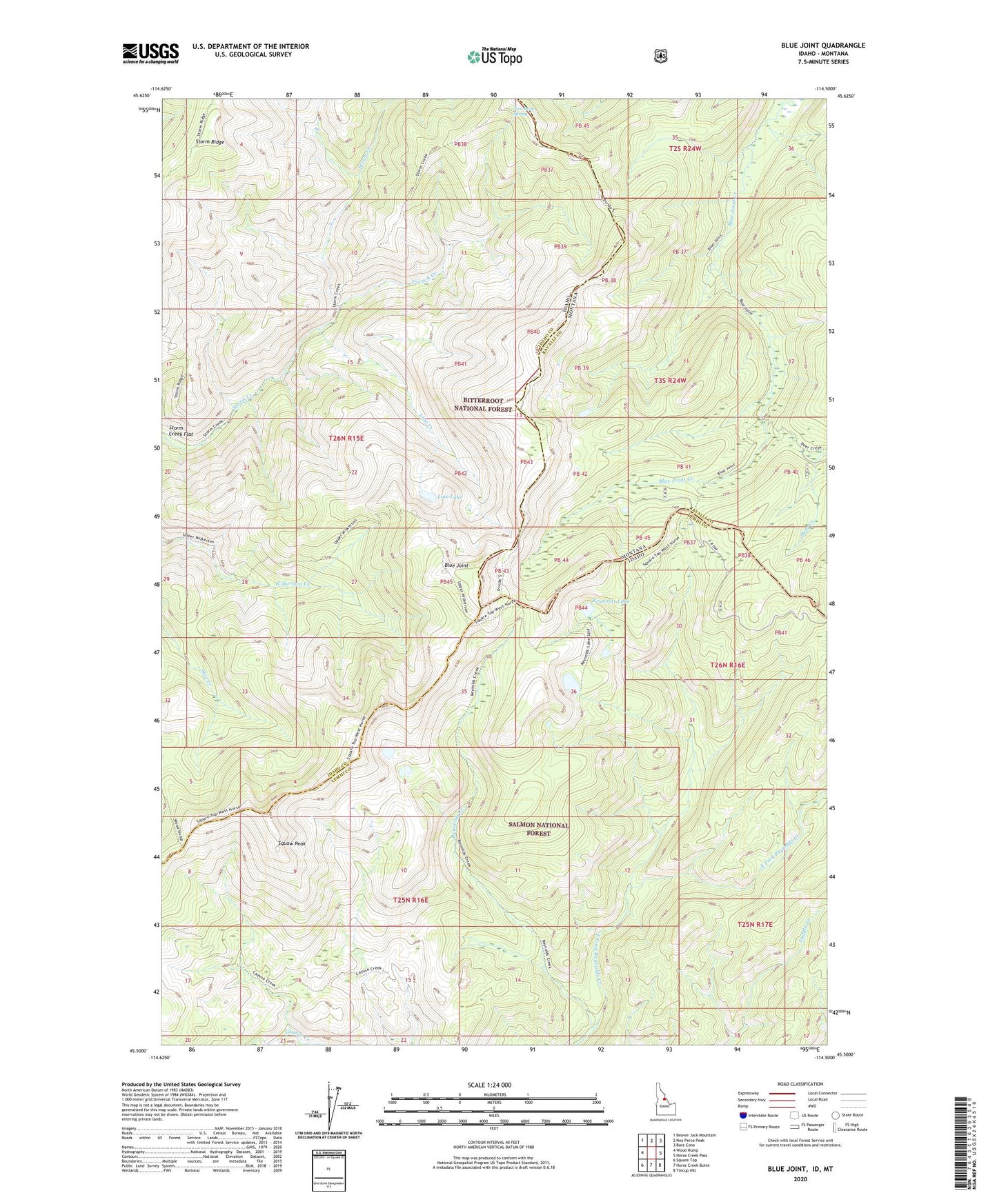
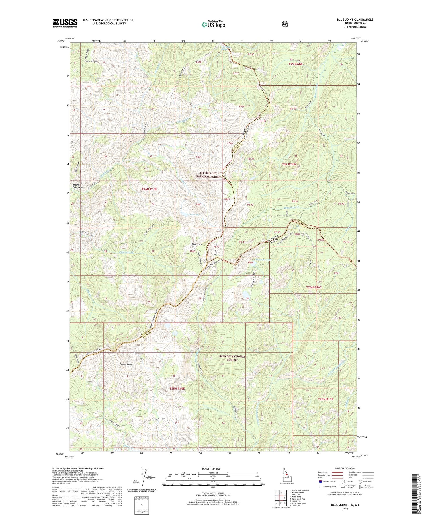
Blue Joint Idaho US Topo Map
Couldn't load pickup availability
Also explore the Blue Joint Forest Service Topo of this same quad for updated USFS data
2024 topographic map quadrangle Blue Joint in the state of Idaho. Scale: 1:24000. Based on the newly updated USGS 7.5' US Topo map series, this map is in the following counties: Idaho, Lemhi, Ravalli. The map contains contour data, water features, and other items you are used to seeing on USGS maps, but also has updated roads and other features. This is the next generation of topographic maps. Printed on high-quality waterproof paper with UV fade-resistant inks.
Quads adjacent to this one:
West: Wood Hump
Northwest: Beaver Jack Mountain
North: Nez Perce Peak
Northeast: Bare Cone
East: Horse Creek Pass
Southeast: Tincup Hill
South: Horse Creek Butte
Southwest: Square Top
Contains the following named places: Blue Joint, East Fork Reynolds Creek, French Creek, Line Creek, Line Lake, Reynolds Lake, Squaw Peak, Storm Creek Flat, Surprise Creek Camp, Two Buck Spring