MyTopo
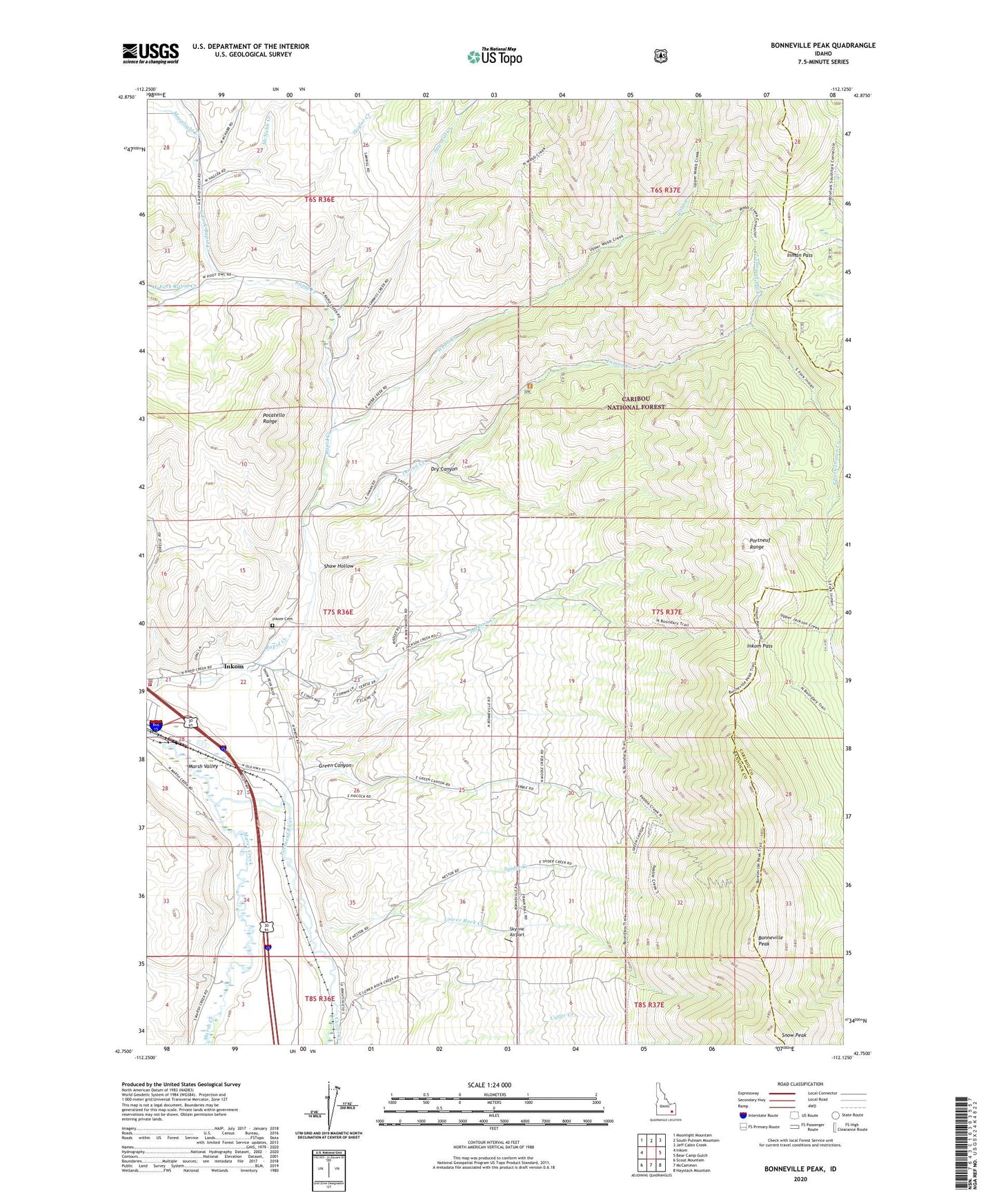
Bonneville Peak Idaho US Topo Map
Couldn't load pickup availability
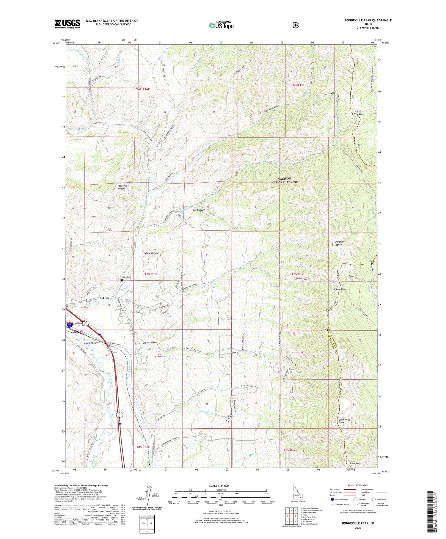
Also explore the Bonneville Peak Forest Service Topo of this same quad for updated USFS data
2023 topographic map quadrangle Bonneville Peak in the state of Idaho. Scale: 1:24000. Based on the newly updated USGS 7.5' US Topo map series, this map is in the following counties: Bannock, Caribou. The map contains contour data, water features, and other items you are used to seeing on USGS maps, but also has updated roads and other features. This is the next generation of topographic maps. Printed on high-quality waterproof paper with UV fade-resistant inks.
Quads adjacent to this one:
West: Inkom
Northwest: Moonlight Mountain
North: South Putnam Mountain
Northeast: Jeff Cabin Creek
East: Bear Camp Gulch
Southeast: Haystack Mountain
South: McCammon
Southwest: Scout Mountain
This map covers the same area as the classic USGS quad with code o42112g2.
Contains the following named places: Bonneville Peak, Cutler Creek, Dry Canyon, Green Canyon, Hagler Creek, Inkom Cemetery, Inkom City Police Department, Inkom Fire Department, Inkom Pass, Inman Creek, Inman Pass, Jackson Creek, Lower Rock Creek, Marsh Valley, McNabb Creek, Moonlight Creek, North Fork Inman Creek, North Fork Rapid Creek, Pebble Creek Ski Area, Portneuf Range, Sawmill Creek, Shaw Hollow, Skyline Airport, Snow Peak, South Fork Inman Creek, Spider Creek, Webb Creek, West Fork Rapid Creek, ZIP Code: 83245