MyTopo
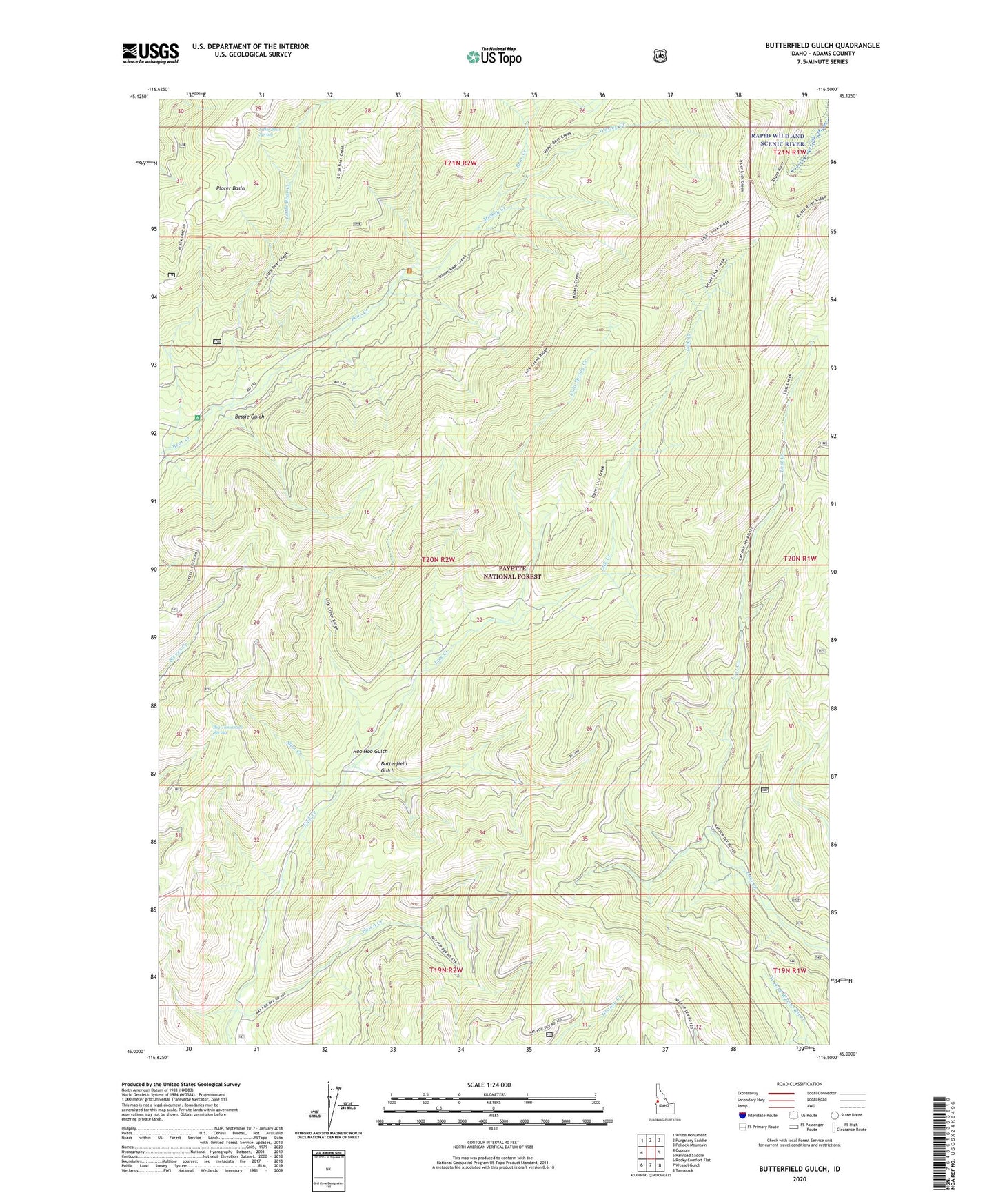
Butterfield Gulch Idaho US Topo Map
Couldn't load pickup availability
Also explore the Butterfield Gulch Forest Service Topo of this same quad for updated USFS data
2024 topographic map quadrangle Butterfield Gulch in the state of Idaho. Scale: 1:24000. Based on the newly updated USGS 7.5' US Topo map series, this map is in the following counties: Adams. The map contains contour data, water features, and other items you are used to seeing on USGS maps, but also has updated roads and other features. This is the next generation of topographic maps. Printed on high-quality waterproof paper with UV fade-resistant inks.
Quads adjacent to this one:
West: Cuprum
Northwest: White Monument
North: Purgatory Saddle
Northeast: Pollock Mountain
East: Railroad Saddle
Southeast: Tamarack
South: Weasel Gulch
Southwest: Rocky Comfort Flat
This map covers the same area as the classic USGS quad with code o45116a5.
Contains the following named places: Barrinaga Corrals, Bessie Gulch, Big Tamarack Spring, Butterfield Gulch, Cold Spring Creek, Fawn Creek, Hoo Hoo Gulch, Huckleberry Campground, Lick Creek Lookout, Little Bear Creek, Little Bear Spring, Mickey Creek, Placer Basin, Slim Creek, Wesley Creek