MyTopo
Pollock Mountain Idaho US Topo Map
Couldn't load pickup availability
Also explore the Pollock Mountain Forest Service Topo of this same quad for updated USFS data
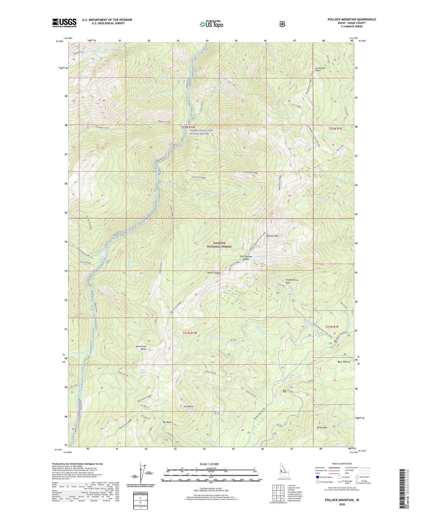
2024 topographic map quadrangle Pollock Mountain in the state of Idaho. Scale: 1:24000. Based on the newly updated USGS 7.5' US Topo map series, this map is in the following counties: Adams. The map contains contour data, water features, and other items you are used to seeing on USGS maps, but also has updated roads and other features. This is the next generation of topographic maps. Printed on high-quality waterproof paper with UV fade-resistant inks.
Quads adjacent to this one:
West: Purgatory Saddle
Northwest: He Devil
North: Heavens Gate
Northeast: Pollock
East: Indian Mountain
Southeast: Bally Mountain
South: Railroad Saddle
Southwest: Butterfield Gulch
This map covers the same area as the classic USGS quad with code o45116b4.
Contains the following named places: Ant Basin, Ant Butte, Bear Wallow, Black Leopard Discovery Mine, Brush Mountain, Bull Horn Creek, Cabin Creek, Campbells Cow Camp, Chokecherry Flat, Cold Springs, Cold Springs Creek, Cold Springs Saddle, Dentene Creek, Devils Ladder, Echols Creek, Fry Pan Creek, Hell Creek, Indian Springs, Lake Fork, Lockwood Point, Lonesome Creek, Louise Creek, Louse Creek, North Fork Star Creek, North Star Butte, North Star Creek, Paradise Cabin, Paradise Creek, Pollock Creek, Pollock Mountain, Pollock Mountain Lookout, Rapid Wild and Scenic River, Shannon Corral, Sinking Creek, Smoky Forest Camp, Star Creek, Star Creek Camp, Trail Creek, Trail Creek Spring, Twin Lakes Creek