MyTopo
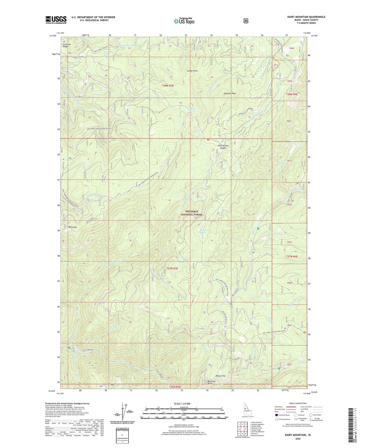
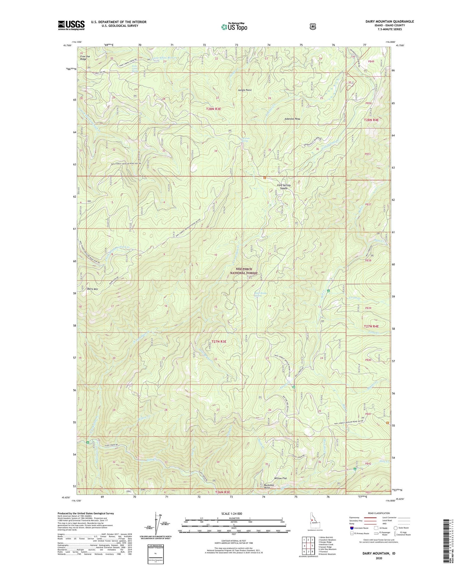
Dairy Mountain Idaho US Topo Map
Couldn't load pickup availability
Also explore the Dairy Mountain Forest Service Topo of this same quad for updated USFS data
2024 topographic map quadrangle Dairy Mountain in the state of Idaho. Scale: 1:24000. Based on the newly updated USGS 7.5' US Topo map series, this map is in the following counties: Idaho. The map contains contour data, water features, and other items you are used to seeing on USGS maps, but also has updated roads and other features. This is the next generation of topographic maps. Printed on high-quality waterproof paper with UV fade-resistant inks.
Quads adjacent to this one:
West: McKinzie Creek
Northwest: White Bird Hill
North: Goodwin Meadows
Northeast: Hungry Ridge
East: Sawyer Ridge
Southeast: Hanover Mountain
South: Florence
Southwest: John Day Mountain
This map covers the same area as the classic USGS quad with code o45116f1.
Contains the following named places: Adams Creek, Asbestos Creek, Asbestos Peak, Basin Creek, Black George Creek, Buckshot Point, Camp Creek, Cold Springs Saddle, Corral Creek, Dairy Mountain, Dry Lake Creek, Fenn Cabin Spring, Hepner Creek, Hunt Creek, Jungle Point, Lee Creek, North Fork Campground, North Fork Slate Creek, Old Adams Ranger Station, Peter Ready Creek, Peter Ready Spring, Pig Foot Spring, Rocky Bluff Campground, Skookumchuck Work Center, Trough Creek, Waterspout Creek, Willow Creek, Willow Flat