MyTopo
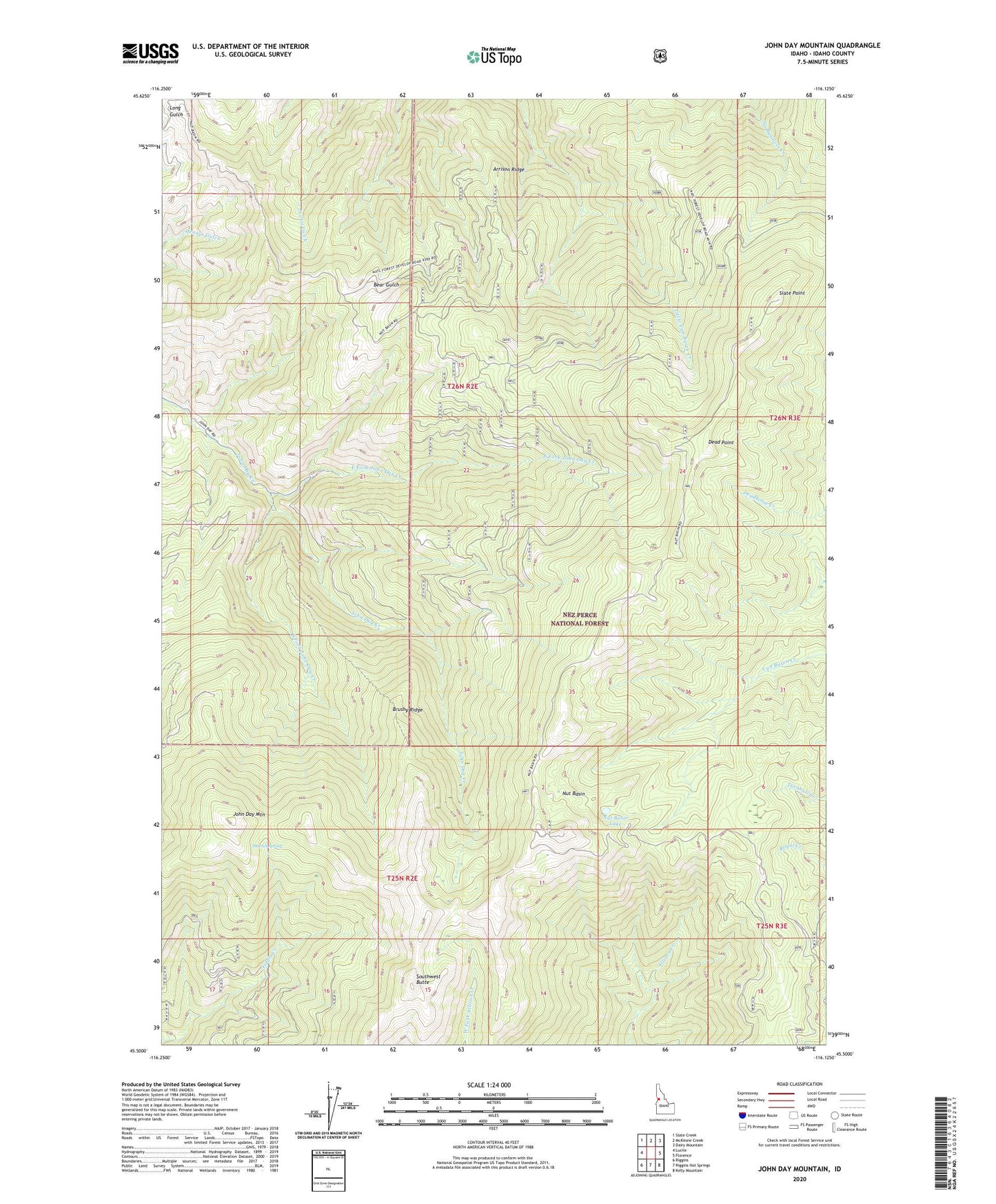
John Day Mountain Idaho US Topo Map
Couldn't load pickup availability
Also explore the John Day Mountain Forest Service Topo of this same quad for updated USFS data
2024 topographic map quadrangle John Day Mountain in the state of Idaho. Scale: 1:24000. Based on the newly updated USGS 7.5' US Topo map series, this map is in the following counties: Idaho. The map contains contour data, water features, and other items you are used to seeing on USGS maps, but also has updated roads and other features. This is the next generation of topographic maps. Printed on high-quality waterproof paper with UV fade-resistant inks.
Quads adjacent to this one:
West: Lucile
Northwest: Slate Creek
North: McKinzie Creek
Northeast: Dairy Mountain
East: Florence
Southeast: Kelly Mountain
South: Riggins Hot Springs
Southwest: Riggins
This map covers the same area as the classic USGS quad with code o45116e2.
Contains the following named places: Arrison Ridge, Brushy Ridge, Dead Point, East Fork John Day Creek, H Rhett, John Day Mountain, Martin Spring, Nut Basin, Nut Basin Lake, Rape Place, Slate Point, South Fork John Day Creek, Southwest Butte