MyTopo
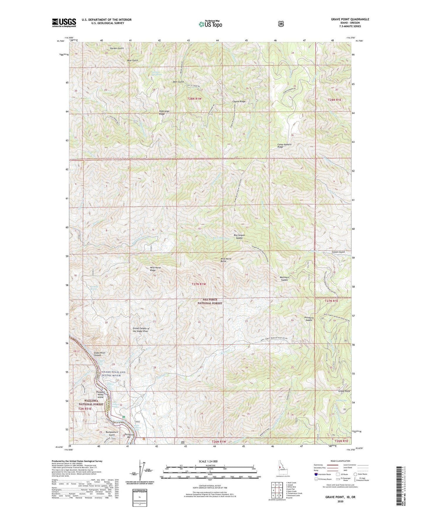
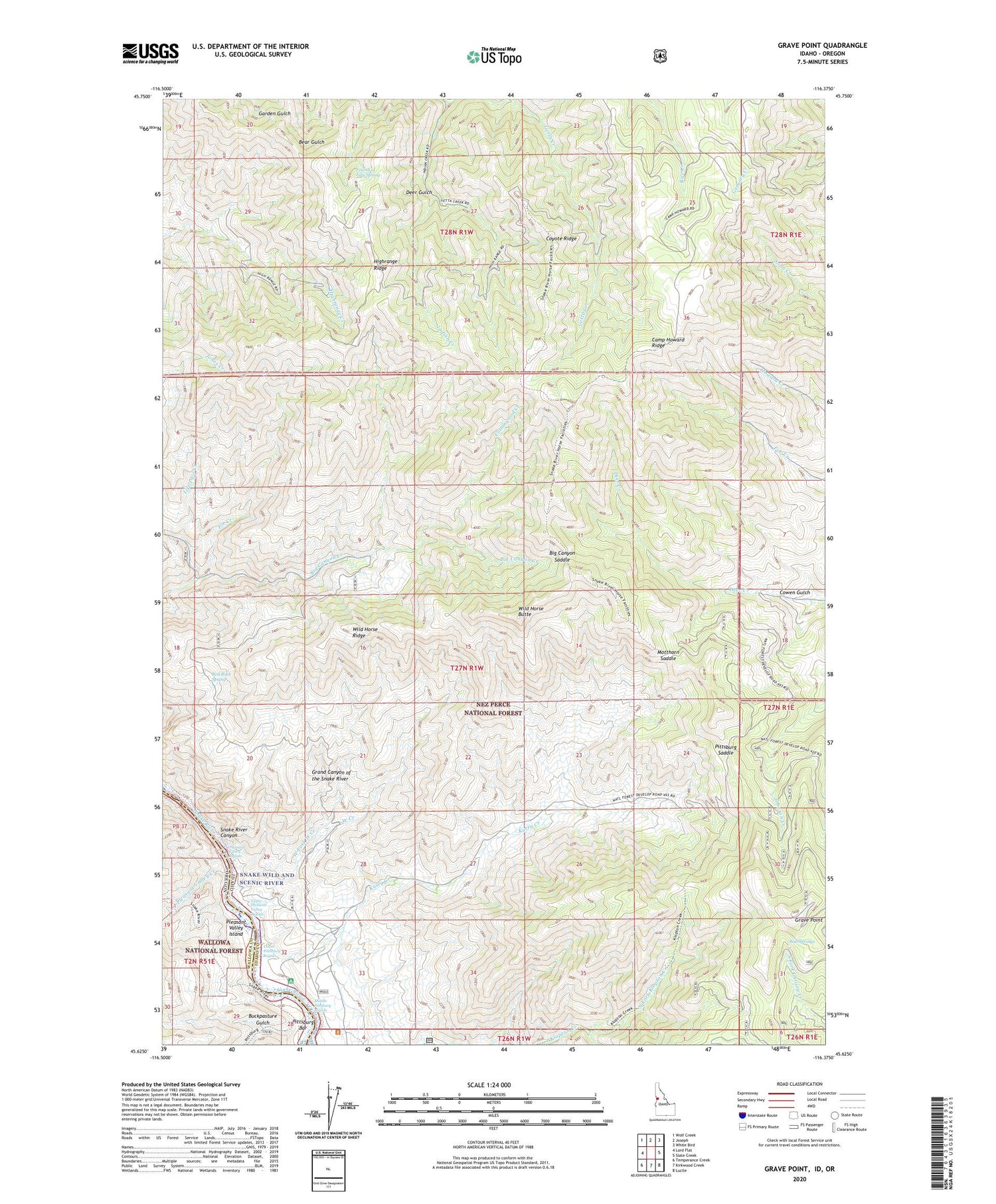
Grave Point Idaho US Topo Map
Couldn't load pickup availability
Also explore the Grave Point Forest Service Topo of this same quad for updated USFS data
2024 topographic map quadrangle Grave Point in the states of Idaho, Oregon. Scale: 1:24000. Based on the newly updated USGS 7.5' US Topo map series, this map is in the following counties: Idaho, Wallowa. The map contains contour data, water features, and other items you are used to seeing on USGS maps, but also has updated roads and other features. This is the next generation of topographic maps. Printed on high-quality waterproof paper with UV fade-resistant inks.
Quads adjacent to this one:
West: Lord Flat
Northwest: Wolf Creek
North: Joseph
Northeast: White Bird
East: Slate Creek
Southeast: Lucile
South: Kirkwood Creek
Southwest: Temperance Creek
Contains the following named places: Bear Gulch, Big Canyon Saddle, Buckpasture Gulch, Bull Springs, Camp Howard Cow Camp, Camp Howard Ridge, Christie Creek Forest Service Station, Circle C Ranch, Cottonwood Creek, Cowen Gulch, Coyote Ridge, Deer Gulch, Fir Creek, Fourth of July Spring, Grand Canyon of the Snake River, Grave Point, Highrange Ridge, Indian Creek, Kurry Creek, Little Fir Creek, Lower Pittsburg Landing, Lower Pittsburg Rapids, Middle Pittsburg Rapids, Motthorn Saddle, North Fork Klopton Creek, Pittsburg Bar, Pittsburg Creek, Pittsburg Saddle, Pleasant Valley Creek, Pleasant Valley Island, Pleasant Valley Rapids, Red Rock Spring, Taylor, Upper Pittsburg Landing, Upper Pleasant Valley Rapids, Walters Ranch, West Creek, West Fork West Creek, Wild Horse Butte, Wild Horse Ridge