MyTopo
Kirkwood Creek Idaho US Topo Map
Couldn't load pickup availability
Also explore the Kirkwood Creek Forest Service Topo of this same quad for updated USFS data
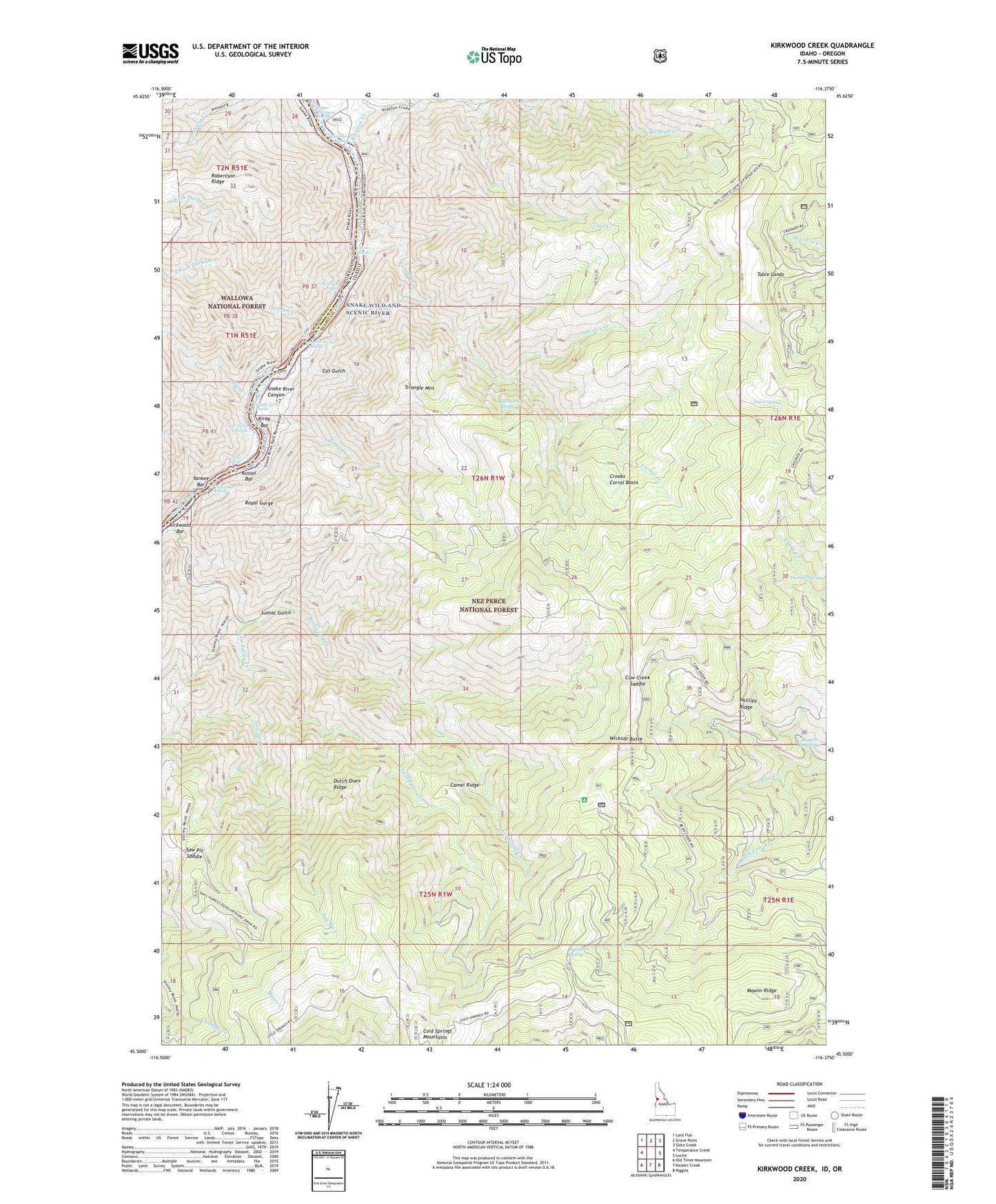
2024 topographic map quadrangle Kirkwood Creek in the states of Idaho, Oregon. Scale: 1:24000. Based on the newly updated USGS 7.5' US Topo map series, this map is in the following counties: Idaho, Wallowa. The map contains contour data, water features, and other items you are used to seeing on USGS maps, but also has updated roads and other features. This is the next generation of topographic maps. Printed on high-quality waterproof paper with UV fade-resistant inks.
Quads adjacent to this one:
West: Temperance Creek
Northwest: Lord Flat
North: Grave Point
Northeast: Slate Creek
East: Lucile
Southeast: Riggins
South: Kessler Creek
Southwest: Old Timer Mountain
Contains the following named places: Blue Jacket Mine, Buckhorn Spring, Calvin, Calvin Ranch, Camel Ridge, Cat Gulch, China Rapids, Cold Springs Cow Camp, Cold Springs Mountains, Coral Creek Reef, Corral Creek, Cougar Creek, Cow Creek Saddle, Crooks Corral, Crooks Corral Basin, Davis Ranch, Davis Spring, Dixon Corrals, Dixon Cow Camp, Durham Creek, Durham Rapids, Dutch Oven Ridge, Elk Horn Spring, Harlin Mill, Henry Baker, Henry Baker Ranch, Hiltsley Creek, Kirby Bar, Kirby Creek, Kirkwood Bar, Kirkwood Corrals, Kirkwood Cow Camp, Kirkwood Creek, Klopton Creek, Logged Up Springs, Lost Valley Creek, Lower Kirby Rapids, Maxim Ridge, Middle Kirby Rapids, Muir Creek, Muir Rapids, North Fork Durham Creek, Phillips Ridge, Pittsburgh Landing, Riddle Lodge, Robertson Ridge, Royal Gorge, Russel Bar, Saw Pit Creek, Saw Pit Saddle, Snake River Canyon, South Fork Cow Creek, South Fork Durham Creek, Sumac Gulch, Table Lands, Trail Creek, Triangle Mountain, Upper Kirby Rapids, Upper Pittsburg Rapids, Upper Pittsburgh Landing, Wickiup Butte, Wilson Ranch, Yankee Bar, Yankee Bar Rapids


