MyTopo
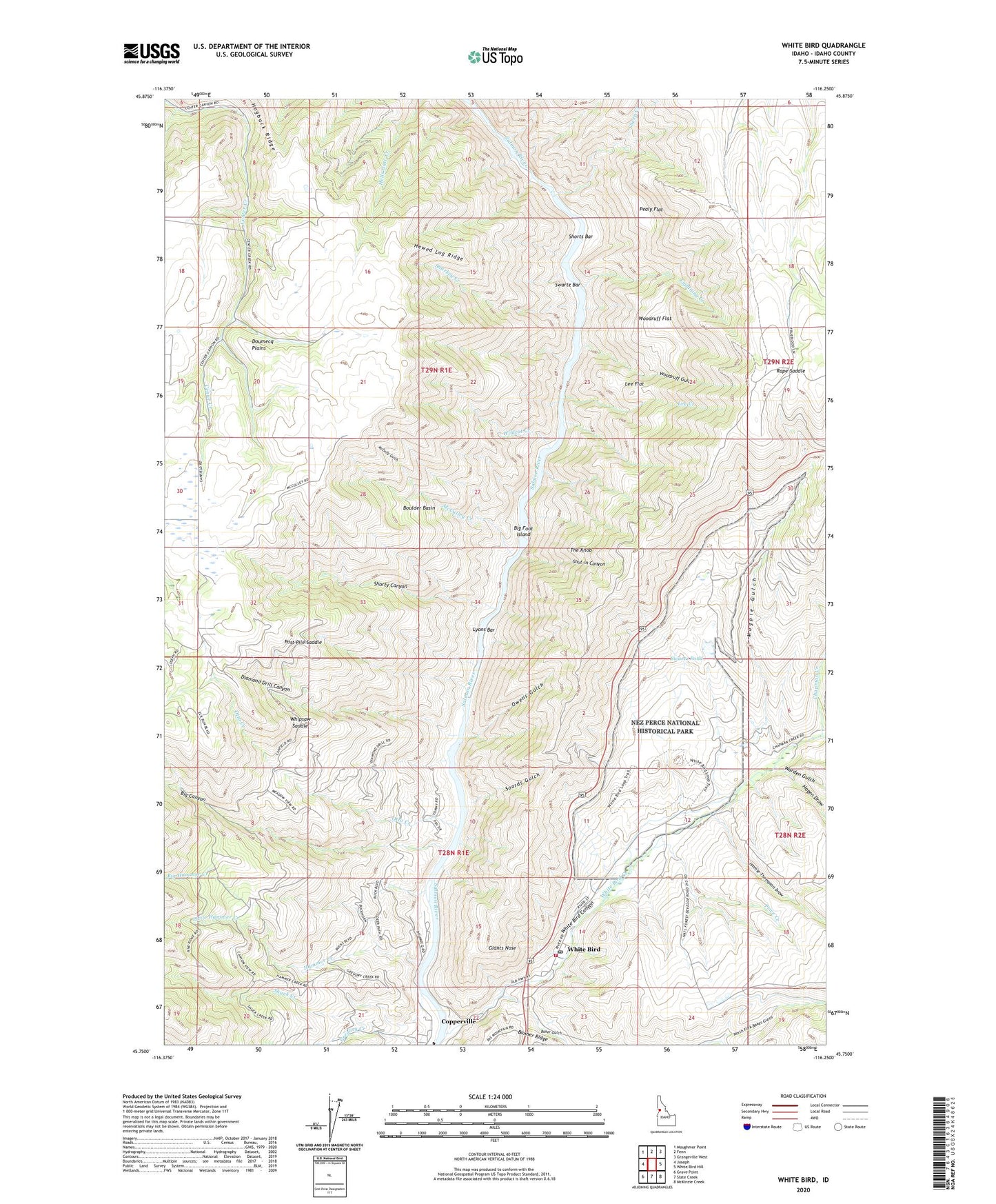
White Bird Idaho US Topo Map
Couldn't load pickup availability
Also explore the White Bird Forest Service Topo of this same quad for updated USFS data
2024 topographic map quadrangle White Bird in the state of Idaho. Scale: 1:24000. Based on the newly updated USGS 7.5' US Topo map series, this map is in the following counties: Idaho. The map contains contour data, water features, and other items you are used to seeing on USGS maps, but also has updated roads and other features. This is the next generation of topographic maps. Printed on high-quality waterproof paper with UV fade-resistant inks.
Quads adjacent to this one:
West: Joseph
Northwest: Moughmer Point
North: Fenn
Northeast: Grangeville West
East: White Bird Hill
Southeast: McKinzie Creek
South: Slate Creek
Southwest: Grave Point
This map covers the same area as the classic USGS quad with code o45116g3.
Contains the following named places: Baker Gulch, Battle Ground, Bentz Brothers, Big Canyon, Big Foot Island, Big Hammer Creek, Boulder Basin, Canfield, Chapman Creek, City of White Bird, Cook, Copperville, Diamond Drill Canyon, Diamond Drill Mine, Doumecq Plains, Giants Nose, Gregory Creek, Hagen Draw, Hammer Creek, Hammer Creek Recreation Site, Hewed Log Ridge, Jimmie Thompson Draw, Lee Creek, Lee Flat, Lightning Creek, Little Hammer Creek, Lyons Bar, Lyons Mining Camp, Magpie Gulch, Manuel Post Office, McCulley Creek, McCully Gulch, Nez Perce National Historical Park, Nezperce Indian War Historical Monument, North Fork Baker Gulch, Otto Creek, Owens Gulch, Pealy Flat, Post Pile Saddle, Price Creek, Rape Saddle, Sharkey Creek, Sheep Creek, Shorts Bar, Shorty Canyon, Shut-in Canyon, Soards Gulch, Swartz Bar, Swartz Pond, The Knob, Warden Gulch, Whipsaw Saddle, White Bird, White Bird Canyon, White Bird Creek, White Bird Fire Department, White Bird Post Office, White Bird Primary School, Wildcat Creek, Woodruff Flat, Woodruff Gulch


