MyTopo
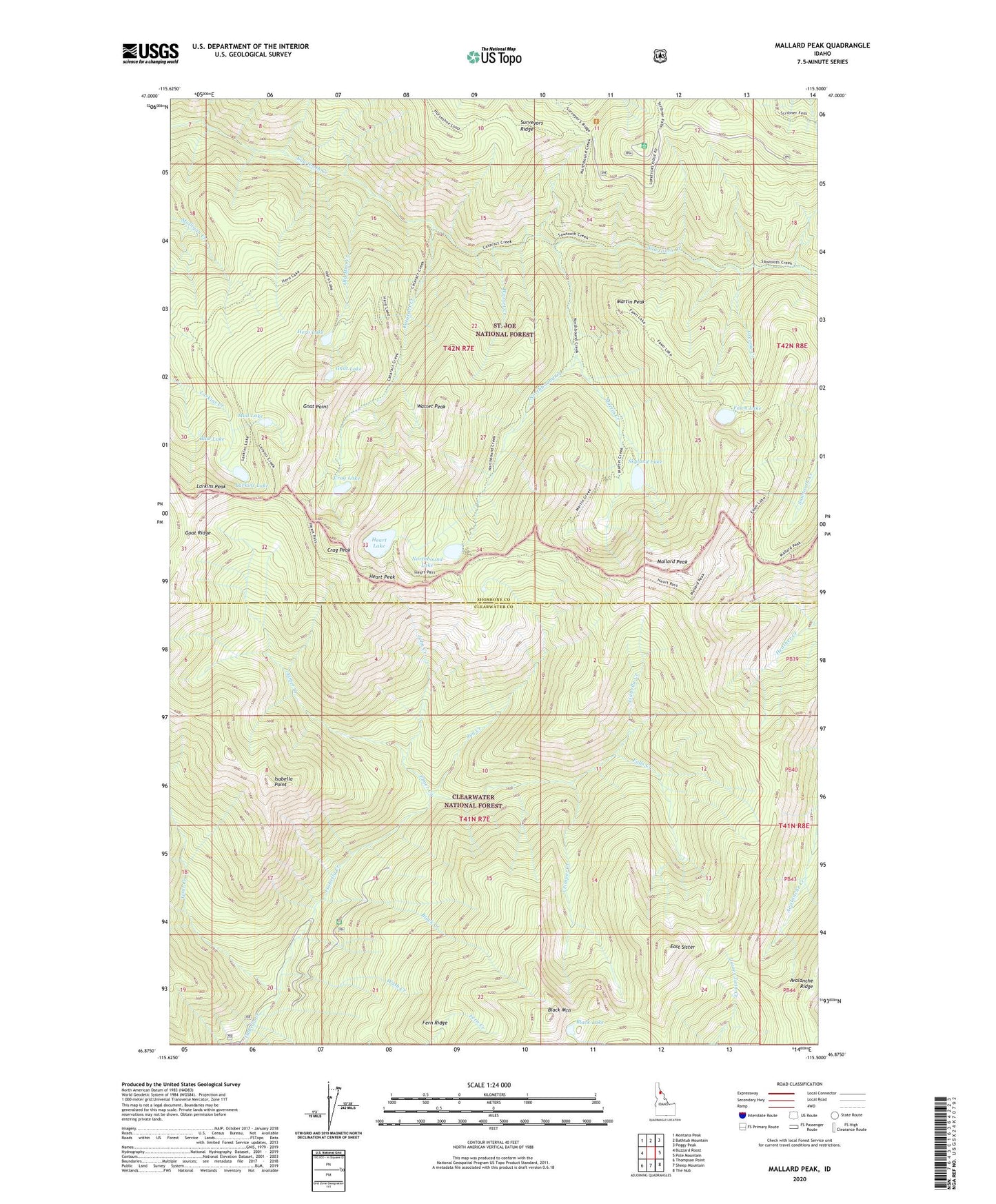
Mallard Peak Idaho US Topo Map
Couldn't load pickup availability
Also explore the Mallard Peak Forest Service Topo of this same quad for updated USFS data
2024 topographic map quadrangle Mallard Peak in the state of Idaho. Scale: 1:24000. Based on the newly updated USGS 7.5' US Topo map series, this map is in the following counties: Shoshone, Clearwater. The map contains contour data, water features, and other items you are used to seeing on USGS maps, but also has updated roads and other features. This is the next generation of topographic maps. Printed on high-quality waterproof paper with UV fade-resistant inks.
Quads adjacent to this one:
West: Buzzard Roost
Northwest: Montana Peak
North: Bathtub Mountain
Northeast: Peggy Peak
East: Pole Mountain
Southeast: The Nub
South: Sheep Mountain
Southwest: Thompson Point
This map covers the same area as the classic USGS quad with code o46115h5.
Contains the following named places: Black Buttes, Black Creek, Black Lake, Black Mountain, Blue Lake, Cataract Creek, Crag Lake, Crag Peak, Crimper Creek, East Sister, Elmer Creek, Falls Creek, Fawn Lake, Fern Ridge, Gnat Lake, Gnat Point, Goat Creek, Goat Ridge, Greenie Creek, Heart Lake, Heart Peak, Hero Lake, Isabella Point, John Creek, Jug Creek, Larkins Lake, Larkins Peak, Mallard Lake, Mallard Larkins Pioneer Park, Mallard Peak, Martin Creek, Martin Peak, Mud Lake, Northbound Creek, Northbound Lake, Old Man Creek, Skyland Lake, Surveyors Ridge Lookout, Wash Creek, Wasset Creek, Wasset Peak