MyTopo
Bathtub Mountain Idaho US Topo Map
Couldn't load pickup availability
Also explore the Bathtub Mountain Forest Service Topo of this same quad for updated USFS data
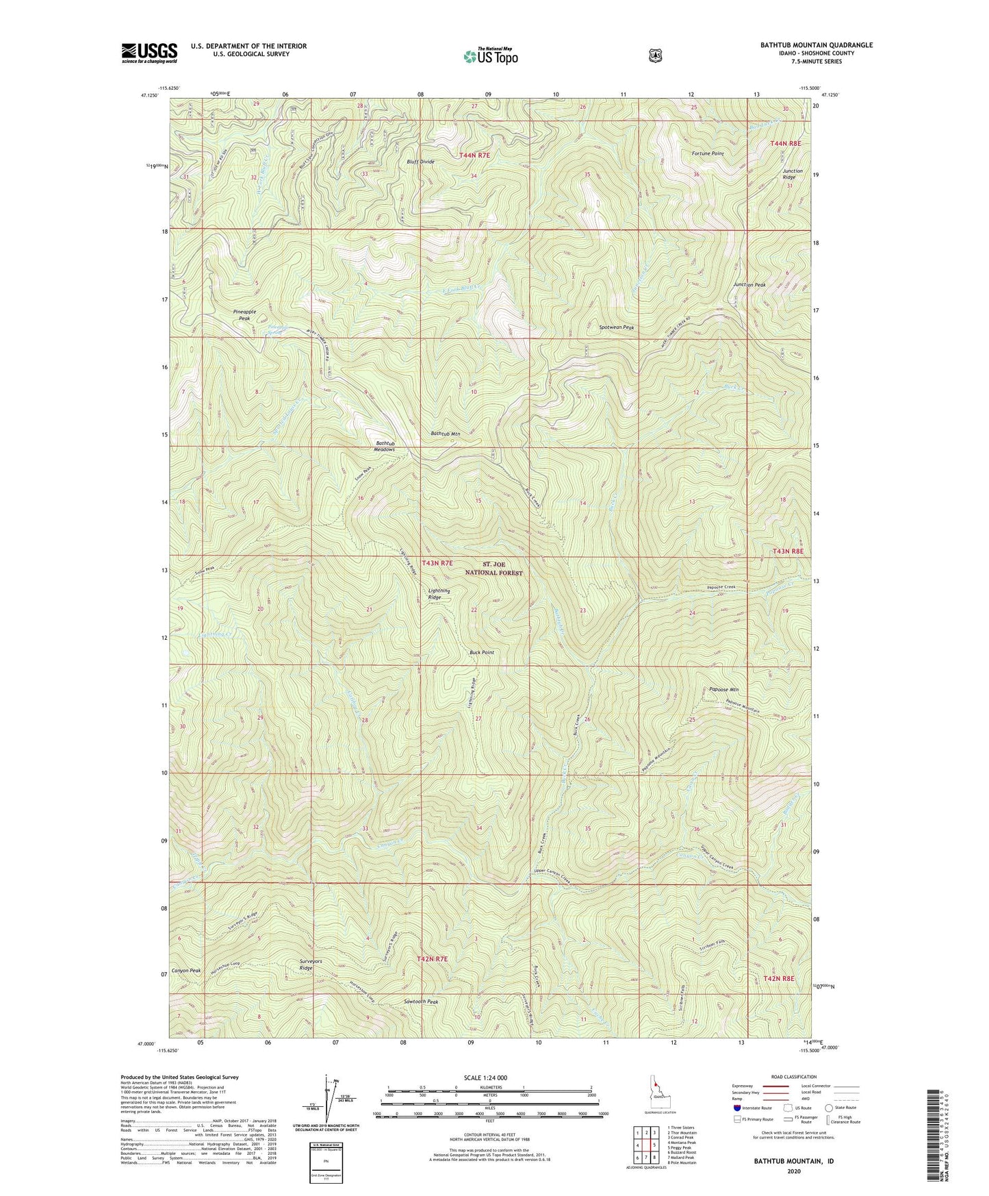
2024 topographic map quadrangle Bathtub Mountain in the state of Idaho. Scale: 1:24000. Based on the newly updated USGS 7.5' US Topo map series, this map is in the following counties: Shoshone. The map contains contour data, water features, and other items you are used to seeing on USGS maps, but also has updated roads and other features. This is the next generation of topographic maps. Printed on high-quality waterproof paper with UV fade-resistant inks.
Quads adjacent to this one:
West: Montana Peak
Northwest: Three Sisters
North: Thor Mountain
Northeast: Conrad Peak
East: Peggy Peak
Southeast: Pole Mountain
South: Mallard Peak
Southwest: Buzzard Roost
This map covers the same area as the classic USGS quad with code o47115a5.
Contains the following named places: Badger Creek, Bathtub Creek, Bathtub Meadows, Bathtub Mountain, Bluff Divide, Buck Creek, Buck Point, Cache Creek, Cairn Creek, Canyon Peak, Caribou Creek, Fortune Point, Junction Creek, Junction Peak, Lightning Creek, Lightning Ridge, Papoose Creek, Papoose Mountain, Pineapple Peak, Pineapple Spring, Sawtooth Peak, Spotwean Peak, Triple Creek, ZIP Code: 83802