MyTopo
Pilot Peak Idaho US Topo Map
Couldn't load pickup availability
Also explore the Pilot Peak Forest Service Topo of this same quad for updated USFS data
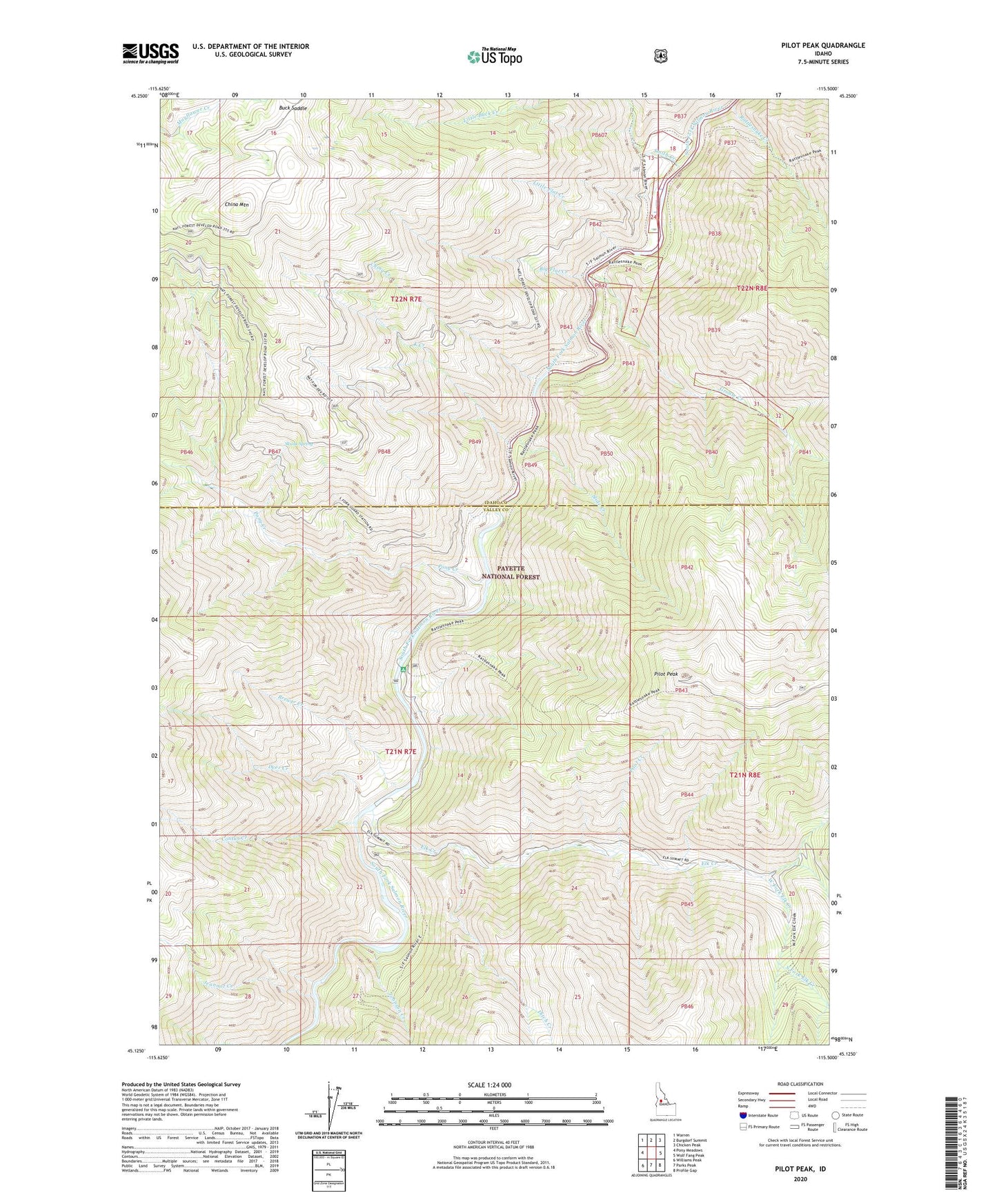
2024 topographic map quadrangle Pilot Peak in the state of Idaho. Scale: 1:24000. Based on the newly updated USGS 7.5' US Topo map series, this map is in the following counties: Valley, Idaho. The map contains contour data, water features, and other items you are used to seeing on USGS maps, but also has updated roads and other features. This is the next generation of topographic maps. Printed on high-quality waterproof paper with UV fade-resistant inks.
Quads adjacent to this one:
West: Pony Meadows
Northwest: Warren
North: Burgdorf Summit
Northeast: Chicken Peak
East: Wolf Fang Peak
Southeast: Profile Gap
South: Parks Peak
Southwest: Williams Peak
This map covers the same area as the classic USGS quad with code o45115b5.
Contains the following named places: Big Flat Creek, Brewer Creek, Buck Saddle, China Creek, China Mountain, Contux Creek, Deer Creek, Ditch Creek, Elk Creek, Grouse Creek, Hays Station, Hettinger Trailhead, Jeannot Creek, Johnson Creek, K Creek, Little Flat Creek, Middle Fork Elk Creek, Pilot Creek, Pilot Peak, Pilot Peak Lookout, Pony Creek, Rattlesnake Creek, Shiefer Campground, Skunk Spring, Slide Creek, Smith Creek, South Fork Elk Creek, South Fork Guard Station, West Fork Elk Creek