MyTopo
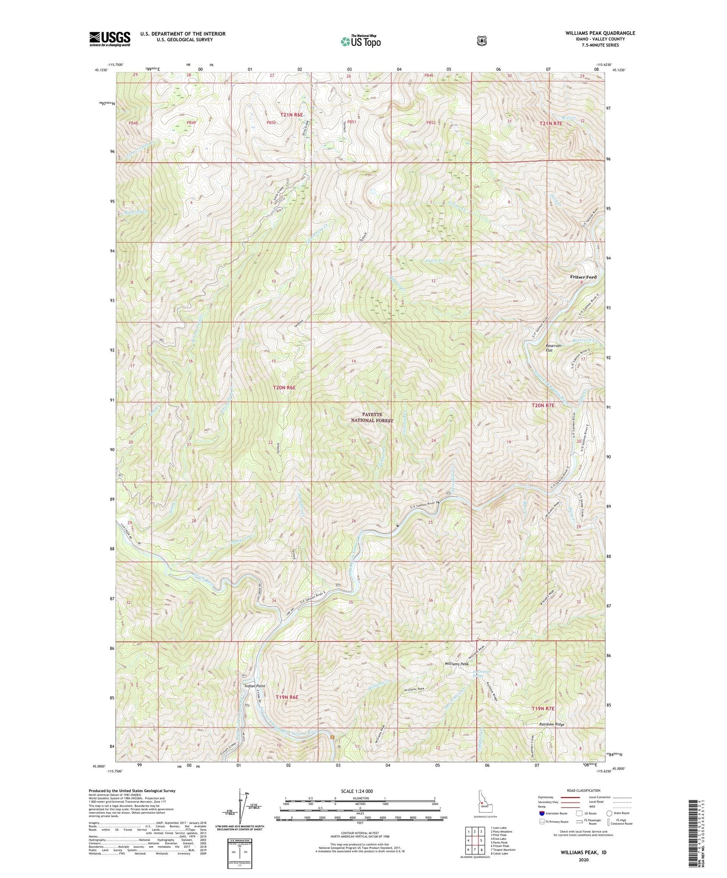
Williams Peak Idaho US Topo Map
Couldn't load pickup availability
Also explore the Williams Peak Forest Service Topo of this same quad for updated USFS data
2024 topographic map quadrangle Williams Peak in the state of Idaho. Scale: 1:24000. Based on the newly updated USGS 7.5' US Topo map series, this map is in the following counties: Valley. The map contains contour data, water features, and other items you are used to seeing on USGS maps, but also has updated roads and other features. This is the next generation of topographic maps. Printed on high-quality waterproof paper with UV fade-resistant inks.
Quads adjacent to this one:
West: Enos Lake
Northwest: Loon Lake
North: Pony Meadows
Northeast: Pilot Peak
East: Parks Peak
Southeast: Caton Lake
South: Teapot Mountain
Southwest: Fitsum Peak
This map covers the same area as the classic USGS quad with code o45115a6.
Contains the following named places: Browns Camp, Circle End Creek, Devil Creek, Dutch Oven Spring, East Fork South Fork Salmon River, East Fork Zena Creek, Fritser Creek, Fritser Ford, Grave Creek, Hall Creek, Hamilton Creek, Indian Picnic Area, Indian Point, Moss Creek, Oompaul Creek, Pidgeon Creek, Reservoir Creek, Reservoir Flat, Secesh River, Sheep Creek, Slide Creek, Tailholt Creek, Threemile Creek, West Fork Zena Creek, Willey Creek, Williams Creek, Williams Peak, Williams Peak Lookout, Zena Creek