MyTopo
Williams Creek Idaho US Topo Map
Couldn't load pickup availability
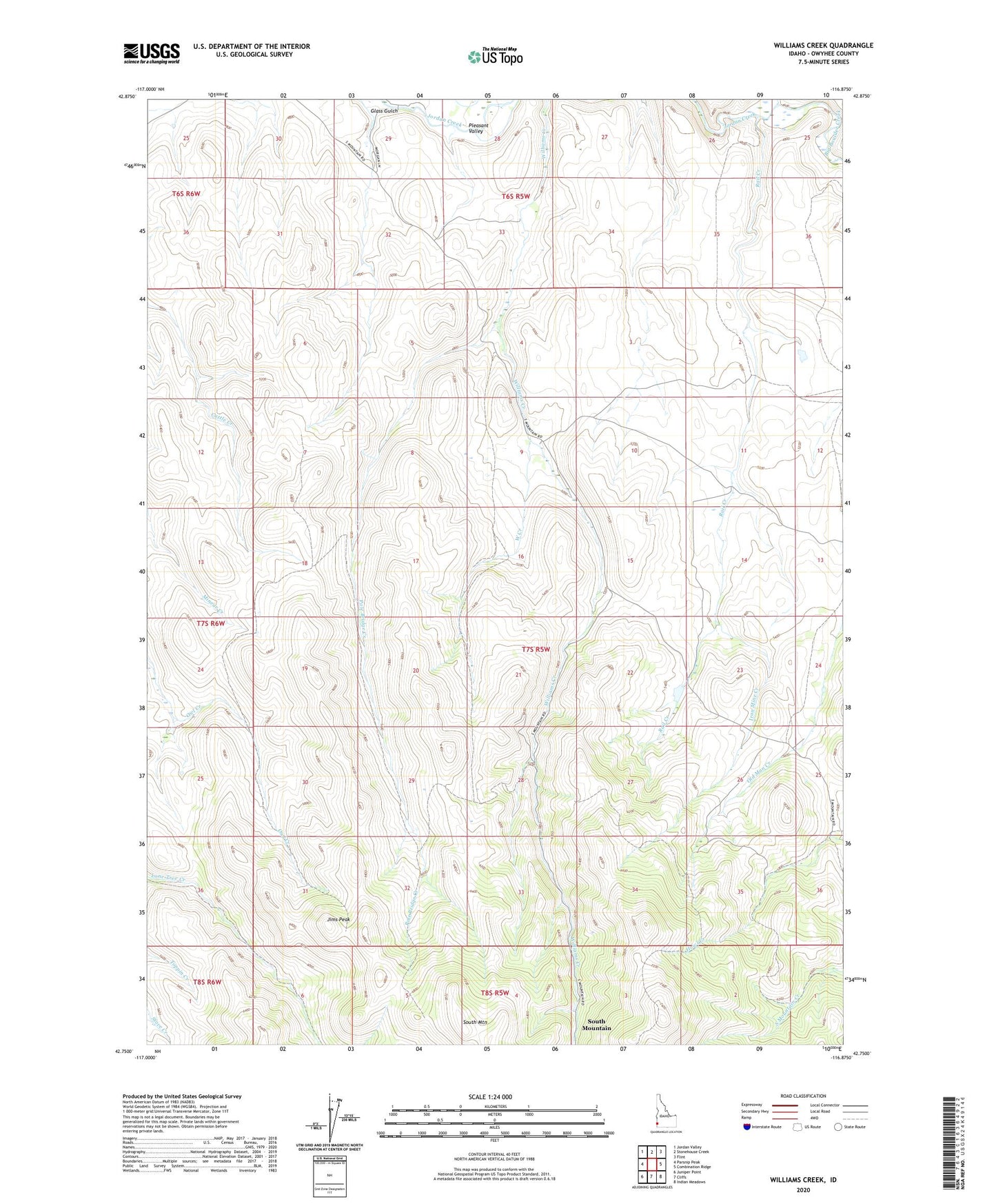
2023 topographic map quadrangle Williams Creek in the state of Idaho. Scale: 1:24000. Based on the newly updated USGS 7.5' US Topo map series, this map is in the following counties: Owyhee. The map contains contour data, water features, and other items you are used to seeing on USGS maps, but also has updated roads and other features. This is the next generation of topographic maps. Printed on high-quality waterproof paper with UV fade-resistant inks.
Quads adjacent to this one:
West: Parsnip Peak
Northwest: Jordan Valley
North: Stonehouse Creek
Northeast: Flint
East: Combination Ridge
Southeast: Indian Meadows
South: Cliffs
Southwest: Juniper Point
This map covers the same area as the classic USGS quad with code o42116g8.
Contains the following named places: Big Boulder Creek, Glass Gulch, Iron Mine Creek, Jims Peak, Pershall Dam, Pole Bridge Creek, Rail Creek, South Mountain, West Creek