MyTopo
Bald Knob Illinois US Topo Map
Couldn't load pickup availability
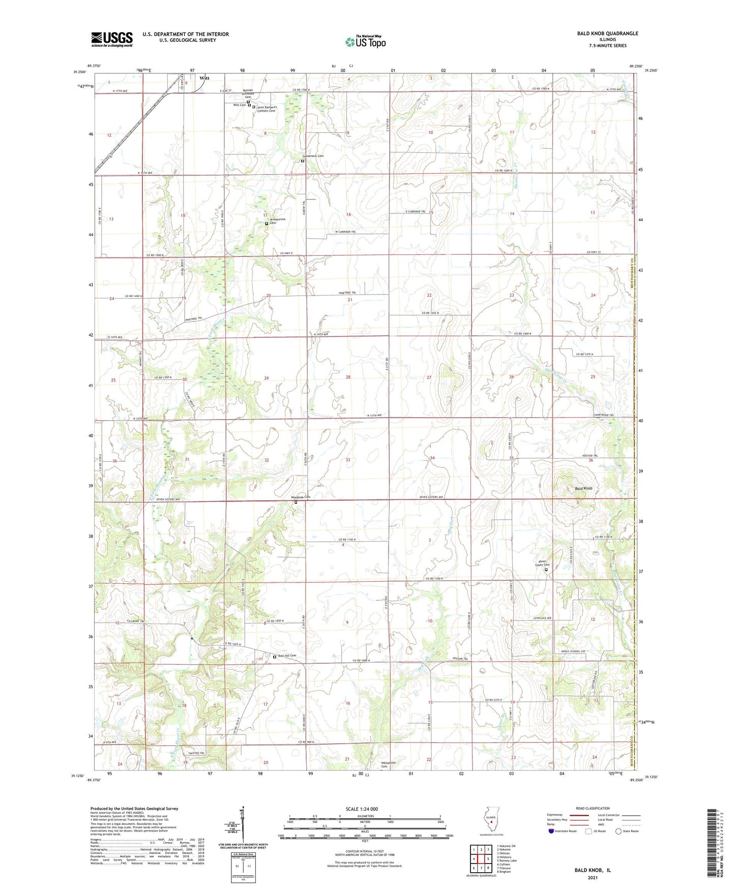
2024 topographic map quadrangle Bald Knob in the state of Illinois. Scale: 1:24000. Based on the newly updated USGS 7.5' US Topo map series, this map is in the following counties: Montgomery, Fayette. The map contains contour data, water features, and other items you are used to seeing on USGS maps, but also has updated roads and other features. This is the next generation of topographic maps. Printed on high-quality waterproof paper with UV fade-resistant inks.
Quads adjacent to this one:
West: Hillsboro
Northwest: Nokomis SW
North: Nokomis
Northeast: Ohlman
East: Ramsey Lake
Southeast: Bingham
South: Fillmore
Southwest: Coffeen
This map covers the same area as the classic USGS quad with code o39089b3.
Contains the following named places: Abner Casey Cemetery, Armentrout Cemetery, Bald Knob, Bost Hill Cemetery, Bost Hill Church, Bost Hill School, College Hill School, Eddington Dairy Farm, Gooseneck Cemetery, Hoehn RLA Airport, Knowles School, McNeely Landing Strip, O K Flying Club Inc Airport, Olive Branch School, Pleasant Hill School, Pleasant View School, Prairie College School, Prairie View School, Sandy Bend School, Starr School, Township of Fillmore, Township of Witt, Witt Cemetery, Woodside Cemetery, Woodside Church, ZIP Code: 62094