MyTopo
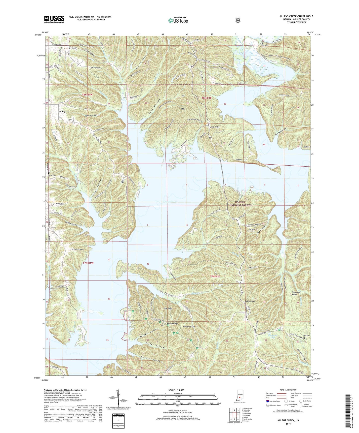
Allens Creek Indiana US Topo Map
Couldn't load pickup availability
Also explore the Allens Creek Forest Service Topo of this same quad for updated USFS data
2022 topographic map quadrangle Allens Creek in the state of Indiana. Scale: 1:24000. Based on the newly updated USGS 7.5' US Topo map series, this map is in the following counties: Monroe. The map contains contour data, water features, and other items you are used to seeing on USGS maps, but also has updated roads and other features. This is the next generation of topographic maps. Printed on high-quality waterproof paper with UV fade-resistant inks.
Quads adjacent to this one:
West: Clear Creek
Northwest: Bloomington
North: Unionville
Northeast: Belmont
East: Elkinsville
Southeast: Norman
South: Bartlettsville
Southwest: Oolitic
This map covers the same area as the classic USGS quad with code o39086a4.
Contains the following named places: Allens Creek, Allens Creek Post Office, Allens Creek State Recreation Area, Baxter Branch, Blackwell Church, Blackwell Lake, Blackwell Pond Campground, Burgoon Church Cemetery, Butcher Branch, Butcher Hollow, Chapel Hill School, Dutch Ridge, Dutch Ridge Lookout Tower, Eads Hollow, Fairfax, Fairfax State Recreation Area, Friendship Cemetery, Frog Pond Ridge, Handy, Hardin Ridge, Hardin Ridge Recreation Area, Hardin Ridge Recreation Site, Hayes Hollow, Holland Ridge, Jacobs Hollow, Jarrell Hollow, Johnson Hollow, Knight Ridge School, Lake Monroe Airport, Lucas Cemetery, Martin Hollow, Middle Fork Salt Creek, Miller Hollow, Monroe Lake, Moore Creek, Mount Calvary Church, Mount Ebal Church, New Paynetown Church, North Fork Salt Creek, North Fork State Wildlife Refuge, Pate Hollow, Paynetown State Recreation Area, Phillipe Hollow, Pine Grove Church, Pine Ridge, Ramp Creek, Ransburg Boy Scout Reservation, Rush Ridge, Saddle Creek, Sherril Hollow, Shiloh Temple, Siscoe Branch, South Granger Post Office, Todd Cemetery, Township of Polk, Township of Salt Creek, ZIP Code: 47401


