MyTopo
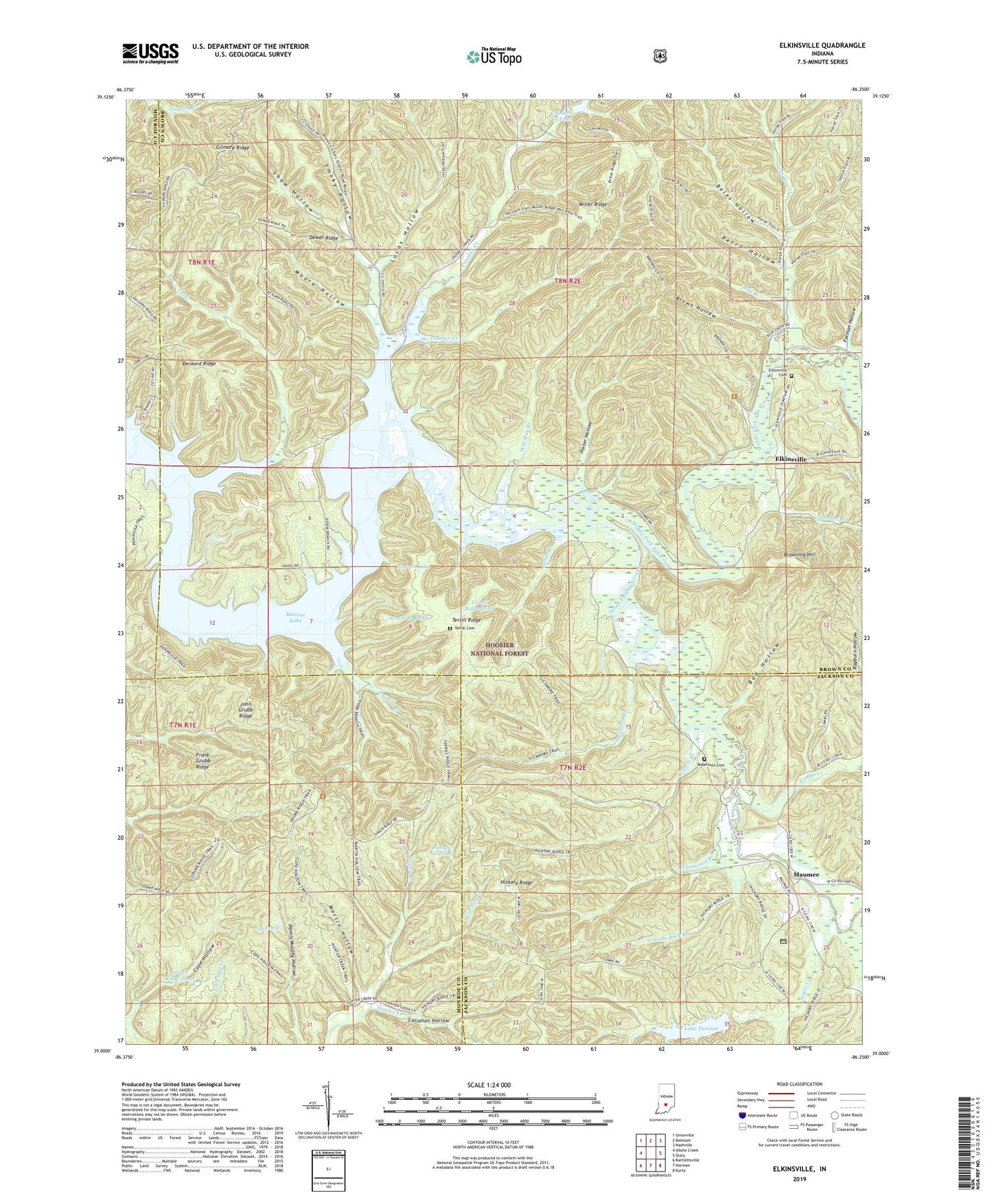
Elkinsville Indiana US Topo Map
Couldn't load pickup availability
Also explore the Elkinsville Forest Service Topo of this same quad for updated USFS data
2022 topographic map quadrangle Elkinsville in the state of Indiana. Scale: 1:24000. Based on the newly updated USGS 7.5' US Topo map series, this map is in the following counties: Brown, Jackson, Monroe. The map contains contour data, water features, and other items you are used to seeing on USGS maps, but also has updated roads and other features. This is the next generation of topographic maps. Printed on high-quality waterproof paper with UV fade-resistant inks.
Quads adjacent to this one:
West: Allens Creek
Northwest: Unionville
North: Belmont
Northeast: Nashville
East: Story
Southeast: Kurtz
South: Norman
Southwest: Bartlettsville
This map covers the same area as the classic USGS quad with code o39086a3.
Contains the following named places: Axsom Branch, Axsom Branch Pond, Bad Hollow, Bales Hollow, Bret Kimberlin Lake, Bret Kimberlin Lake Dam, Brown County State Park, Brown Hollow, Browning Hill, Callahan Hollow, Charles C Deam Wilderness, Charles C. Deam Wilderness, Combs Branch, Combs Creek, Cope Hollow, Crooked Creek, Crooked Creek Church, Crooked Creek Lake, Crooked Creek Lake Dam, Deckard Church, Deckard Ridge, Dewar Ridge, Eel Creek, Elkinsville, Elkinsville Cemetery, Fleetwood Branch, Forman Hollow, Frank Grubb Ridge, Geiger Ridge Pond, Gilmore Ridge, Hickory Ridge, Hickory Ridge Lookout Tower, Hunter Creek Church, Hunter Creek Pond, Jay Pond, John Grubb Ridge, Jones Branch, Lake Tarzian, Lake Tarzian Dam, Lincoln Back Branch, Little Blue Creek, Lucas Hollow, Martin Hollow, Maumee, Maumee Boy Scout Reservation, May Branch, Middle Fork State Wildlife Refuge, Miller Ridge, Moore Hollow, Mose Ray Branch, Negro Creek, Panther Creek, Petro Hollow, Porter Hollow, Robertson Cemetery, Shaw Hollow, Smoky Hollow, South Fork Salt Creek, Spanker Branch, Starnes Branch, Swain Branch, Sycamore Branch, Taylor Branch, Terrill Cemetery, Terrill Ridge, Terrill Ridge Pond, Warren Lake, Will Hay Branch, Youno


