MyTopo
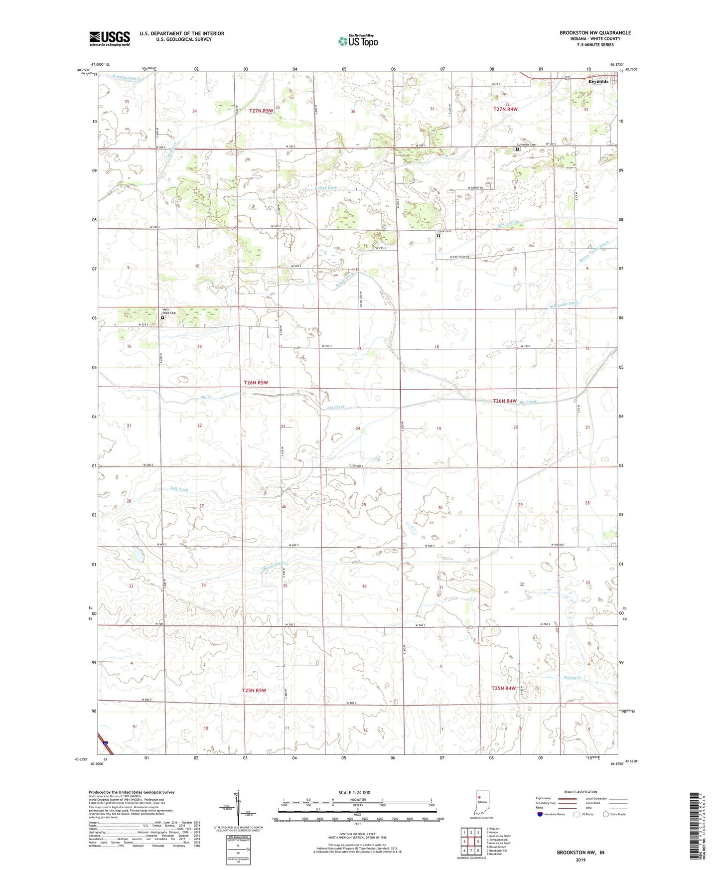
Brookston NW Indiana US Topo Map
Couldn't load pickup availability
2022 topographic map quadrangle Brookston NW in the state of Indiana. Scale: 1:24000. Based on the newly updated USGS 7.5' US Topo map series, this map is in the following counties: White. The map contains contour data, water features, and other items you are used to seeing on USGS maps, but also has updated roads and other features. This is the next generation of topographic maps. Printed on high-quality waterproof paper with UV fade-resistant inks.
Quads adjacent to this one:
West: Templeton NE
Northwest: Wolcott
North: Monon
Northeast: Monticello North
East: Monticello South
Southeast: Brookston
South: Brookston SW
Southwest: Round Grove
This map covers the same area as the classic USGS quad with code o40086f8.
Contains the following named places: Bell Ditch, Dieter Ditch, Dorsey Ditch, Fraser Ditch, Lane Cemetery, Lutheran Cemetery, Reynolds Elementary School, Rosen Treter Ditch, Schroeder Ditch, Scipio Ditch, West Point Cemetery, ZIP Code: 47929