MyTopo
Round Grove Indiana US Topo Map
Couldn't load pickup availability
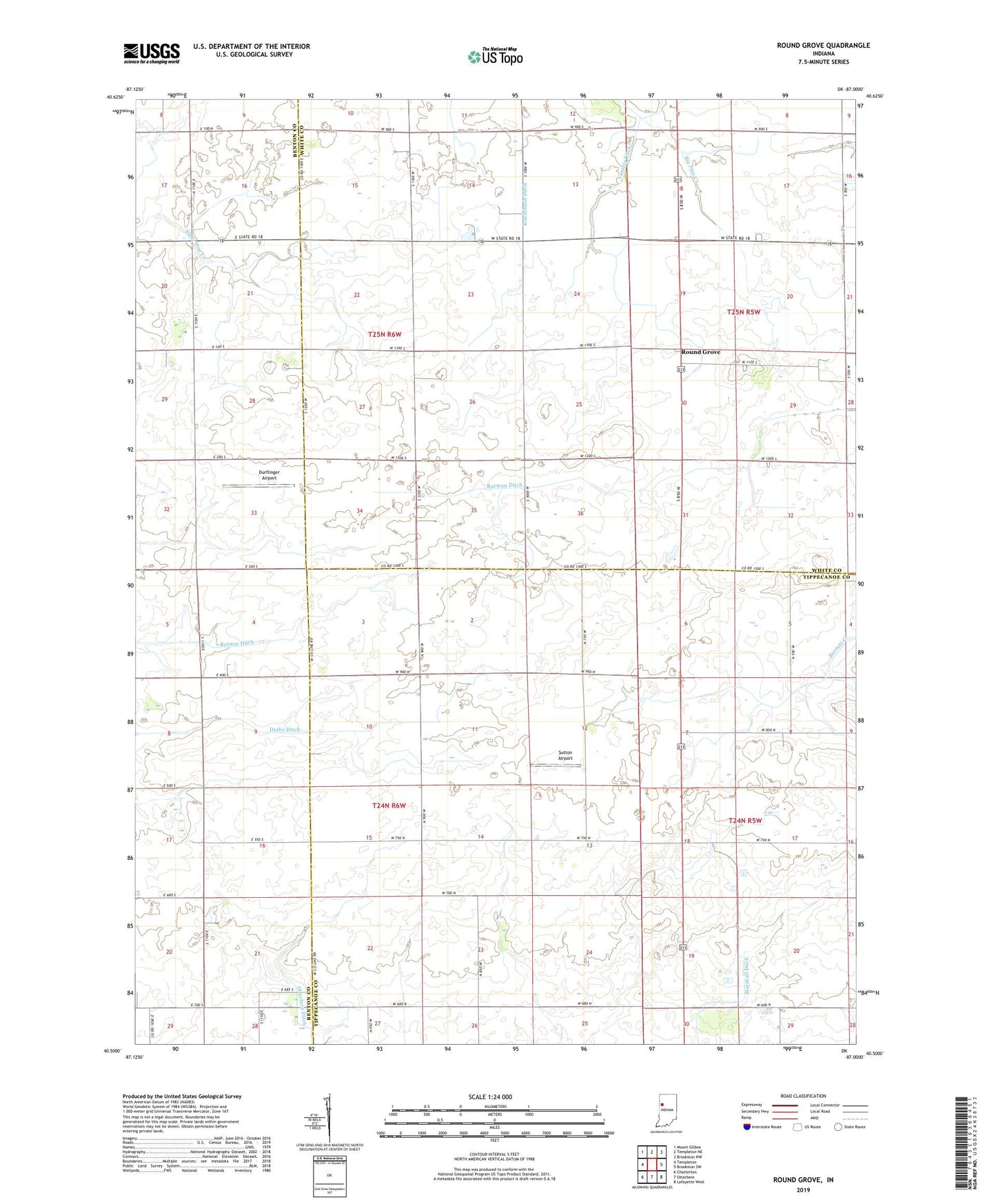
2022 topographic map quadrangle Round Grove in the state of Indiana. Scale: 1:24000. Based on the newly updated USGS 7.5' US Topo map series, this map is in the following counties: Tippecanoe, White, Benton. The map contains contour data, water features, and other items you are used to seeing on USGS maps, but also has updated roads and other features. This is the next generation of topographic maps. Printed on high-quality waterproof paper with UV fade-resistant inks.
Quads adjacent to this one:
West: Templeton
Northwest: Mount Gilboa
North: Templeton NE
Northeast: Brookston NW
East: Brookston SW
Southeast: Lafayette West
South: Otterbein
Southwest: Chatterton
This map covers the same area as the classic USGS quad with code o40087e1.
Contains the following named places: Barrydale Church, Durflinger Airport, Marshall Ditch, Roudebush Ditch, Round Grove, Sutton Airport, Township of Round Grove, Vanatta Ditch