MyTopo
Derby Indiana US Topo Map
Couldn't load pickup availability
Also explore the Derby Forest Service Topo of this same quad for updated USFS data
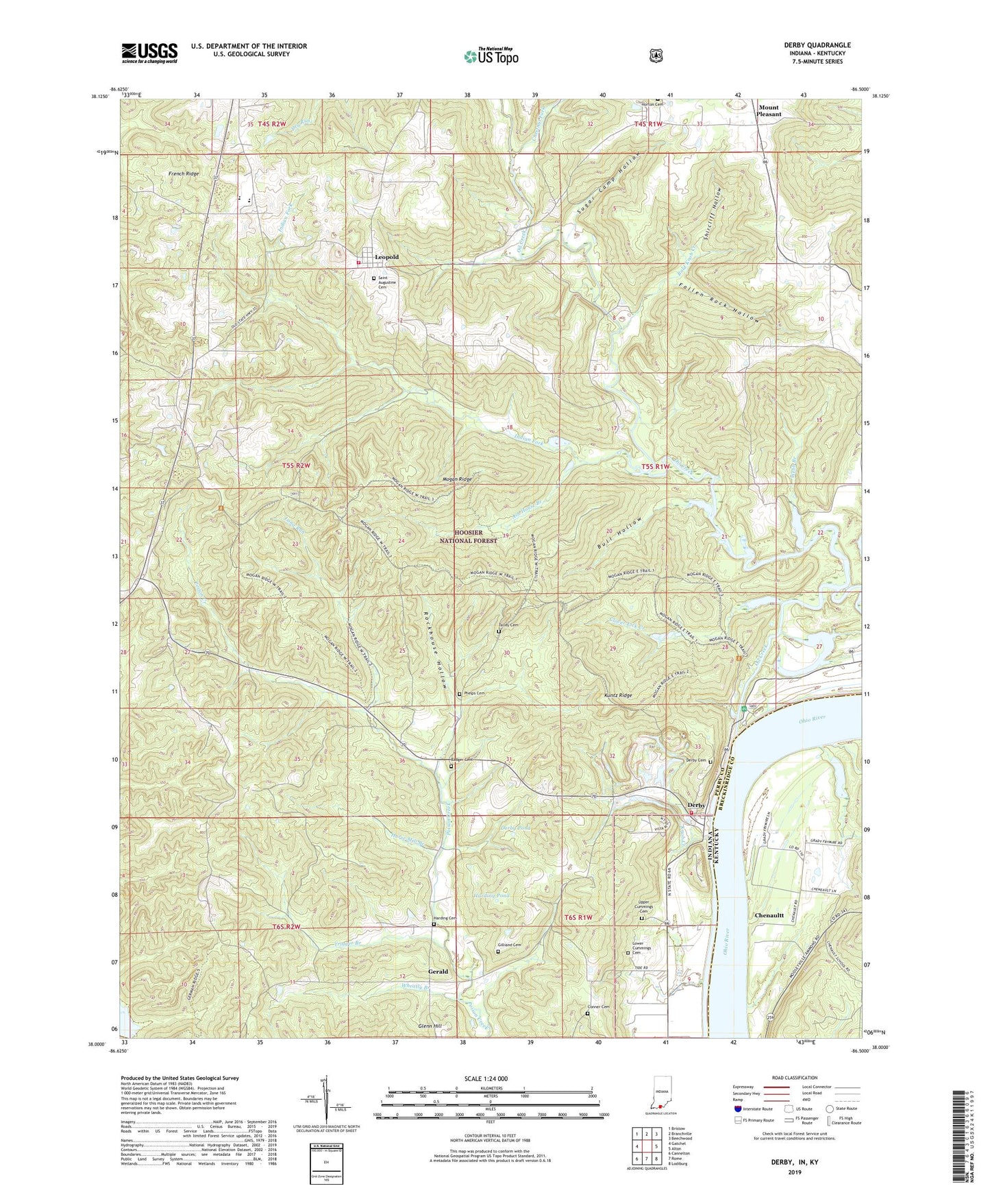
2022 topographic map quadrangle Derby in the states of Indiana, Kentucky. Scale: 1:24000. Based on the newly updated USGS 7.5' US Topo map series, this map is in the following counties: Perry, Breckinridge. The map contains contour data, water features, and other items you are used to seeing on USGS maps, but also has updated roads and other features. This is the next generation of topographic maps. Printed on high-quality waterproof paper with UV fade-resistant inks.
Quads adjacent to this one:
West: Gatchel
Northwest: Bristow
North: Branchville
Northeast: Beechwood
East: Alton
Southeast: Lodiburg
South: Rome
Southwest: Cannelton
Contains the following named places: Ash House Branch, Badger Cemetery, Bald Knob Creek, Bull Hollow, Central Perry Fire Department Station 2, Central Perry Volunteer Fire Department, Chenaultt, Chenaultt School, Chestnut Fork, Clover Lick Creek, Conner Cemetery, Derby, Derby Cemetery, Derby Pond, Derby Quarry, Elder School, Fallen Rock Hollow, French Ridge, Gerald, Gilliand Cemetery, Glenn Hill, Harding Cemetery, Harding Pond, Horse Mill Branch, Indian Fork, Knob Creek, Kuntz Ridge, Leopold, Little Oil Creek, Long Run, Lower Cummings Cemetery, Mano Point Recreation Site, Mogan Ridge, Mount Pleasant, Oil Creek, Perry Central Elementary School Number 1, Perry Central Elementary School Number 2, Perry Central Junior-Senior High School, Perry County Emergency Management Agency Fire and Rescue Station 2, Phelps Cemetery, Rockhouse Hollow, Saint Augustine Cemetery, Saint Augustinus Church, Shircliff Hollow, Sugar Camp Hollow, Talley Cemetery, Township of Leopold, Township of Union, Trigger Branch, Upper Cummings Cemetery, Webb Branch, Wheatly Branch, ZIP Codes: 47525, 47551


