MyTopo
Eaton Indiana US Topo Map
Couldn't load pickup availability
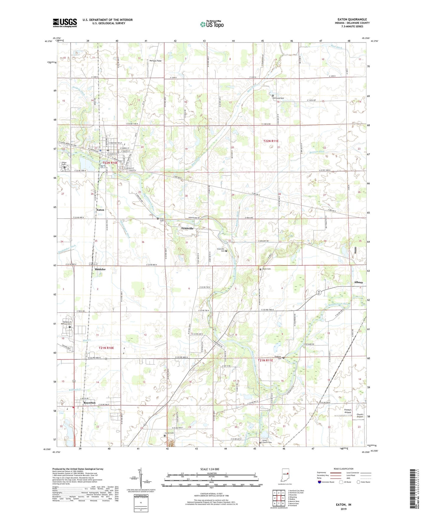
2022 topographic map quadrangle Eaton in the state of Indiana. Scale: 1:24000. Based on the newly updated USGS 7.5' US Topo map series, this map is in the following counties: Delaware. The map contains contour data, water features, and other items you are used to seeing on USGS maps, but also has updated roads and other features. This is the next generation of topographic maps. Printed on high-quality waterproof paper with UV fade-resistant inks.
Quads adjacent to this one:
West: Wheeling
Northwest: Hartford City West
North: Hartford City East
Northeast: Pennville
East: Redkey
Southeast: Farmland
South: Muncie East
Southwest: Muncie West
This map covers the same area as the classic USGS quad with code o40085c3.
Contains the following named places: Black Cemetery, Bosman Ditch, Campbell Creek, Chuck's Airport, Cullen Cemetery, Delaware Chapel, Eaton, Eaton Elementary School, Eaton EMT, Eaton Police Department, Eaton Post Office, Eden Church, Finney's Airpark, Gardens of Memory Cemetery, Godlove Cemetery, Granville, Granville Cemetery, Hamilton Township Fire Department, Holdren Ditch, Horizon Field, Leaird Cemetery, Memorial Park, Rees Ditch, Royerton, Shideler, Swearengen Ditch, Town of Eaton, Township of Delaware, Township of Niles, Union Cemetery, Union Church, Union Church Cemetery, White Church, ZIP Codes: 47320, 47338